Every successful interview starts with knowing what to expect. In this blog, we’ll take you through the top Geophysical Equipment Operation interview questions, breaking them down with expert tips to help you deliver impactful answers. Step into your next interview fully prepared and ready to succeed.
Questions Asked in Geophysical Equipment Operation Interview
Q 1. Describe your experience with different types of geophysical sensors.
My experience encompasses a wide range of geophysical sensors, from the fundamental geophones used in seismic surveys to more advanced instruments like magnetometers and gravity meters. I’ve worked extensively with:
- Geophones: These are the workhorses of seismic exploration, converting ground motion into electrical signals. I’m proficient in deploying various types, including 3-component geophones for recording ground motion in three dimensions and single-component geophones for simpler surveys. I understand the importance of geophone coupling to the ground for optimal signal quality.
- Seismic Sources: I have experience operating and maintaining various seismic sources, including vibroseis trucks (which generate controlled seismic waves using vibrating plates), explosives (used in specific situations requiring high energy), and air guns (for marine surveys). Safe and effective operation of these sources is paramount.
- Magnetometers: I’m familiar with both proton precession and fluxgate magnetometers used in magnetic surveys. I understand the principles behind their operation and the importance of careful base station measurements to correct for diurnal variations in the Earth’s magnetic field.
- Gravity Meters: I’ve worked with both absolute and relative gravity meters. Absolute gravity meters provide precise measurements of the gravitational field strength, while relative gravity meters measure differences in gravity between locations. Understanding the sensitivity of these instruments to environmental factors is crucial for accurate readings.
- Electromagnetic (EM) sensors: I have experience with various EM sensors including VLF, EM31, and time-domain EM systems. These instruments are used to detect subsurface conductivity variations, and I understand the importance of proper instrument orientation and ground coupling.
This diverse experience allows me to select the appropriate sensor technology and deployment strategies for various geological settings and exploration objectives.
Q 2. Explain the process of calibrating geophysical equipment.
Calibrating geophysical equipment is a crucial step to ensure accurate and reliable data. The process varies depending on the type of equipment, but it generally involves comparing the instrument’s readings to known standards. For example:
- Geophones: Geophone calibration involves measuring their sensitivity (the voltage output for a given ground displacement). This is often done using a calibration shaker, a device that produces controlled ground vibrations. The output voltage is then compared to the known input, allowing for the determination of any offsets or scaling factors required.
- Magnetometers: Magnetometer calibration involves comparing readings to a known magnetic field source or to a base station with a precisely known magnetic field. This corrects for instrument drift and variations in the Earth’s magnetic field.
- Gravity Meters: Gravity meters are calibrated using a known gravity standard or by making measurements at a location with a well-known gravity value. The process involves correcting for instrument drift and environmental effects.
Calibration procedures are typically detailed in the manufacturer’s instructions and are often done before, during, and after the field work. Detailed calibration logs are maintained to document any corrections applied to the acquired data.
Think of it like calibrating a kitchen scale: before weighing ingredients for a precise recipe, you need to ensure the scale gives you the correct weight of a standard weight.
Q 3. How do you troubleshoot common problems with seismic data acquisition equipment?
Troubleshooting seismic data acquisition equipment requires a systematic approach. I typically follow these steps:
- Identify the problem: This involves carefully examining the data quality. Are there gaps in the data? Is there excessive noise? Are the amplitudes too low or too high?
- Inspect the equipment: A visual inspection of all cables, connections, and sensors is crucial. This often reveals loose connections, broken cables, or damaged sensors.
- Check the power supply: Ensure adequate power supply to all components, including the data logger and sensors. Low battery power or power outages can significantly affect data quality.
- Review instrument settings: Verify that all instrument parameters are correctly configured, including sampling rates, gains, and filters. Incorrect settings can lead to corrupted or unusable data.
- Conduct signal tests: Use built-in diagnostic tools or external test equipment to assess the signal quality from individual sensors. This helps isolate the source of the problem to a specific component.
- Consult the manufacturer’s manuals: The manufacturer’s documentation provides troubleshooting guides and specifications. This is an essential resource when dealing with complex equipment.
For example, if I notice low signal amplitudes across several geophones in a specific area, I would first check geophone connections and ground coupling. If the problem persists, I would investigate possible issues with the geophone itself or the input channels on the data logger.
Q 4. What safety procedures do you follow when operating geophysical equipment in the field?
Safety is paramount when operating geophysical equipment in the field. My safety procedures include:
- Risk assessment: Before any field operation, a thorough risk assessment is conducted to identify potential hazards (e.g., traffic, weather, hazardous materials, wildlife).
- Personal Protective Equipment (PPE): Appropriate PPE, including hard hats, safety glasses, high-visibility clothing, and hearing protection, is worn at all times.
- Emergency procedures: Emergency response plans, including communication protocols and first aid procedures, are established and communicated to all field personnel. Knowing the location of first aid kits and having access to emergency communication services is essential.
- Safe handling of explosives and other hazardous materials: When using explosives, strict adherence to regulations and licensing requirements is essential. Proper storage, handling, and detonation procedures are rigorously followed.
- Awareness of surroundings: Maintaining awareness of surroundings, including potential environmental hazards and the presence of other people or equipment, is vital to prevent accidents.
- Weather monitoring: Regular monitoring of weather conditions and the ability to suspend operations if necessary is crucial, particularly in challenging weather environments.
For instance, when using explosives, we establish a safe perimeter, ensure appropriate warning signage is in place, and utilize certified blasters to ensure safe detonation procedures are followed.
Q 5. Describe your experience with data quality control in geophysical surveys.
Data quality control (QC) is critical to ensuring the reliability and interpretability of geophysical surveys. My QC procedures include:
- Visual inspection of data: This involves reviewing the raw data for obvious anomalies, such as gaps, spikes, or excessive noise.
- Statistical analysis: Statistical methods are used to identify outliers and assess the overall quality of the data. This can include calculations of data statistics like mean, standard deviation, and signal-to-noise ratio.
- Navigation and location checking: Verifying accurate recording of sensor locations is crucial. GPS data is checked for consistency and accuracy. Any discrepancies need to be resolved.
- Amplitude and frequency analysis: Analysis of the frequency content and amplitude characteristics of the seismic data aids in identifying problems like poor coupling or instrument malfunction.
- Comparison with other data: Where possible, geophysical data is compared with other types of data, such as geological maps or well logs, to identify inconsistencies and confirm the validity of findings.
QC is an iterative process. Issues identified during QC may necessitate corrections or further fieldwork. Detailed QC reports are created to document all procedures and findings.
Q 6. How familiar are you with different data formats used in geophysical surveys?
I am familiar with a range of data formats used in geophysical surveys, including:
- SEG-Y: The industry standard format for seismic data. SEG-Y files contain a large amount of header information about the acquisition parameters, as well as the raw seismic traces.
- SEGY ASCII header: Often used in addition to SEG-Y for human-readable information about the survey parameters and metadata.
- ASCII: Simple text-based format that can be used to store gravity, magnetic, or electromagnetic data. It’s less efficient but easily readable and modifiable.
- HDF5: Hierarchical Data Format, which is increasingly used for storing large geophysical datasets due to its efficiency in handling large volumes of data and metadata.
- Proprietary formats: Some geophysical software packages use proprietary data formats. However, most software packages can import and export data in commonly used industry standard formats like SEG-Y.
My proficiency in handling these formats allows me to efficiently process and interpret geophysical data using different software packages.
Q 7. Explain the principles of seismic reflection and refraction.
Seismic reflection and refraction are two fundamental principles used in seismic surveys to image subsurface structures. They both rely on the propagation of seismic waves through different geological layers.
Seismic Reflection: This method uses the reflections of seismic waves from interfaces between rock layers with different acoustic impedance (a property related to the density and velocity of the rock). The reflected waves are recorded by geophones at the surface, and the time it takes for these waves to travel down to the reflector and back up to the surface is used to determine the depth of the reflecting interface. Think of it like shining a light on a body of water; the reflection from the surface provides information about the surface itself.
Seismic Refraction: This method uses the refraction, or bending, of seismic waves as they pass from one rock layer to another. When seismic waves encounter a boundary between layers with different seismic velocities, they bend according to Snell’s law. By analyzing the travel times of these refracted waves, we can determine the velocities of different layers and their thicknesses. This is analogous to a bent stick appearing to be broken when placed partially in water.
Both reflection and refraction surveys provide valuable information about subsurface structures, such as the depth to bedrock, the presence of faults or fractures, and the distribution of different rock types. Often, the two methods are used together in a single survey to provide a more comprehensive image of the subsurface.
Q 8. What is your experience with processing and interpreting seismic data?
My experience in seismic data processing and interpretation spans over ten years, encompassing various projects from onshore hydrocarbon exploration to offshore reservoir characterization. I’m proficient in the entire workflow, starting from raw data quality control and pre-processing – including noise attenuation, deconvolution, and multiple suppression – to advanced processing techniques like velocity analysis, migration (Kirchhoff and pre-stack depth migration), and attribute analysis. Interpretation involves generating structural and stratigraphic maps, identifying potential hydrocarbon traps, and integrating seismic data with well logs and other geological information. For example, in a recent project involving a complex subsalt imaging challenge, I successfully utilized pre-stack depth migration to obtain a high-resolution image of the target reservoir, leading to a significant improvement in the accuracy of our geological model and ultimately, drilling success.
I’m also experienced in utilizing seismic inversion techniques to estimate rock properties like porosity and impedance, providing crucial input for reservoir simulation studies. My approach is always data-driven, prioritizing rigorous quality control at every stage of the process to ensure the reliability and accuracy of the final interpretations.
Q 9. Describe your understanding of different types of geophysical surveys (e.g., seismic, gravity, magnetic).
Geophysical surveys employ various methods to image the subsurface. Seismic surveys, which I specialize in, use sound waves to create images of subsurface structures. These can be reflection surveys, where we analyze the reflections of waves bouncing off subsurface layers to determine their depth and properties, or refraction surveys, which analyze the bending of waves as they travel through different rock layers. Gravity surveys measure variations in the Earth’s gravitational field, caused by density contrasts in the subsurface, providing information about the distribution of different rock types and potentially identifying subsurface structures like buried channels or salt domes. Magnetic surveys measure variations in the Earth’s magnetic field, caused by differences in the magnetization of subsurface rocks, helping to detect magnetic minerals and potential ore deposits. Each method offers unique insights, and often we use them in conjunction for a more comprehensive understanding of the subsurface.
Think of it like this: seismic is like using sonar to map the ocean floor, gravity is like sensing the varying weight of different objects beneath the surface, and magnetic is like using a metal detector but on a much larger scale.
Q 10. How do you ensure accurate positioning of equipment during a geophysical survey?
Accurate positioning is critical for geophysical surveys. We use a combination of techniques to ensure this. High-precision GPS receivers are crucial; we typically use Real-Time Kinematic (RTK) GPS, providing centimeter-level accuracy. This data is recorded alongside the geophysical data, allowing us to precisely locate each measurement point. For example, in seismic surveys, the location of each geophone or source is essential for accurate imaging. We also use base stations to enhance the accuracy of the RTK GPS data, especially in challenging environments with poor satellite visibility. In addition to GPS, we often employ other surveying techniques, such as total station surveys, especially in areas where GPS signal is obstructed or less reliable. Regular quality control checks, including comparing GPS data to surveyed control points, ensure the positional accuracy of the entire dataset.
Q 11. What software packages are you proficient in for geophysical data processing and interpretation?
My proficiency includes a range of software packages crucial for geophysical data processing and interpretation. I’m highly skilled in Seismic Unix (SU), a powerful open-source suite for seismic data processing, and Petrel, a comprehensive reservoir modeling and interpretation platform. I also have experience with other commercial packages such as Kingdom, IHS Markit’s interpretation software, and specialized processing software like ProMAX. Furthermore, I’m adept at using Python scripting to automate tasks, develop custom processing workflows, and perform advanced data analysis. My expertise extends to using Matlab for data visualization and interpretation. This diverse skillset allows me to adapt my approach to different project needs and datasets.
Q 12. Explain your experience with GPS and its application in geophysical surveys.
GPS is indispensable in geophysical surveys. As mentioned earlier, we heavily rely on RTK GPS for precise positioning of equipment. This ensures accurate georeferencing of all collected data, which is critical for proper interpretation. Beyond just locating equipment, GPS data can also be used to monitor the movement of equipment during the survey, ensuring consistent data acquisition parameters. For instance, in marine seismic surveys, GPS data is critical for tracking the vessel’s trajectory and ensuring consistent survey lines. GPS data also plays a crucial role in integrating geophysical data with other datasets, such as geological maps and satellite imagery. The accuracy of GPS data directly influences the quality and reliability of the final geophysical interpretation; therefore, its proper use and validation are paramount.
Q 13. Describe your experience with maintaining and repairing geophysical equipment.
Maintaining and repairing geophysical equipment is a crucial aspect of my role. This involves routine preventative maintenance, including cleaning, calibration, and testing of equipment to ensure optimal performance. I’m proficient in troubleshooting and repairing various geophysical instruments, ranging from seismometers and geophones to GPS receivers and data acquisition systems. My experience covers a wide range of equipment from different manufacturers, and I regularly consult manuals, schematics, and technical documentation to diagnose and fix issues. I also participate in regular training and workshops to stay updated on the latest equipment and repair techniques. For instance, I recently repaired a malfunctioning seismometer by identifying a faulty component and replacing it, preventing delays in a critical field survey.
Q 14. How do you handle unexpected equipment malfunctions during a field survey?
Unexpected equipment malfunctions in the field require a systematic approach. The first step involves assessing the nature and severity of the malfunction. This typically includes checking power sources, connections, and any visible signs of damage. If the problem is minor and can be easily addressed with on-site repairs (e.g., replacing a faulty cable), we proceed with immediate repairs. However, if the malfunction is complex and requires specialized tools or expertise, I initiate the appropriate emergency procedures. This involves contacting our technical support team, initiating backup equipment deployment (if available), and devising contingency plans to minimize the impact on the survey timeline. Detailed records of the malfunction, repair actions, and any data loss are meticulously documented. A post-incident analysis is conducted to identify the root cause of the malfunction and implement preventative measures to avoid recurrence in future surveys. The goal is to always minimize downtime and ensure data quality, prioritizing safety throughout the process.
Q 15. What are the limitations of different geophysical methods?
Each geophysical method has inherent limitations stemming from the physical principles it employs and the subsurface conditions it encounters. For example, seismic methods excel at imaging deeper structures but struggle with resolving shallow features or in areas with complex geology. Electromagnetic methods are sensitive to variations in electrical conductivity, making them ideal for detecting conductive ore bodies, but they can be affected by near-surface noise and have limitations in resolving complex geological structures. Gravity methods are excellent for detecting large-scale density contrasts like buried salt domes but lack the resolution to image smaller structures. Resistivity methods are great for subsurface characterization but are influenced by the presence of groundwater and suffer from sensitivity to topography and soil variations. Finally, Magnetic methods are best for detecting magnetic minerals but are insensitive to non-magnetic materials and can be affected by regional magnetic fields. Choosing the appropriate method requires a thorough understanding of the geological setting and the target of interest.
- Seismic: Limited resolution at shallow depths, challenges in complex geological environments, requires significant energy sources.
- Electromagnetic (EM): Sensitivity to electrical noise, difficulty in interpreting complex data, limited depth penetration compared to seismic.
- Gravity: Lower resolution compared to seismic or EM, sensitive to topography and density variations, requires careful data processing to remove regional effects.
- Resistivity: Influence of groundwater and soil variations, sensitivity to surface topography, challenges in interpreting 3D structures.
- Magnetic: Sensitive to regional magnetic fields, insensitive to non-magnetic materials, requires careful data processing to remove background noise.
Career Expert Tips:
- Ace those interviews! Prepare effectively by reviewing the Top 50 Most Common Interview Questions on ResumeGemini.
- Navigate your job search with confidence! Explore a wide range of Career Tips on ResumeGemini. Learn about common challenges and recommendations to overcome them.
- Craft the perfect resume! Master the Art of Resume Writing with ResumeGemini’s guide. Showcase your unique qualifications and achievements effectively.
- Don’t miss out on holiday savings! Build your dream resume with ResumeGemini’s ATS optimized templates.
Q 16. How do you manage data storage and organization in geophysical projects?
Data management is critical in geophysical projects, involving careful planning and execution. We utilize a hierarchical data structure, typically starting with a project folder containing subfolders for each survey, data type (e.g., raw data, processed data, reports), and processing steps. File naming conventions are strictly followed to ensure easy identification and retrieval. Metadata are meticulously documented, including survey parameters, equipment specifications, processing workflows, and personnel involved. We employ relational databases (e.g., SQL Server, PostgreSQL) to store project metadata and link this data to the geophysical datasets. Data are usually stored on a network drive for accessibility among project team members and backed up regularly to a cloud storage service or secondary hard drives to ensure data security and prevent loss. Version control systems, like Git, are sometimes used for larger projects to track data processing and analysis changes. For very large datasets, cloud-based data storage and processing solutions become necessary.
For example, in a recent project involving a large-scale 3D seismic survey, we used a cloud-based storage solution (AWS S3) for storing the terabytes of raw and processed data. This allowed for seamless access and collaboration for the team, irrespective of geographical location.
Q 17. Explain your understanding of noise reduction techniques in geophysical data.
Noise reduction is crucial for enhancing the quality and interpretability of geophysical data. Various techniques are employed depending on the source and characteristics of the noise. Common noise types include ambient noise (e.g., wind, traffic), cultural noise (e.g., power lines, industrial activities), and geological noise (e.g., variations in rock properties). We utilize both time-domain and frequency-domain filtering methods. In the time domain, techniques like moving average filters, median filters, and wavelet transforms are used to smooth out noisy data. Frequency-domain filtering involves applying bandpass or band-reject filters to remove specific frequency bands dominated by noise. For instance, a band-reject filter might be used to remove 50Hz power line interference. More sophisticated techniques such as predictive filtering, singular value decomposition (SVD), and principal component analysis (PCA) are applied for removing more complex noise patterns. These methods are often combined, using a multi-step process to sequentially reduce different types of noise.
For instance, in a seismic reflection survey, we might first apply a band-pass filter to remove high-frequency noise caused by wind and low-frequency noise caused by ground roll, then use a predictive deconvolution filter to reduce the effects of multiple reflections.
Q 18. Describe your experience with different types of geophysical data acquisition systems.
My experience encompasses a wide range of geophysical data acquisition systems. I’ve worked extensively with seismic reflection and refraction systems, including both land-based and marine systems employing various source types such as dynamite, vibroseis, and airguns. I am proficient in operating and maintaining various recording systems from different manufacturers, understanding the nuances of their specific capabilities. I’m also experienced with electromagnetic (EM) systems, including both time-domain and frequency-domain instruments, used for various applications like mineral exploration and groundwater investigations. Resistivity meters, both surface and borehole based, for determining subsurface resistivity, are also part of my skill set. Experience with gravity and magnetic survey equipment, including high-precision gravimeters and magnetometers, rounds out my capabilities. My work frequently involves working directly with GPS systems for accurate positioning of survey points and various software packages for data logging and quality control.
Q 19. How do you ensure the accuracy and reliability of geophysical data?
Ensuring the accuracy and reliability of geophysical data is paramount. This involves a multi-pronged approach starting with meticulous planning and execution of the survey. This includes careful site selection, instrument calibration, and adherence to established survey protocols. Thorough quality control (QC) measures are implemented at each stage – from the acquisition and recording of the data to its processing and interpretation. This involves regular checks of equipment functionality, data validation, and the use of redundant measurements where possible. Real-time QC during data acquisition identifies and mitigates potential problems immediately. For example, if a problem is identified in a seismic survey, the data acquisition parameters can be adjusted or the measurement repeated to ensure that the data are accurate and reliable. Data processing techniques are crucial for enhancing signal-to-noise ratio and improving data quality. Calibration and error analysis play vital roles in assuring the data’s reliability and quantifying its accuracy.
Q 20. Explain your understanding of environmental regulations related to geophysical surveys.
Environmental regulations governing geophysical surveys vary depending on location and the specific method employed. I possess a strong understanding of these regulations, which frequently involve obtaining necessary permits, minimizing environmental impact, and ensuring compliance with health and safety standards. For example, seismic surveys using explosives require adherence to strict regulations regarding blasting procedures and their potential impacts on wildlife, ground vibrations, and air quality. EM surveys may involve regulations concerning electromagnetic field strength and their potential effects on nearby infrastructure or sensitive electronic equipment. Regulations regarding access to private land or protected areas must always be followed. I’m familiar with relevant environmental impact assessment (EIA) procedures and ensure that all surveys are conducted in an environmentally responsible manner. I actively participate in training programs to stay updated on the latest environmental regulations and best practices.
Q 21. How do you communicate technical information effectively to non-technical audiences?
Communicating complex technical information to non-technical audiences requires clarity, simplicity, and the use of visual aids. I avoid technical jargon and use plain language, drawing analogies to everyday experiences to make concepts easier to understand. For instance, when explaining seismic data, I might use the analogy of an echo to illustrate how seismic waves reflect off subsurface layers. Visual aids, such as maps, cross-sections, and 3D models, are highly effective in conveying spatial information and illustrating subsurface structures. I tailor my communication style to the audience’s level of understanding, focusing on the key takeaways and the implications of the findings rather than the technical details of the methods. Finally, using interactive elements such as simple demonstrations or simulations can improve understanding and engagement.
Q 22. Describe your experience with working in remote or challenging field environments.
Working in remote locations is a significant part of geophysical surveying. My experience spans various challenging environments, including dense jungle terrains in South America, where we conducted seismic surveys for oil exploration, and arctic conditions in Northern Canada, using electromagnetic methods for mineral exploration. These environments present unique logistical challenges, like navigating difficult terrain, managing extreme weather conditions (think blizzards and torrential rain), and ensuring the safety and well-being of the entire crew.
In the Amazon, for instance, we had to use helicopters to transport equipment and personnel to remote survey sites, and our daily routines included navigating treacherous rivers and dealing with unpredictable weather patterns. In the Arctic, maintaining equipment functionality at extremely low temperatures was a constant challenge, requiring meticulous preparation and regular maintenance. I’ve learned to adapt my strategies to these circumstances by pre-planning extensively, emphasizing robust equipment checks, and having contingency plans in place for unexpected events.
For example, one time during a seismic survey in the Andes, we encountered a sudden landslide that damaged a section of our seismic cable. Using quick thinking and teamwork, we were able to reroute the cable and minimize the delay, demonstrating adaptability and problem-solving skills in high-pressure situations.
Q 23. How do you prioritize tasks during a busy geophysical survey?
Prioritizing tasks during a busy geophysical survey requires a systematic approach. I use a combination of techniques, including the Eisenhower Matrix (urgent/important), to effectively manage my workload. The matrix helps differentiate between tasks that need immediate attention and those that can be scheduled later. This is crucial because geophysical surveys often involve numerous simultaneous activities, such as data acquisition, quality control, equipment maintenance, and communication with the client.
For example, during a time-critical electromagnetic survey, we faced a simultaneous equipment malfunction and a looming weather front. Using the Eisenhower Matrix, I prioritized repairing the critical equipment immediately (urgent and important) while delegating less critical tasks (important but not urgent) such as data preprocessing to other team members. This allowed us to minimize downtime and avoid significant setbacks caused by the approaching storm.
Moreover, effective communication with the crew is essential. Regular briefings and clear task assignments help ensure that everyone understands their responsibilities and can work efficiently.
Q 24. What are your skills in using different geophysical interpretation software?
I am proficient in several geophysical interpretation software packages, including Petrel, Kingdom, and Oasis Montaj. My expertise encompasses a wide range of applications, from data processing and visualization to advanced modeling techniques. In Petrel, I frequently use the seismic interpretation modules for horizon picking, fault interpretation, and attribute analysis. With Kingdom, I’m comfortable handling gravity and magnetic data processing and modeling. Oasis Montaj is my preferred software for processing and interpreting induced polarization (IP) and resistivity data, which is crucial for mineral exploration.
For example, in a recent project involving gravity data, I used Kingdom’s advanced modeling tools to create a 3D density model of a subsurface structure. This model was instrumental in identifying a potential hydrocarbon reservoir, a critical part of the project’s success. I also regularly use these software packages to create comprehensive reports and presentations for clients, effectively communicating complex geophysical findings.
Q 25. Describe your experience with the health and safety regulations of operating geophysical equipment.
Health and safety are paramount in geophysical operations. I have extensive experience adhering to and enforcing relevant regulations, including those set by OSHA (Occupational Safety and Health Administration) and industry-specific best practices. This includes thorough risk assessments before any fieldwork begins, regular safety briefings for the crew, and the implementation of strict safety protocols when operating heavy machinery and handling hazardous materials. We always prioritize the use of appropriate personal protective equipment (PPE), such as hard hats, safety glasses, and hearing protection.
A specific example would be our stringent protocols for operating seismic vibroseis trucks. Before each operation, we conduct a thorough equipment inspection, ensuring that all safety features are functional, and we train crew members to avoid potential hazards, such as getting caught in moving parts. We also maintain detailed incident reports and conduct regular safety audits to continuously improve our safety record.
Q 26. How do you ensure the ethical and responsible use of geophysical equipment?
Ethical and responsible use of geophysical equipment involves more than just technical proficiency; it demands environmental consciousness and respect for local communities. We strive to minimize our environmental impact by carefully planning survey lines to avoid sensitive ecosystems, using sustainable practices, and adhering to all environmental regulations. Community engagement is also crucial; we prioritize open communication with local stakeholders, explaining the survey’s purpose and addressing any concerns they may have.
For instance, during a survey near a protected wildlife area, we adjusted our survey design to minimize disruption to the local ecosystem. We also held a community meeting to inform residents about the project, addressing any concerns about potential noise or ground disturbance. Transparency and proactive communication helped build trust and ensure a positive relationship with the community.
Q 27. Explain how you contribute to teamwork and communication within a geophysical survey crew.
Teamwork and communication are vital for a successful geophysical survey. I actively foster a collaborative environment by participating in regular team briefings, openly sharing my knowledge and experience, and actively listening to the contributions of others. I believe in a flat organizational structure where everyone’s input is valued. Effective communication is crucial, both within the crew and with clients, ensuring that everyone is on the same page and potential problems are identified and addressed early.
One example is when we faced a significant technical challenge during a marine seismic survey. By collaborating effectively, combining different skill sets and perspectives, we successfully resolved the issue, demonstrating the power of teamwork in problem-solving.
Q 28. Describe a challenging situation you faced while operating geophysical equipment and how you overcame it.
During a remote electromagnetic survey in the Australian outback, we experienced a major equipment failure – our primary transmitter malfunctioned. This was a significant setback, as the transmitter was crucial for the data acquisition, and we were in a very remote location, far from any repair facilities. The nearest town was a full day’s drive away.
To overcome this challenge, I immediately initiated several parallel actions. First, I contacted our support team for troubleshooting and potential solutions. Simultaneously, I mobilized a team to conduct a thorough inspection of the transmitter to pinpoint the fault. We found a loose connection that, luckily, was fixable on-site. We made the repair, ran extensive tests, and continued the survey, only experiencing a minimal delay. This experience highlighted the importance of thorough pre-survey equipment checks, having a robust support system, and the value of a skilled and resourceful team capable of problem-solving under pressure.
Key Topics to Learn for Geophysical Equipment Operation Interview
- Seismic Data Acquisition: Understanding the principles of seismic surveys, including source types (vibrators, explosives), geophone arrays, and data recording techniques. Practical application: troubleshooting common equipment malfunctions during a survey.
- Electromagnetic Methods (EM): Familiarity with various EM techniques (e.g., time-domain EM, frequency-domain EM) and their applications in subsurface exploration. Practical application: interpreting EM data to identify conductive or resistive zones.
- Gravity and Magnetic Surveys: Understanding the principles of gravity and magnetic measurements, data processing, and interpretation techniques. Practical application: identifying geological structures based on gravity or magnetic anomalies.
- Ground Penetrating Radar (GPR): Knowledge of GPR principles, antenna selection, data acquisition, and processing for subsurface imaging. Practical application: locating buried utilities or identifying subsurface voids.
- Data Processing and Interpretation: Understanding basic data processing workflows, including noise reduction, filtering, and visualization techniques. Practical application: identifying artifacts and correcting errors in acquired data.
- Health and Safety Procedures: Knowledge of relevant safety regulations and protocols for operating geophysical equipment in diverse environments. Practical application: demonstrating safe operating practices and emergency response procedures.
- Equipment Maintenance and Troubleshooting: Understanding the routine maintenance procedures for geophysical equipment and troubleshooting common problems. Practical application: describing your experience in maintaining and repairing geophysical equipment.
- Software and Data Management: Proficiency in using geophysical data processing and interpretation software. Practical application: demonstrating your ability to manage large datasets and perform data analysis.
Next Steps
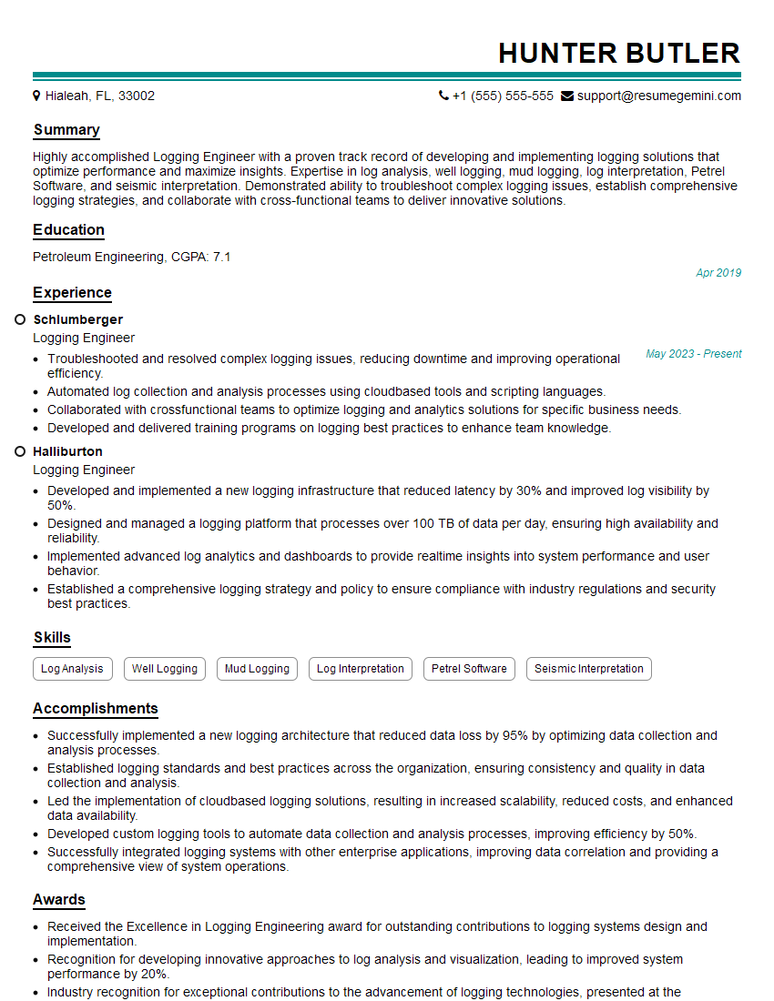
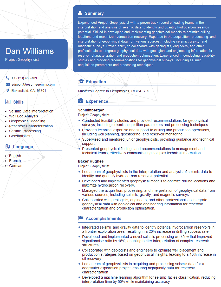
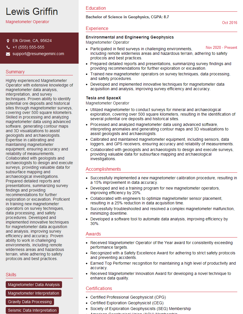
Mastering Geophysical Equipment Operation opens doors to a rewarding career with diverse opportunities for growth and specialization. To maximize your job prospects, creating a strong, ATS-friendly resume is crucial. ResumeGemini is a trusted resource that can help you build a professional resume that highlights your skills and experience effectively. Examples of resumes tailored to Geophysical Equipment Operation are available to guide you, ensuring your application stands out from the competition. Invest time in crafting a compelling resume – it’s your first impression on potential employers.
Explore more articles
Users Rating of Our Blogs
Share Your Experience
We value your feedback! Please rate our content and share your thoughts (optional).
