Cracking a skill-specific interview, like one for Basic Marine Navigation, requires understanding the nuances of the role. In this blog, we present the questions you’re most likely to encounter, along with insights into how to answer them effectively. Let’s ensure you’re ready to make a strong impression.
Questions Asked in Basic Marine Navigation Interview
Q 1. Explain the difference between true north, magnetic north, and compass north.
Understanding the difference between true north, magnetic north, and compass north is fundamental to accurate navigation. Imagine Earth as a giant magnet; its magnetic field points roughly towards the geographic North Pole, but not exactly. This is true north, the direction towards the geographic North Pole.
Magnetic north is the direction a compass needle points, which is influenced by the Earth’s magnetic field. Because the magnetic field isn’t perfectly aligned with the geographic poles, magnetic north varies over time and is located in a different place than true north. The difference between true north and magnetic north is called magnetic variation or magnetic declination and is shown on nautical charts.
Compass north is the direction indicated by your compass, which is affected by both magnetic variation and compass deviation. Deviation is caused by local magnetic interference within your vessel (e.g., metal in the hull or equipment). Therefore, to get true north from your compass reading, you have to correct for both variation and deviation.
For example: Let’s say your compass shows 350° magnetic. The chart shows a magnetic variation of 10° East. Therefore, the magnetic bearing is 350° + 10° = 360° or 000°. If your compass deviation is 2° West, you have to subtract it. The True Bearing will be 000° – 2° = 358°.
Q 2. Describe the process of taking a celestial navigation sight.
Taking a celestial sight involves measuring the altitude of a celestial body (sun, moon, star) above the horizon using a sextant and noting the precise time. This seemingly simple act provides critical navigational information. The process is as follows:
- Identify the celestial body: Ensure you have accurately identified the celestial body using a nautical almanac or similar publication.
- Measure the altitude: Carefully use the sextant to measure the apparent altitude of the celestial body above the horizon. This requires a steady hand and practice to minimize errors.
- Note the time: Record the precise time of the observation using a chronometer or a highly accurate clock, ideally to the nearest second. This is crucial for accurate calculations.
- Apply corrections: Several corrections must be applied to the observed altitude to account for factors such as index error of the sextant, dip of the horizon (due to the observer’s height above sea level), refraction (bending of light), parallax (apparent shift in position due to the observer’s location). These corrections are found in nautical tables or can be calculated.
- Calculate the LHA (Local Hour Angle): Using the Greenwich Hour Angle (GHA) from the nautical almanac and the longitude of the observer, the Local Hour Angle is calculated.
- Use sight reduction tables or software: With the corrected altitude, the LHA, and declination (from the nautical almanac), you can use sight reduction tables or navigational software to calculate your latitude and longitude (a Line of Position).
- Plot the LOP (Line of Position): Plot the calculated line of position on your chart.
By taking at least two sights on different celestial bodies, or by taking one sight and using a reliable estimate for your position, you can find your fix (your location).
Q 3. How do you correct for compass deviation?
Compass deviation arises from the magnetic fields created by ferrous metals within the vessel. Correcting for it is essential for accurate navigation. This is done using a process called compass deviation correction. The deviation varies depending on the compass heading.
The most common method is to swing the compass. This involves:
- Swinging the compass: The vessel is rotated through 360 degrees at various known compass headings, and the magnetic bearing of a fixed landmark is taken at each heading.
- Calculating Deviation: Using the known magnetic bearing (obtained from a chart or other reliable sources) and the observed compass bearing at each heading, the deviation is calculated for each point of the compass.
- Deviation Table: The deviations are recorded in a deviation table, showing the deviation for each heading.
- Applying the correction: During navigation, the compass reading is corrected by adding or subtracting the deviation from the table, according to the vessel’s heading.
Alternatively, some vessels use a compensating system of magnets and soft iron to minimize the deviation. It’s worth noting that even after correction, small errors remain, and regular compass checks are vital.
Q 4. What are the different types of charts used in marine navigation?
Mariners use various charts tailored to different navigational needs. Some of the most common types are:
- Nautical Charts: These are the most fundamental charts, providing detailed information on coastlines, depths, hazards, aids to navigation, and other navigational features. They are crucial for coastal navigation.
- Electronic Charts (ECDIS): These are digital versions of nautical charts, offering many advantages including integration with other navigational systems (GPS, radar, etc.). ECDIS is increasingly becoming the standard in modern navigation.
- Gnomonic Charts: These charts are used for long-range navigation. They show great circles as straight lines.
- Mercator Charts: These are cylindrical projections, useful for representing rhumb lines (lines of constant bearing) as straight lines. While useful for plotting courses, they distort the distance and area, particularly near the poles.
- Polar Charts: These are used for navigation in polar regions. They show the North or South Pole as the center.
The choice of chart depends on the intended voyage and the vessel’s capabilities.
Q 5. Explain the concept of GPS and its limitations in marine navigation.
GPS (Global Positioning System) is a satellite-based radionavigation system that provides highly accurate positioning data worldwide. In marine navigation, GPS receivers determine the vessel’s latitude, longitude, and speed. However, it is important to be aware of the limitations:
- Signal Blocking: GPS signals can be blocked by obstacles such as high land, buildings, or even dense foliage. This is particularly problematic in enclosed waters or near coastal areas with high relief.
- Multipath Errors: Signals bouncing off surfaces like water or buildings can create inaccuracies in the position reading.
- Satellite Availability: The number of visible satellites can vary depending on location and atmospheric conditions, which can affect precision. Having fewer satellites available leads to a less accurate positioning.
Therefore, while GPS is a vital navigational tool, it shouldn’t be solely relied upon. It’s best used in conjunction with other navigational methods, such as traditional methods (celestial navigation, piloting), to provide redundancy and improve safety.
Q 6. How do you use a sextant?
A sextant is a precision instrument used to measure the angle between two points, primarily the angular altitude of a celestial body above the horizon for celestial navigation. Its use requires practice and precision:
- Hold the sextant correctly: The sextant is held so that the line of sight aligns horizontally.
- Adjust the index arm: The index arm is moved to bring the horizon into view in the horizon glass.
- Acquire the object: Move the index arm until the image of the celestial body (sun, moon, star) overlaps the horizon.
- Read the angle: The angle is read from the vernier scale on the sextant. This angle is the altitude of the celestial body.
- Apply corrections: Remember to apply corrections for index error (a small calibration adjustment), dip of the horizon, and atmospheric refraction before using the altitude to determine position.
Proper sextant usage involves understanding the instrument’s mechanics and mastering the technique for accurate observations. Each step requires precision to ensure accuracy in navigational calculations.
Q 7. Describe the process of calculating a fix using GPS and visual bearings.
Calculating a fix using GPS and visual bearings combines the precision of GPS with the independent verification of visual bearings, providing a robust navigational solution. Here’s how:
- Obtain GPS Position: Record the latitude and longitude from your GPS receiver.
- Take Visual Bearings: Take bearings (angles measured with a compass) to at least two well-defined landmarks or navigational aids (e.g., buoys, lighthouses). Ensure that you are using the corrected bearing, accounting for compass deviation and magnetic variation.
- Plot GPS Position: Plot the GPS position on your chart.
- Plot Bearings: From the GPS position, draw lines representing the bearings taken (usually using a parallel rule or plotter). Remember to account for compass deviation and variation when plotting the bearing line.
- Compare to GPS: Compare the position calculated by visual bearings to the GPS position. If there is a significant discrepancy, investigate the possible causes of error.
This combination method provides cross-checking, which is critical for safety and reduces the risk of navigational errors stemming from a single source. Any significant difference should prompt a careful re-examination of all data and readings.
Q 8. What are the different types of navigational aids?
Navigational aids are crucial for safe and efficient vessel operation. They provide information about position, hazards, and safe water routes. These aids can be broadly categorized into:
- Lateral Marks: These guide vessels through channels and fairways. Examples include buoys and beacons, marked with colors (red and green) and shapes (can, nun, etc.) to indicate port and starboard sides. Imagine them as road signs guiding you through a waterway.
- Cardinal Marks: These indicate the direction of safe water relative to a hazard, such as a rock or shoal. They are painted in black and yellow and have distinctive shapes and topmarks. They’ll tell you which direction to avoid a danger.
- Isolated Danger Marks: These mark a single, isolated hazard, often a submerged rock or wreck. They are typically black with a single yellow band.
- Safe Water Marks: These mark safe water, often in a channel or fairway. They are generally white or red and white.
- Light Beacons and Lighthouses: These provide visible signals, particularly at night and in poor visibility. Each has its unique characteristic light pattern (flashing, occulting etc.), helping to identify them.
- Electronic Aids: This includes GPS, radar, and electronic charts, providing precise positioning, range information, and detailed chart data. These are essential in modern navigation.
Understanding the different types of navigational aids and their meanings is fundamental to safe navigation. Incorrect interpretation can lead to collisions or grounding.
Q 9. Explain the principles of dead reckoning.
Dead reckoning (DR) is a method of estimating a vessel’s position by using its last known position, course, speed, and time. It’s like following a map by tracing your route, knowing your initial starting point and the direction and speed you’re moving. However, DR is susceptible to errors and requires constant monitoring and correction.
Principles: The basic principle is simple:
- Knowing your starting point: This is your initial position, obtained through GPS, visual bearings, or other means.
- Measuring your course: This is the direction you are sailing, typically measured with a compass.
- Determining your speed: This can be measured using a log, GPS, or other speed-measuring instruments.
- Calculating the distance traveled: Speed multiplied by time gives the distance traveled.
- Plotting your estimated position: Using a chart and protractor, the distance and course are plotted from your known starting point to obtain the estimated position.
Limitations: DR doesn’t account for currents, winds, or other factors that may affect the vessel’s actual track. These can introduce significant errors over time. It’s essential to cross-check DR with other navigational methods (e.g., GPS, visual bearings) to ensure accuracy.
Example: If a vessel starts at a known point, sails a course of 090° (East) at a speed of 10 knots for 2 hours, its estimated position will be 20 nautical miles (10 knots x 2 hours) to the East of its initial position. However, a strong current might push it further, leading to an error.
Q 10. How do you interpret a tide table?
Tide tables provide information about the predicted times and heights of high and low tides at specific locations. They’re crucial for safe navigation, particularly in shallow waters.
Interpretation: A typical tide table lists the times and heights of high and low waters for each day. For example:
Date | High Water | Low Water --------- | -------- | -------- Oct 26 | 03:00 (3.5m)| 09:30 (0.5m) Oct 27 | 03:45 (3.7m)| 10:15 (0.3m) This snippet shows the predicted times and heights of high and low tides for two days. The numbers represent the height above chart datum (a reference level used in charts).
Practical Application: Navigators use tide tables to:
- Plan navigation: Ensuring sufficient water depth at certain times to safely transit shallow channels.
- Calculate tidal currents: The speed and direction of tidal currents are related to the tide’s height, influencing the vessel’s course and speed.
- Avoid grounding: Knowing the water depth and tide level helps prevent grounding on submerged obstacles, rocks or shallow areas.
Tide tables are essential for navigating coastal waters and estuaries. Misinterpretation may result in a grounding or collision.
Q 11. What are the rules of the road (COLREGs)?
The International Regulations for Preventing Collisions at Sea (COLREGs) are a set of rules that govern the safe passage of vessels at sea. Think of them as the ‘rules of the road’ for ships. They prioritize safety by establishing standards for navigation lights, shapes, sound signals, and the actions to be taken in various situations to avoid collisions.
Key aspects:
- Navigation Lights and Shapes: Vessels display specific lights and shapes (day shapes) to indicate their type, direction, and status. Failure to comply can have serious consequences.
- Rules for Meeting and Overtaking: Specific rules dictate the actions vessels must take when meeting head-on, crossing, or overtaking each other. The priority is given to vessels to starboard and to overtaking vessel giving way to the vessel being overtaken.
- Sound Signals: Vessels use sound signals to warn of their presence and actions, especially in reduced visibility. The number of blasts from a horn or whistle carries a specific meaning.
- Restricted Visibility: Special rules apply in conditions of restricted visibility (fog, heavy rain, etc.), such as reducing speed, using fog signals, and maintaining a proper lookout.
- Narrow Channels: Vessels must follow specified rules for navigating narrow channels and fairways to avoid collisions.
Knowledge of COLREGs is essential for all mariners. Non-compliance can result in collisions and legal consequences.
Q 12. Explain the importance of maintaining a proper logbook.
A properly maintained logbook is a crucial record of a vessel’s voyage, documenting essential information for safety, legal compliance, and future reference. It’s the detailed diary of the vessel’s journey.
Importance:
- Safety: The logbook serves as a valuable tool in accident investigations, tracing events and actions leading to incidents. It can even help saving lives.
- Legal Compliance: Many regulations require detailed records of the voyage, including positions, speeds, events, and crew activities. This becomes important in case of any legal proceedings or audit.
- Operational Efficiency: A good logbook tracks maintenance, repairs, fuel consumption, and cargo handling, allowing for informed decision-making and improvements.
- Historical Record: The logbook provides a comprehensive historical record of the vessel’s operations, useful for analysis, training, and future planning.
Essential Entries: A well-maintained logbook includes entries on:
- Position reports at regular intervals: Using GPS, DR or other means.
- Course, speed, and heading changes.
- Weather conditions.
- Maintenance and repairs.
- Cargo operations.
- Any significant events or incidents.
- Crew changes.
Maintaining an accurate and complete logbook is a critical responsibility for all mariners.
Q 13. How do you determine the speed of a vessel using different methods?
Determining a vessel’s speed involves several methods, each with its strengths and limitations.
Methods:
- Log: Traditional logs measure speed by counting revolutions of a propeller or towed device. These are mechanical devices which are increasingly being replaced by electronic versions. They are prone to errors from fouling or slipping, so a calibration is important.
- GPS: The Global Positioning System provides highly accurate speed measurements, but it requires a clear line of sight to satellites and the readings can be affected by atmospheric conditions and signal obstruction.
- Doppler Speed Log (DSL): This uses the Doppler effect to measure speed over the ground, regardless of currents, but it’s less accurate in shallow water.
- Pitot Tube: This measures the dynamic pressure of the water flowing past the hull, providing speed relative to the water, this value needs to be corrected by current and other factors.
- Echo Sounder: In conjunction with a GPS position fix, this can be used to estimate speed by measuring the change in water depth over a period of time.
Choosing the right method: The best method depends on the accuracy needed, available equipment, and environmental conditions. GPS is widely used for its accuracy, but other methods might be useful in certain situations or as back-up.
Example: Imagine you have both GPS and a log. The GPS is usually considered the primary source of accurate speed information. Comparing the reading from the log with the GPS provides a way to check for potential discrepancies. This might indicate a need for log calibration.
Q 14. What are the safety precautions when using electronic navigation systems?
Electronic navigation systems significantly enhance safety and efficiency but require careful handling and attention to safety precautions. A failure in this critical systems can lead to severe consequences. The user should be prepared for a failure.
Precautions:
- Regular Maintenance: Regular maintenance, including software updates, ensures accurate and reliable operation. The equipment must also be properly calibrated according to the manufacturer’s instructions.
- Backup Systems: Always have backup systems, such as paper charts and traditional navigational instruments, in case of electronic failure. This is critical in case of system failure.
- Power Supply: Ensure reliable power supply. Failure to do so can lead to a complete loss of all electronic navigational capabilities.
- Understanding Limitations: Be aware of the limitations of electronic systems. They may be affected by interference, atmospheric conditions, or malfunctions. Always cross-reference with other navigational aids.
- Proper Training: Adequate training is crucial to ensure proper operation and interpretation of data. Users need to understand the limitations and the capabilities of the system.
- Data Verification: Always verify data displayed on electronic systems against other sources, such as visual landmarks, paper charts, and other electronic systems. It is important to ensure that the information that you are relying on is accurate.
- Watchkeeping: Maintain proper watchkeeping procedures, including regular checks of the system’s status and data validity.
Electronic systems are powerful tools but should never replace seamanship and traditional navigation skills. A prudent mariner will always have a backup plan in place.
Q 15. Describe the procedure for making a distress call.
Making a distress call is crucial in a maritime emergency. The procedure involves using the internationally recognized distress signal, MAYDAY, followed by your vessel’s identity, your location, nature of the emergency, and the assistance needed. This should be transmitted repeatedly on the VHF radio, channel 16 initially, then switching to the working channel agreed upon with the rescue authorities.
- MAYDAY: This is the internationally recognized distress signal, indicating immediate danger to life or property.
- Vessel Identity: Clearly state your vessel’s name and call sign.
- Location: Provide precise location coordinates (latitude and longitude), if possible, or using easily identifiable landmarks.
- Nature of Emergency: Briefly describe the emergency (e.g., fire, collision, flooding, medical emergency).
- Assistance Needed: Specify the type of assistance needed (e.g., medical evacuation, towing, firefighting).
- Transmission: Repeat the message until acknowledged by the authorities. Use appropriate VHF radio procedures, including the use of the word ‘over’ to indicate the end of a transmission and invite a response.
For example, a distress call might sound like this: ‘MAYDAY, MAYDAY, MAYDAY. This is sailing vessel ‘Seabreeze’, call sign ABC1234, position 34°15’N 077°30’W, experiencing engine failure and taking on water. Requesting immediate assistance. Over.’
Career Expert Tips:
- Ace those interviews! Prepare effectively by reviewing the Top 50 Most Common Interview Questions on ResumeGemini.
- Navigate your job search with confidence! Explore a wide range of Career Tips on ResumeGemini. Learn about common challenges and recommendations to overcome them.
- Craft the perfect resume! Master the Art of Resume Writing with ResumeGemini’s guide. Showcase your unique qualifications and achievements effectively.
- Don’t miss out on holiday savings! Build your dream resume with ResumeGemini’s ATS optimized templates.
Q 16. How do you handle a navigational emergency?
Navigational emergencies require quick thinking and decisive action. The priority is always safety of life and the vessel. The initial response involves assessing the situation, implementing immediate safety measures, and initiating appropriate communications.
- Assessment: Quickly identify the nature of the emergency (e.g., collision course, grounding, loss of navigation equipment).
- Safety Measures: Take immediate actions to mitigate the risk. This might involve reducing speed, changing course, deploying life rafts, or sounding the general alarm.
- Communication: Issue a distress call (MAYDAY if necessary) and contact other vessels and/or the coastguard.
- Navigation Backup: If electronic navigation systems fail, revert to backup systems such as paper charts, sextant, compass, and other traditional methods to determine the vessel’s position and plot a safe course.
- Damage Control: If there’s physical damage, initiate damage control procedures to contain the problem and prevent further deterioration.
Example: Imagine a collision course with another vessel. You would immediately take evasive action (hard-a-starboard or hard-a-port depending on the circumstances), sound warning signals (blasts on the horn), and notify the other vessel and the coastguard of the situation. Post-incident, gather all relevant information to assist in any ensuing investigation.
Q 17. What is a parallel rule and how is it used?
A parallel rule is a navigational tool used to measure distances and draw parallel lines on a chart. It consists of two rulers connected by a sliding bar, allowing one ruler to remain fixed while the other moves parallel to it. Think of it as a mini-parallel line drawing machine for charts.
It’s used for several crucial tasks:
- Measuring Distances: Place one edge of the parallel rule along the starting point and the other edge along the endpoint to directly read the distance between the two points.
- Drawing Parallel Lines: To draw lines parallel to a given line on the chart, simply place one edge of the parallel rule along the given line and slide the other edge to the desired location. This is incredibly useful for plotting courses, transferring bearings, or constructing parallel lines of position.
- Transferring Bearings: By aligning the parallel rule to a bearing line on the chart and then shifting it, one can transfer that same bearing to a different location on the chart.
For instance, if you want to measure the distance between your position and a navigational buoy, you would use the parallel rule to measure the distance along the chart’s scale.
Q 18. Explain the concept of magnetic variation.
Magnetic variation (or magnetic declination) is the angle between magnetic north (the direction your compass points) and true north (the actual geographic North Pole). This angle varies depending on location and time due to the Earth’s magnetic field, which isn’t perfectly aligned with the Earth’s rotational axis.
Understanding magnetic variation is crucial because your compass indicates magnetic north, not true north. To determine your true bearing, you must correct your compass bearing for variation. This correction is often found on charts, shown as an isogonic line (line of equal magnetic variation) or stated in the chart’s legend. The variation is either ‘East’ (add to compass bearing) or ‘West’ (subtract from compass bearing).
For example, if your compass bearing is 090° and the variation is 10° East, the true bearing would be 100° (090° + 10°). If the variation is 5° West, the true bearing would be 085° (090° – 5°).
Q 19. How do you calculate course and distance between two points on a chart?
Calculating course and distance between two points on a chart involves using a plotting tool and the chart’s scale. The most common method involves a pair of dividers or a parallel rule, combined with the chart’s scale.
- Measure the Distance: Use dividers or a parallel rule to measure the straight-line distance between the two points on the chart.
- Convert to Nautical Miles: Use the chart’s scale to convert the measured distance on the chart to nautical miles. Most charts display the scale clearly.
- Determine the Course: Draw a line connecting the two points. Using a parallel rule, align it with the line and read the course from the compass rose printed on the chart. This gives you the true course.
- Account for Variation and Deviation: Remember to correct this for magnetic variation and compass deviation (error due to the compass itself) to find your compass course which you will steer by.
Example: Let’s say you measure 3 inches between two points on a chart with a scale of 1:100,000. This translates to 300,000 inches. Convert this to nautical miles (6076.12 feet = 1 nautical mile and 12 inches per foot), you would get the distance in nautical miles. If the line you drew indicates a bearing of 120° true on the compass rose, and the variation is 5°E, then you would steer a magnetic course of 115°.
Q 20. Describe the different types of electronic charts (ECDIS).
Electronic Chart Display and Information Systems (ECDIS) come in various types, primarily categorized by their functionality and certification:
- Type Approved ECDIS: These meet international standards (IMO) and are fully compliant with regulations for use as the primary means of navigation. They offer safety features like route monitoring, alarm systems, and display of essential navigational information.
- Non-Type Approved ECDIS: These systems don’t meet all the standards for primary navigation but still offer electronic charting capabilities. They often lack features that Type Approved ECDIS has. They shouldn’t be used as the sole means of navigation.
- ECS (Electronic Chart System): ECS is not a true ECDIS; they display charts electronically, but lack the safety features and functionalities of a Type Approved ECDIS.
Regardless of the type, ECDIS systems use various raster and vector chart formats (S-57 being a common standard) providing a wide range of navigational data such as bathymetry, aids to navigation, and safety information. The key difference lies in the level of regulatory compliance and features that enhance safety and navigation.
Q 21. Explain the concept of a nautical mile and knot.
A nautical mile (NM) is a unit of distance used in marine and aviation navigation. It’s approximately 1.15 statute miles (1852 meters). It’s based on the circumference of the Earth, making it useful for calculations on a spherical surface.
A knot is a unit of speed, equal to one nautical mile per hour. So, if a vessel is traveling at 10 knots, it’s covering 10 nautical miles every hour. Think of it like ‘miles per hour’ but for nautical distances.
Example: A ship traveling at 15 knots will cover 15 nautical miles in one hour. This is a common unit of speed used in nautical contexts to represent speed through the water (SOG) or over ground (COG). The two are different because of currents.
Q 22. What are the different methods for determining position?
Determining a vessel’s position at sea is crucial for safe navigation. Several methods exist, each with its strengths and weaknesses. They can be broadly categorized into celestial navigation, electronic navigation, and visual navigation.
- Celestial Navigation: This traditional method uses the positions of celestial bodies (sun, moon, stars) to calculate latitude and longitude. It requires a sextant, nautical almanac, and a chronometer. While accurate, it’s time-consuming and relies on clear skies.
- Electronic Navigation: This is the most common method today, relying on GPS (Global Positioning System), GNSS (Global Navigation Satellite Systems), and other electronic aids. GPS provides highly accurate position fixes almost instantly, but can be susceptible to interference or signal blockage.
- Visual Navigation: This involves using landmarks, buoys, and other visual aids to determine position. It’s crucial in coastal waters and harbors, often used in conjunction with charts and compass bearings. For instance, identifying a known lighthouse and taking its bearing can help pinpoint the vessel’s position.
- Other Methods: Other methods such as radar and depth sounders can also assist in position fixing. Radar provides a visual representation of surrounding objects, while depth sounders provide information about the water depth, aiding in avoiding shallow waters or potential hazards.
In practice, mariners often use a combination of these methods for redundancy and increased accuracy, especially in challenging conditions.
Q 23. What are the limitations of radar?
Radar, while a powerful navigational tool, has limitations. Its effectiveness depends on various factors:
- Range limitations: Radar’s range is limited by the power of the transmitter and the size of the target. Smaller objects at a greater distance might not be detected.
- Clutter and interference: Sea clutter (waves and rain) and interference from other radar signals can obscure targets or lead to false echoes. This is particularly problematic in heavy weather.
- Target identification: Radar only shows the distance and bearing of a target, not its nature. Discerning between a small boat and a large rock requires careful interpretation and additional information.
- Blind spots: Radar has blind spots, particularly directly behind the antenna, where objects can’t be detected.
- Atmospheric conditions: Fog, heavy rain, or snow can significantly reduce radar’s effectiveness.
Therefore, radar should be used in conjunction with other navigational aids, like GPS and visual observations, for a comprehensive understanding of the surrounding environment. Over-reliance on radar can lead to dangerous situations.
Q 24. How do you interpret weather forecasts and warnings?
Interpreting weather forecasts and warnings requires careful attention to detail and an understanding of meteorological terminology. Here’s a breakdown:
- Source Reliability: Prioritize official forecasts from meteorological agencies (e.g., National Weather Service). Be wary of unofficial sources.
- Forecast Components: Pay attention to wind speed and direction, wave height, visibility, precipitation type and amount, air pressure, and significant weather phenomena (e.g., storms, fog banks). Understand the units used (knots for wind speed, meters for wave height).
- Warnings and Advisories: Warnings are issued for imminent hazardous conditions requiring immediate action. Advisories indicate potential hazards requiring attention. Understand the severity levels and respond accordingly (e.g., altering course, seeking shelter).
- Charting Weather Information: Utilize weather charts and overlays to visually represent the predicted weather pattern, enabling better spatial understanding and decision-making.
- Forecasting models and limitations: Understand that forecasts are not perfect predictions but rather probabilities based on current data. Be prepared for variations from the forecast.
Example: A gale warning with strong winds and high seas necessitates seeking safe harbor or adjusting the course to minimize exposure to harsh conditions. Ignoring such warnings can be disastrous.
Q 25. Describe the process of entering and leaving a port.
Entering and leaving a port involves a structured approach prioritizing safety and adherence to local regulations:
- Pre-Arrival Planning: Obtain relevant navigational charts, pilot books, and port information. Check tide predictions and expected currents. Plan the route in advance, considering the vessel’s draft and dimensions.
- Approaching the Port: Maintain a safe speed and prudent lookout. Monitor radio traffic for port control instructions. Follow designated traffic separation schemes and recommended routes.
- Contacting Port Authorities: Make contact with port control well in advance to announce arrival, obtain permission to enter, and request pilotage if necessary.
- Docking Procedures: Follow instructions from port control and harbor masters. Use fenders and lines effectively to prevent damage to the vessel and the dock.
- Departure Procedures: Inform port control of departure time and intended route. Confirm clearance from the port. Follow departure procedures as outlined in port regulations.
- Post-Departure Navigation: Ensure safe navigation after leaving the port, taking into account prevailing weather conditions and traffic.
Each port has unique regulations and procedures; consulting official sources is essential to avoid accidents.
Q 26. Explain the concept of tidal currents and their effect on navigation.
Tidal currents are the horizontal movement of water caused by the rise and fall of tides. They can significantly impact navigation, particularly in coastal areas and narrow channels.
- Types of Tidal Currents: These include flood currents (water moving towards land) and ebb currents (water moving away from land). The strength of these currents varies throughout the tidal cycle, reaching maximum velocity around mid-tide.
- Effect on Navigation: Strong currents can increase or decrease the vessel’s speed over ground, impacting arrival times and fuel consumption. They can also make maneuvering challenging, particularly in restricted waterways. Failing to account for currents can lead to grounding or collisions.
- Predicting Tidal Currents: Tidal current predictions are available from tidal charts and online resources. These predictions usually provide the speed and direction of the current at specific times and locations.
- Navigational Strategies: To navigate safely in strong currents, plan the voyage considering the predicted currents, allow extra time for arrival, and adjust the vessel’s course and speed to compensate for current effects.
For example, a vessel attempting to navigate a narrow channel against a strong ebb current might require significant power and precise maneuvering to avoid being pushed off course. Proper planning, accounting for the current, is essential for safe passage.
Q 27. What are the different types of buoys and their meanings?
Buoys are floating markers used to indicate navigable waters, hazards, and other important information. Different types of buoys have distinct shapes, colors, and markings. The International Association of Marine Aids to Navigation and Lighthouse Authorities (IALA) system is used worldwide.
- Lateral Buoys: These mark the edges of a channel. In IALA Region A (used in most of the world, except for some areas), red buoys are placed to port (left) when entering from seaward, and green buoys are placed to starboard (right). The opposite applies in IALA Region B (primarily used in the US and some Asian countries).
- Cardinal Buoys: These indicate a hazard’s position relative to the compass: North (black, with a cone top), South (black, with a cone bottom), East (black, with a band of yellow), and West (black, with a band of yellow).
- Isolated Danger Buoys: These mark an isolated danger such as a rock or shoal, generally have black and yellow horizontal bands.
- Safe Water Buoys: These mark a safe water area, usually cylindrical and green with a single green light.
- Special Purpose Buoys: These mark specific locations or serve special functions, and their appearance may vary.
It is critical to understand the IALA system applicable to the region you are navigating to interpret buoy meanings correctly and avoid hazardous situations.
Q 28. What are your experiences using different navigational software and applications?
Throughout my career, I’ve extensively used various navigational software and applications. My experience spans both dedicated chart plotters and mobile applications.
- Chart Plotters: I’m proficient in using Raymarine, Garmin, and Furuno chart plotters. These systems provide detailed charts, GPS integration, route planning capabilities, and other navigational tools. I’ve used them for route planning, monitoring vessel position, and setting alarms for various navigational parameters.
- Mobile Applications: I have experience using Navionics, ActiveCaptain, and other mobile apps for charting, weather information, and GPS tracking. These apps offer convenient access to navigational data, especially useful for pre-planning and quick reference on smaller vessels or in situations without a dedicated plotter.
- Electronic Chart Display and Information Systems (ECDIS): I’m familiar with ECDIS systems which offer advanced features for safe navigation, including route planning, integration with other navigation sensors, and compliance with regulations.
The choice of software depends on the specific needs and the vessel type. A larger vessel might necessitate a sophisticated integrated system, whereas a smaller boat may be suitable with a more basic setup. The key is proficiency in using the selected tool and integrating it with other navigational aids to create a layered approach for safety.
Key Topics to Learn for Basic Marine Navigation Interview
- Charts and Publications: Understanding chart symbols, nautical publications (like the Coast Pilot), and their practical application in route planning and safe navigation.
- Navigation Instruments: Familiarize yourself with the operation and limitations of compasses (magnetic and gyro), GPS, depth sounders, and other relevant navigational tools. Understand how to interpret their readings and account for potential errors.
- Position Fixing: Master various position fixing techniques, including GPS, visual bearings, and celestial navigation (if applicable to the specific role). Be prepared to discuss the accuracy and limitations of each method.
- Piloting and Seamanship: Demonstrate understanding of safe navigation practices, including collision avoidance rules (COLREGs), passage planning, and emergency procedures. Consider practical examples from your experience.
- Dead Reckoning: Explain the principles of dead reckoning and its role in navigation, particularly when other position fixing methods are unavailable or unreliable. Be ready to discuss its limitations.
- Course Plotting and Calculations: Be proficient in calculating courses, distances, and estimated times of arrival (ETAs) using various methods, including vector analysis and electronic charting systems.
- Tides and Currents: Understand the impact of tides and currents on navigation and how to incorporate this information into your passage planning. Be prepared to discuss different tidal prediction methods.
- Meteorology and Weather: Demonstrate a basic understanding of weather patterns, forecasting, and their impact on safe navigation. Knowing how to interpret weather reports and forecasts is crucial.
Next Steps
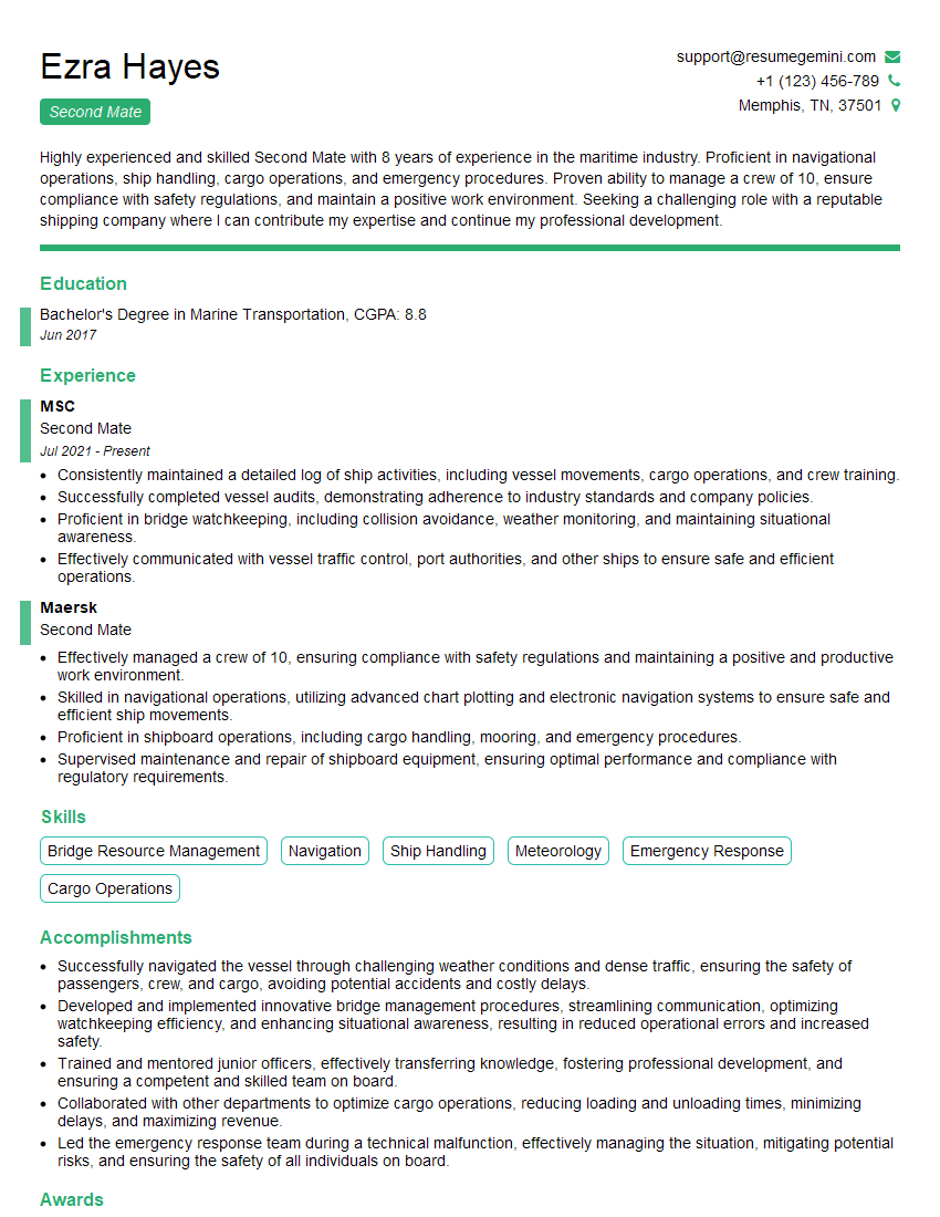
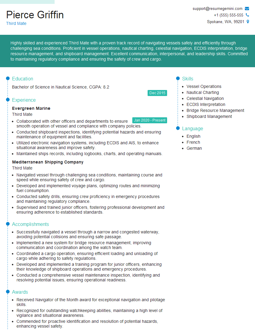
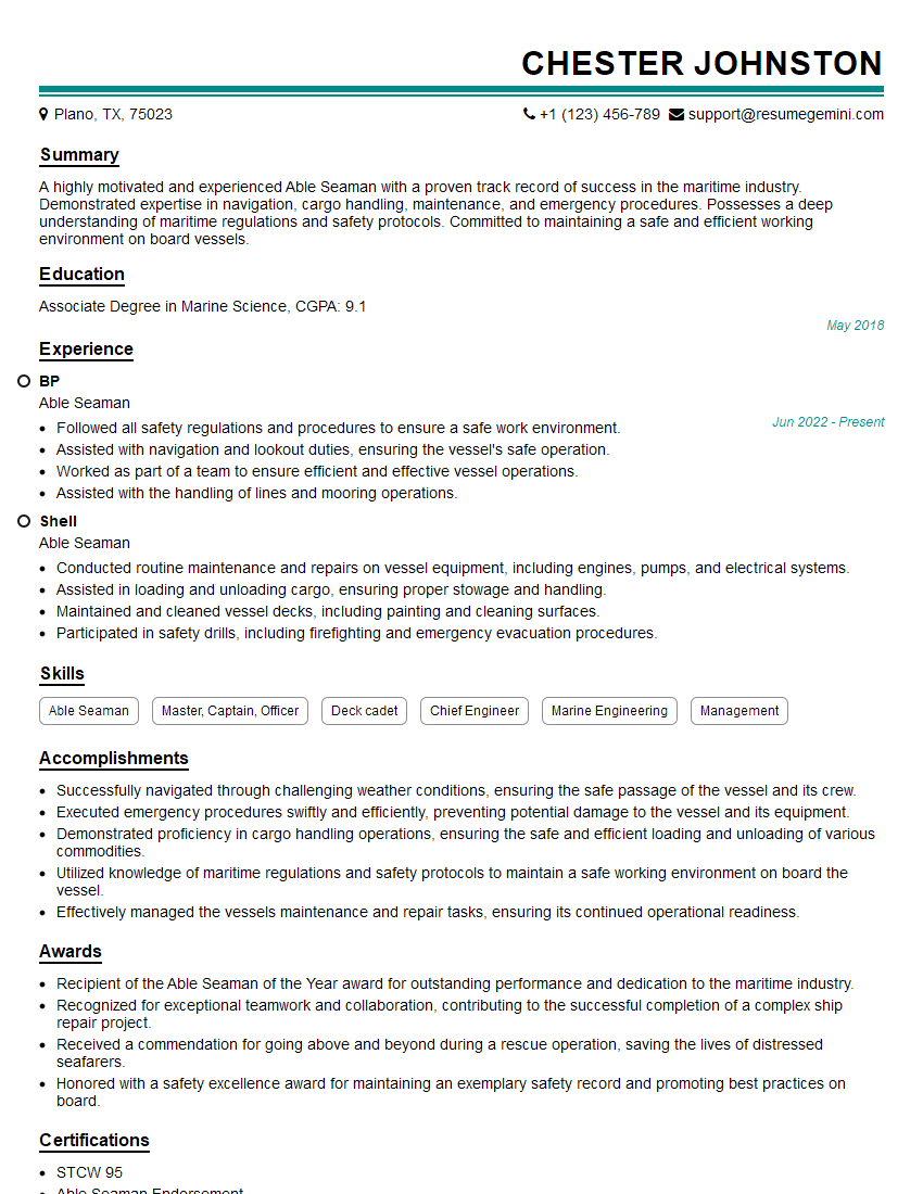
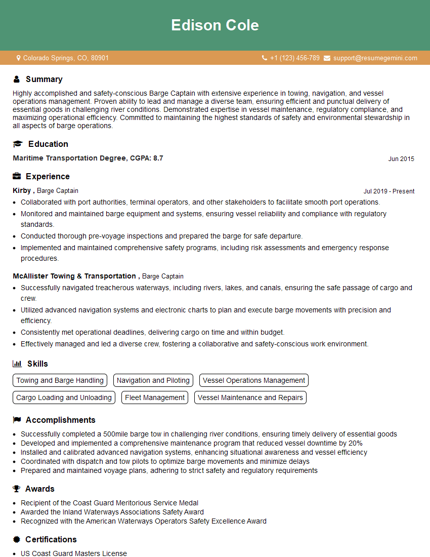
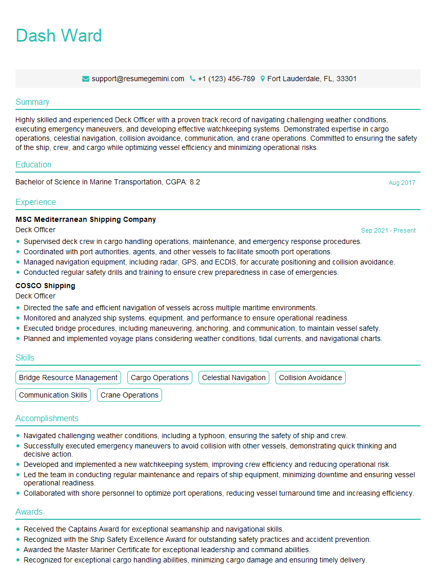
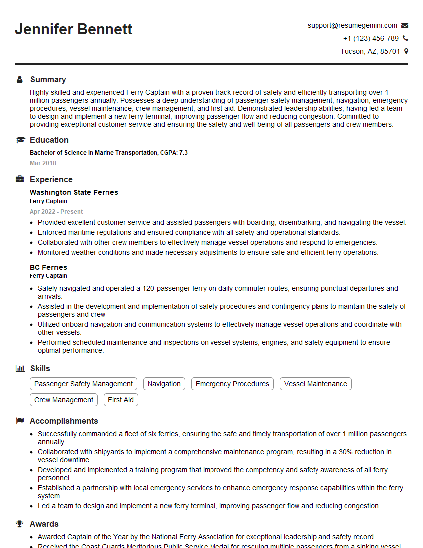
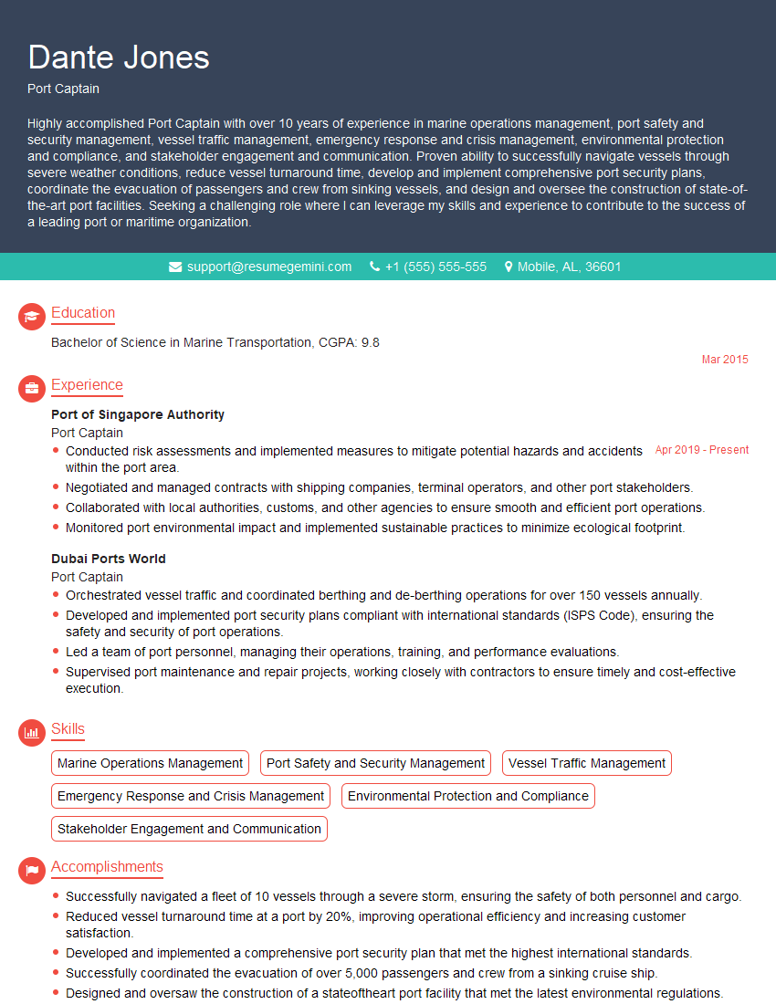
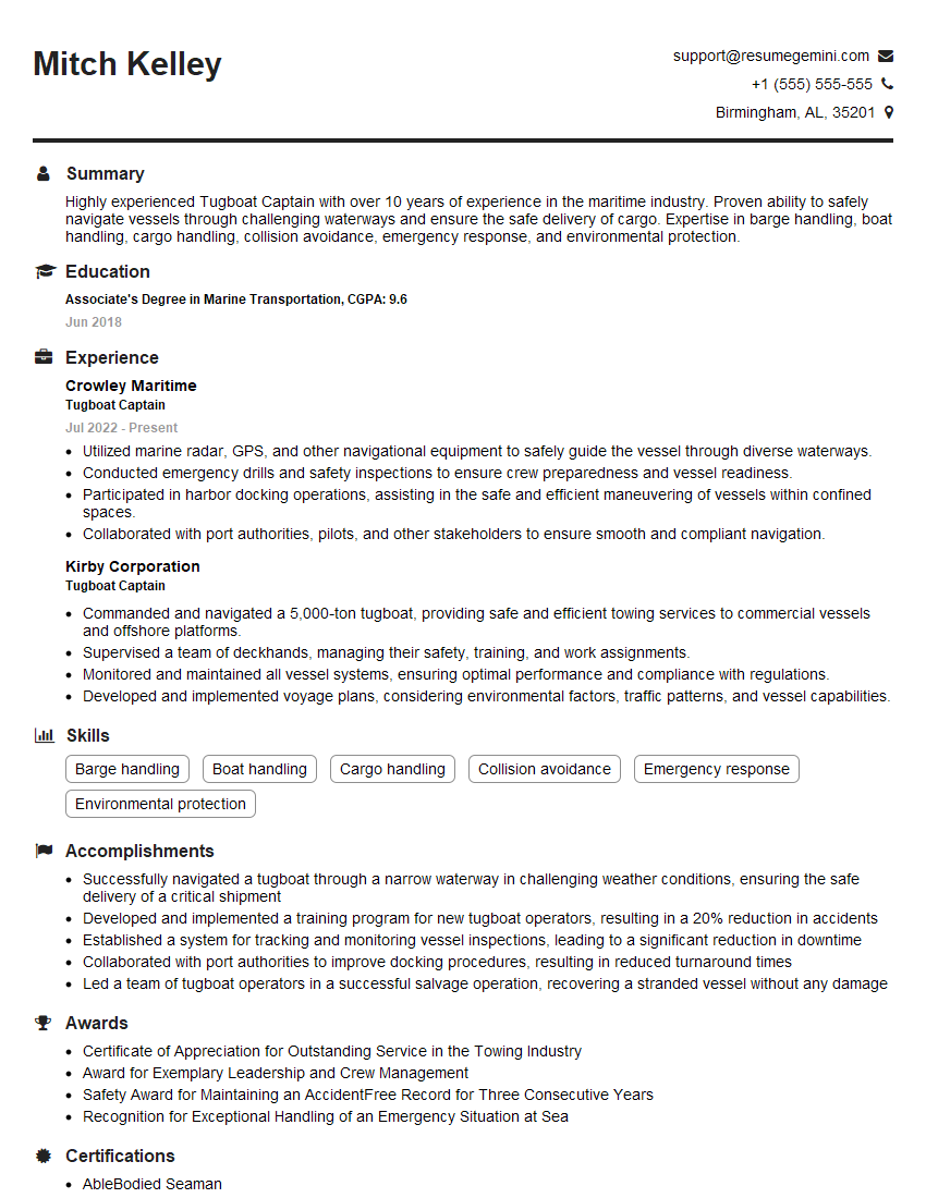
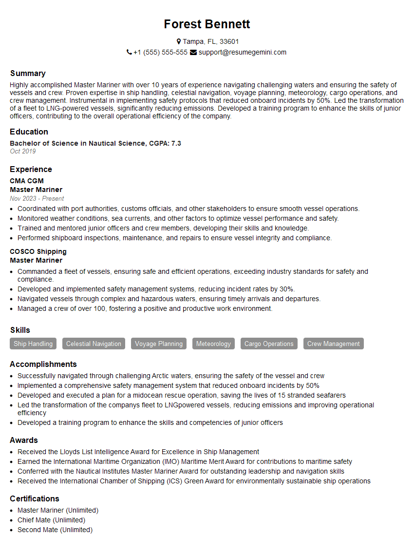
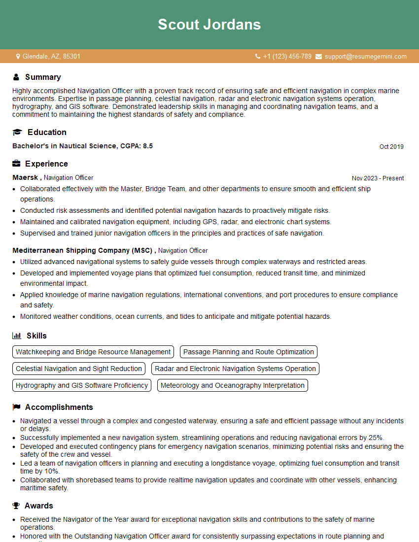
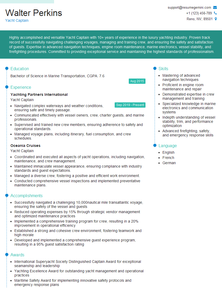
Mastering Basic Marine Navigation is crucial for career advancement in the maritime industry, opening doors to more challenging and rewarding roles. A strong resume is your key to unlocking these opportunities. Make sure your resume is ATS-friendly, highlighting your skills and experience effectively. ResumeGemini is a trusted resource to help you craft a professional and impactful resume that gets noticed. We provide examples of resumes tailored to Basic Marine Navigation to help you get started. Investing in a well-crafted resume will significantly enhance your job prospects.
Explore more articles
Users Rating of Our Blogs
Share Your Experience
We value your feedback! Please rate our content and share your thoughts (optional).
