Interviews are more than just a Q&A session—they’re a chance to prove your worth. This blog dives into essential Field Navigation interview questions and expert tips to help you align your answers with what hiring managers are looking for. Start preparing to shine!
Questions Asked in Field Navigation Interview
Q 1. Explain the difference between GPS, GLONASS, and Galileo.
GPS, GLONASS, and Galileo are all Global Navigation Satellite Systems (GNSS) that provide location and time information to receivers on Earth. However, they differ in their infrastructure and coverage.
- GPS (Global Positioning System): Developed by the United States, GPS utilizes a constellation of 24 satellites orbiting the Earth. It’s the most widely used GNSS globally.
- GLONASS (Globalnaya Navigatsionnaya Sputnikovaya Sistema): Russia’s GNSS, GLONASS, also consists of a constellation of satellites. It provides similar functionality to GPS but with potential advantages in certain regions due to its orbital configuration.
- Galileo: The European Union’s GNSS, Galileo, is designed to provide high-accuracy positioning, navigation, and timing services. It offers improved accuracy and reliability compared to GPS and GLONASS, particularly in urban environments.
The key difference lies in their ownership and management, resulting in varying levels of accuracy, availability, and signal characteristics. For instance, Galileo boasts a higher precision for civilian use compared to the standard GPS signal. Using multiple GNSS systems simultaneously (like GPS and Galileo) can improve the accuracy and reliability of positioning by combining signals from different satellite constellations, a technique known as multi-GNSS.
Q 2. Describe your experience with different map projections and their applications.
My experience encompasses a wide range of map projections, understanding their strengths and limitations is crucial for accurate field navigation. Different projections distort the Earth’s surface in various ways, impacting distance, area, and shape measurements.
- Mercator Projection: This cylindrical projection preserves angles, making it ideal for navigation as compass bearings remain accurate. However, it significantly distorts areas, particularly near the poles. I’ve used it extensively for maritime navigation and route planning where compass bearings are paramount.
- UTM (Universal Transverse Mercator): This projection divides the Earth into 60 zones, minimizing distortion within each zone. It’s very useful for large-scale mapping and surveying, particularly for land-based projects, as it provides relatively accurate measurements of distances and areas within each zone. I’ve relied on UTM extensively in cadastral surveys and resource mapping projects.
- Albers Equal-Area Conic Projection: This conic projection maintains area accuracy, making it suitable for mapping regional land areas and calculating surface areas of features accurately. It’s crucial for applications like environmental monitoring and resource assessment. In my forestry work, I often utilized this projection for measuring forest cover.
Choosing the right projection is critical and depends entirely on the specific application. For instance, a Mercator projection is great for navigation across oceans, while a UTM projection is more practical for local surveying purposes. Understanding the distortion characteristics of each projection is essential for interpreting map data accurately.
Q 3. How do you handle signal loss or interference during field navigation?
Signal loss and interference are common challenges in field navigation. My approach involves a multi-layered strategy:
- Redundancy: I always utilize multiple GNSS receivers, ideally incorporating different GNSS systems (GPS, GLONASS, Galileo) to mitigate the effects of signal blockage or interference from a single system. This redundancy increases the chances of maintaining a position fix.
- Differential GPS (DGPS) or RTK (Real-Time Kinematic) GPS: For high-accuracy applications, employing DGPS or RTK significantly improves accuracy by correcting errors in the raw GNSS signal. These systems often require a base station with a known, highly precise location.
- Augmentation Systems: Utilizing augmentation systems like WAAS (Wide Area Augmentation System) or EGNOS (European Geostationary Navigation Overlay Service) enhances the accuracy and reliability of GPS signals, especially in areas with challenging signal conditions.
- Fallback Navigation Methods: In case of complete signal loss, I always have backup navigation methods readily available, including paper maps, compasses, and altimeters. Knowing how to use these traditional methods is crucial.
- Data Logging and Post-Processing: All GNSS data is meticulously logged for post-processing. This allows for the detection and potential correction of errors, even if those errors were not immediately apparent in the field.
For example, during a recent survey in a heavily forested area, I experienced intermittent signal loss. My multi-GNSS receiver with RTK correction, in combination with detailed paper maps, allowed me to complete the survey with acceptable accuracy despite the challenging conditions.
Q 4. What are the key considerations when planning a route in challenging terrain?
Planning a route in challenging terrain requires careful consideration of multiple factors:
- Terrain Analysis: Detailed topographic maps and elevation data are essential to identify steep slopes, obstacles, and potential hazards like ravines or water crossings. Software like ArcGIS Pro allows for sophisticated terrain analysis.
- Weather Conditions: Weather forecasts are crucial. Extreme weather can make navigation extremely difficult and even dangerous. I always check weather forecasts before any field trip and plan accordingly.
- Accessibility: Evaluating the accessibility of different routes is vital. This includes considering the presence of trails, vegetation density, and potential obstacles. Using aerial imagery and satellite data helps identify pathways.
- Safety Considerations: Safety is paramount. This includes having appropriate safety gear (e.g., first-aid kit, emergency communication devices), informing others of the planned route, and understanding potential risks like wildlife encounters.
- Time Allocation: Realistic time estimations are critical, taking into account terrain difficulties and potential delays. Buffer time must be included in the schedule.
For instance, while planning a survey in mountainous terrain, I utilized elevation data and satellite imagery to identify the least steep ascent route, avoiding challenging terrain that might pose safety risks and slow down the team. This careful planning ensured efficient data collection while maintaining safety.
Q 5. How do you ensure accuracy in data collection during field surveys?
Ensuring data accuracy during field surveys is paramount. My approach involves:
- Calibration and Maintenance: Regular calibration and maintenance of all equipment, including GNSS receivers and other measuring instruments, are crucial for minimizing systematic errors.
- Data Validation: Implementing rigorous data validation procedures involves checking for outliers, inconsistencies, and errors during the data collection process. This often requires a combination of field checks and post-processing analysis.
- Multiple Measurements: Repeating measurements at each location helps identify and mitigate random errors. Averaging multiple measurements enhances the reliability of the data.
- Ground Control Points (GCPs): Using GCPs with known, highly accurate coordinates provides a means of verifying and correcting the positioning data collected during the survey. This is especially important in less-accurate GPS environments.
- Appropriate Methodology: Selecting appropriate surveying methods and techniques based on the specific task and environment is fundamental. This may involve using different techniques in different areas to account for the particular circumstances.
For example, during a recent topographic survey, the use of GCPs and repeated measurements allowed us to detect and correct a minor systematic error in the GNSS data, significantly improving the overall accuracy of the digital elevation model (DEM) produced.
Q 6. Explain your experience with using GIS software for navigation and data analysis.
My experience with GIS software, primarily ArcGIS, is extensive. I leverage its capabilities for various aspects of navigation and data analysis in field operations.
- Route Planning: ArcGIS allows for creating and analyzing routes considering terrain constraints, accessibility, and other relevant factors. It allows for optimization and visualization of planned routes.
- Data Management: I use ArcGIS to manage and organize spatial data collected during field surveys. This includes storing, editing, and analyzing various data types such as GPS tracks, point data, and imagery.
- Spatial Analysis: ArcGIS provides tools for performing sophisticated spatial analysis, such as calculating distances, areas, and buffer zones, which are critical for various field applications.
- Data Visualization: GIS allows creating informative maps and visualizations, facilitating data interpretation and communication to stakeholders. This helps to effectively convey survey results.
- Integration with other tools: I seamlessly integrate ArcGIS with other tools and software, such as GNSS post-processing software, to enhance the workflow and accuracy.
For example, in a recent environmental impact assessment project, I utilized ArcGIS to plan optimal sampling locations, analyze spatial relationships between environmental variables and infrastructure, and create visually compelling maps to communicate project findings to regulators and the public.
Q 7. Describe your familiarity with various mapping tools and technologies.
My familiarity with mapping tools and technologies is broad, encompassing both traditional and modern approaches.
- GNSS Receivers: I have experience using a variety of GNSS receivers, ranging from handheld units to high-precision RTK systems. This familiarity spans different brands and models, enabling me to adapt to various field conditions.
- GIS Software: Proficient in ArcGIS Pro and QGIS, and have experience with other GIS software platforms as needed.
- Mapping Software: I utilize various mapping software for route planning, topographic analysis, and visualization, such as Google Earth and specialized mapping applications relevant to specific projects.
- Traditional Surveying Tools: I’m proficient in using traditional surveying equipment, including compasses, theodolites, and levels, to complement GNSS data acquisition.
- Remote Sensing Data: I frequently utilize aerial imagery, satellite data (Landsat, Sentinel), and LiDAR data to support field operations and analysis. I have experience in processing and interpreting this data.
This diverse experience allows me to effectively select and integrate the most appropriate tools for each project, optimizing data acquisition and analysis processes. For instance, in a recent archaeological survey, the combination of aerial imagery interpretation, traditional surveying techniques, and precise GNSS positioning ensured accurate mapping of the excavation area.
Q 8. How do you interpret topographic maps and contour lines?
Topographic maps are like detailed elevation snapshots of the Earth’s surface. Contour lines are the key to understanding these maps; they connect points of equal elevation. Imagine them as the shoreline of a slowly rising lake – each line represents a specific height. Closely spaced contour lines indicate steep terrain, like a cliff, while widely spaced lines suggest a gentler slope, like a flat plain.
For instance, if you see contour lines bunched tightly together, you know you’re approaching a steep hill or mountain. Conversely, widely spaced lines suggest a relatively flat area. Understanding the contour interval (the vertical distance between consecutive contour lines) is crucial for accurately determining elevation changes.
Think of it like reading sheet music: the closer the notes, the faster the tempo; the closer the contour lines, the steeper the incline. By studying contour lines, we can visualize the terrain’s three-dimensional shape, allowing for better route planning and hazard anticipation.
Q 9. How do you manage risk and safety in field navigation operations?
Risk management in field navigation is paramount. It starts with thorough pre-trip planning. This includes studying maps, weather forecasts, and potential hazards like wildlife, terrain features, and even potential political instability in some areas. We need to account for personal limitations such as physical fitness and experience levels. A thorough risk assessment will identify potential hazards and assign mitigation strategies.
In the field, safety protocols are critical. This includes sticking to planned routes, communicating regularly with team members or base camp, carrying appropriate safety equipment (first-aid kit, emergency communication devices, etc.), and knowing how to perform self-rescue techniques. Adaptability is key; if a hazard emerges unexpectedly, we must have backup plans.
For example, during a recent expedition, we encountered unexpectedly heavy snowfall, creating a risk of hypothermia. We implemented our contingency plan immediately, switching to a lower-elevation route and setting up camp early to mitigate the risk.
Q 10. What are your preferred methods for orienting yourself in unfamiliar environments?
Orienting myself in unfamiliar environments relies on a multi-faceted approach combining different tools and techniques. My primary method is always to utilize a topographic map and compass, cross-referencing the information to get a clear bearing. I always start by identifying prominent landmarks – mountains, rivers, or even man-made structures – that are visible both on the map and in the field.
In addition to these primary tools, I utilize celestial navigation (sun and stars) for broader directional guidance, especially in areas with limited visibility. I’m proficient in using GPS technology, but I always treat it as a supplementary tool because of its potential limitations (discussed below). I’m also keenly aware of natural cues such as wind direction, animal tracks, and vegetation patterns. They can all provide subtle but important clues to location and orientation.
For example, during a jungle expedition, using the compass and map alongside identifying the direction of the river gave me critical directional information even with limited visibility.
Q 11. Describe your experience with using compass and map for navigation.
I have extensive experience with compass and map navigation. My skills include accurately taking bearings, plotting positions, and calculating distances. I’m proficient in using various map projections and understanding their implications on bearing calculations. I can efficiently utilize resection and intersection techniques to pinpoint my exact location on the map.
For instance, I’ve successfully navigated complex terrain using only a compass and map during multi-day trekking expeditions. Accurate map reading and compass use has prevented getting lost in dense forests. Practicing techniques like pacing out distance has also proven critical for maintaining accuracy, especially when GPS signal is lost or unreliable.
Beyond technical proficiency, my experience includes the ability to interpret subtle clues on a map, such as variations in terrain shading and the types of vegetation symbols, to better understand the lay of the land. This combined approach greatly enhances navigational accuracy and decision making.
Q 12. How familiar are you with different types of coordinate systems?
I am very familiar with various coordinate systems, including Geographic Coordinate System (GCS), which uses latitude and longitude; Universal Transverse Mercator (UTM), a projected coordinate system ideal for large-scale mapping; and Military Grid Reference System (MGRS), a military variation of UTM that aids in precise location identification. I understand the strengths and weaknesses of each system and can seamlessly switch between them as needed.
Understanding these systems is crucial for accurate map reading and for interfacing with GPS devices and other navigational tools that may use different systems. For example, knowing the difference between GCS and UTM and their respective limitations when used in calculations allows me to avoid inaccuracies and errors in navigation.
Moreover, I’m adept at converting between coordinate systems using various software and tools, ensuring precise location identification and data compatibility.
Q 13. How do you handle unexpected obstacles or changes in terrain during navigation?
Handling unexpected obstacles requires adaptability and a methodical approach. First, I would stop and assess the situation. This involves identifying the nature of the obstacle, its impact on the planned route, and available alternatives. I would then consult my map and compass, considering alternative routes while keeping safety as the top priority.
If the obstacle is insurmountable or poses significant risk, I would implement contingency plans, such as seeking alternate routes, contacting support if available, or setting up a temporary camp to reassess the situation. Clear communication with any team members is crucial throughout this process.
For example, encountering a sudden river flood during a hike would involve evaluating the depth and current of the river, looking for safer crossings or finding an alternate route upstream or downstream. A proper risk assessment will help make a decision about proceeding with the original plan or implementing a backup plan.
Q 14. What are the limitations of GPS technology, and how do you mitigate them?
GPS technology, while incredibly useful, has limitations. Signal blockage from dense foliage, tall buildings, or even atmospheric conditions can result in inaccurate readings or complete signal loss. The accuracy of GPS can also vary depending on the number of satellites available and the quality of the receiver.
To mitigate these limitations, I always rely on multiple navigational techniques. This means cross-referencing GPS data with map and compass readings. I also use map and compass as the primary tools for navigation, treating the GPS as a supplementary tool. In environments with anticipated signal loss, I prioritize pre-planning routes and identifying key landmarks for triangulation.
For instance, in a canyon where GPS signals are often weak, I would rely heavily on map and compass navigation and take frequent bearings. I’d also identify features in advance that would aid in my route following should GPS fail.
Q 15. Describe your proficiency in using handheld GPS receivers.
My proficiency with handheld GPS receivers extends beyond basic navigation; I’m adept at utilizing their advanced features for precise data collection. I’m experienced with various models, including those employing differential GPS (DGPS) and real-time kinematic (RTK) technologies for centimeter-level accuracy. This includes understanding different coordinate systems (like UTM and geographic coordinates), managing waypoints, tracks, and routes, and troubleshooting common issues like signal loss or poor satellite geometry. For example, during a recent ecological survey, I used a Trimble GeoXH 6000 receiver with RTK correction to map the precise locations of rare plant species, achieving accuracy critical for conservation efforts. I’m also proficient in using various mapping software applications in conjunction with these devices to ensure seamless data transfer and analysis.
Career Expert Tips:
- Ace those interviews! Prepare effectively by reviewing the Top 50 Most Common Interview Questions on ResumeGemini.
- Navigate your job search with confidence! Explore a wide range of Career Tips on ResumeGemini. Learn about common challenges and recommendations to overcome them.
- Craft the perfect resume! Master the Art of Resume Writing with ResumeGemini’s guide. Showcase your unique qualifications and achievements effectively.
- Don’t miss out on holiday savings! Build your dream resume with ResumeGemini’s ATS optimized templates.
Q 16. Explain your experience with data management and quality control in field navigation.
Data management and quality control are paramount in field navigation. My experience encompasses a structured approach, starting with establishing clear data collection protocols before fieldwork. This includes defining the required data fields, formats, and accuracy standards. During data acquisition, rigorous quality checks are performed in the field – verifying GPS signal strength, checking for data outliers and inconsistencies, and immediately resolving any issues. Post-fieldwork, I meticulously review all data, employing techniques such as spatial autocorrelation analysis to detect and rectify errors. I also use various software tools for data cleaning, transformation, and validation, ensuring that the data is consistent, accurate, and ready for analysis. For instance, in a soil sampling project, identifying duplicate data points early during data cleaning significantly saved time and resources during later analysis.
Q 17. How do you ensure the accuracy of data collected in the field?
Ensuring accurate data hinges on a multi-pronged approach. Firstly, selecting the appropriate GPS technology – DGPS or RTK – is crucial depending on the required precision. Secondly, meticulous field procedures are followed, including performing regular GPS receiver checks and calibrations, making multiple measurements at each location to average out errors, and documenting any potential sources of error, such as atmospheric conditions or obstructions affecting the signal. Thirdly, post-processing techniques are vital. Software like ArcGIS Pro allows for error checking and data cleaning; I utilize this to remove outliers, smooth data, and improve overall data accuracy. Finally, comparing data from multiple sources – for instance, using ground control points to verify GPS coordinates – adds another layer of accuracy assurance. In a recent archaeological survey, this meticulous approach allowed us to locate and map artifacts within centimeters of their true location.
Q 18. Describe your experience with various field data collection methods.
My experience spans various field data collection methods, including GPS-based techniques, total station surveying, and even traditional compass and pacing methods for less demanding tasks. I’m proficient in using data loggers to record environmental variables such as temperature and humidity alongside location data. I’m also familiar with using mobile mapping systems, which integrate GPS with imagery and laser scanning for more comprehensive data acquisition. For instance, while mapping a river system, I integrated data from a total station for detailed cross-sectional surveys with GPS data for overall river course mapping, creating a highly accurate model. Each method’s strengths and limitations are well understood, allowing me to select the most appropriate technique for the project.
Q 19. How do you ensure efficient route planning and optimization?
Efficient route planning and optimization involve a combination of factors. Firstly, a thorough understanding of the project’s objectives and constraints (e.g., terrain, accessibility, time limits) is critical. Secondly, I utilize GIS software and specialized route planning tools to generate optimal routes, considering factors like travel time, distance, and fuel consumption. Techniques such as network analysis and shortest path algorithms are employed. For example, planning a field survey for a large area, I would utilize ArcGIS Network Analyst to minimize travel time while ensuring all sampling points are visited. Finally, I always incorporate buffer zones into planned routes, accounting for unexpected delays or route adjustments, and always include contingency plans for alternative routes. Regular updates and real-time tracking during fieldwork further enhances route optimization.
Q 20. How do you integrate field data into GIS systems?
Integrating field data into GIS systems is a seamless process for me. This involves several steps: First, the data is thoroughly cleaned and checked for errors. Then, it is formatted appropriately using tools like ArcGIS’s Data Management tools to ensure compatibility with the GIS software. Accurate spatial referencing is critical, and this involves defining the coordinate system and projection of the data to match the GIS project’s settings. Once formatted, the data is imported into the GIS using various methods, like shapefile conversion or direct database connections. Post-import, the data is often further processed and analyzed within the GIS environment to generate maps, charts, and other spatial outputs. For example, in a forestry project, I integrated GPS-based tree location data, along with species and diameter data, into a GIS to generate maps showing forest density and species distribution.
Q 21. Explain your understanding of spatial referencing and projections.
Spatial referencing and projections are fundamental to accurate GIS work. Spatial referencing involves defining the location of geographic features using a coordinate system, such as latitude and longitude (geographic coordinates) or UTM coordinates. Projections, on the other hand, are mathematical transformations that represent the 3D surface of the Earth on a 2D map. Different projections distort the Earth’s surface in different ways, affecting the accuracy of distances, areas, and shapes. Understanding these distortions and choosing the appropriate projection for a specific project is critical. For example, using a UTM projection is ideal for local area mapping, minimizing distortion, whereas for global analyses, a projected coordinate system such as a Winkel Tripel projection is more appropriate. I am experienced in working with various coordinate systems and projections and ensuring their consistent application throughout a project to maintain data integrity.
Q 22. Describe your experience with using different types of surveying equipment.
My experience with surveying equipment spans a wide range, encompassing both traditional and modern technologies. I’m proficient with total stations, which use electromagnetic waves to precisely measure distances and angles, crucial for creating accurate maps and establishing control points. I’ve extensively used GPS receivers, both single- and dual-frequency, understanding the nuances of differential GPS (DGPS) and Real-Time Kinematic (RTK) for centimeter-level accuracy. This is especially important in tasks requiring precise positioning, such as boundary surveys. Furthermore, I’m comfortable using levels and theodolites for leveling and precise angle measurements, essential for tasks like establishing benchmarks and controlling elevation. My experience also includes utilizing handheld GPS devices for navigation in less demanding environments and data loggers for recording measurements efficiently.
For instance, during a recent pipeline survey, the RTK GPS system allowed us to accurately map the pipeline route within a few centimeters, minimizing errors and ensuring the project’s success. In contrast, using a total station allowed us to precisely map the surrounding terrain and identify potential obstacles before construction began.
Q 23. How do you interpret and utilize elevation data during navigation?
Elevation data is fundamental to field navigation; it dictates the terrain’s shape and influences route planning, particularly in challenging environments. I interpret elevation data from various sources, including digital elevation models (DEMs) from LiDAR or aerial photography, contour maps, and elevation readings from GPS units. Understanding elevation allows me to anticipate changes in slope, identify potential hazards like steep inclines or ravines, and plan efficient routes.
For example, when navigating mountainous terrain, I utilize contour lines on topographic maps to identify the easiest paths, avoiding steep ascents and descents. Using DEMs in conjunction with navigation software allows for 3D visualization of the terrain, giving a better understanding of the surroundings and aiding in the identification of safe and efficient routes, minimizing risks.
Q 24. How do you handle conflict resolution or unexpected problems on a team during a field operation?
Conflict resolution in field operations requires a proactive and collaborative approach. I believe in open communication and mutual respect as cornerstones of effective teamwork. If disagreements arise, I encourage team members to express their concerns openly and respectfully. I facilitate discussions, ensuring everyone has a voice and actively listening to understand differing perspectives. My approach focuses on finding mutually agreeable solutions that prioritize safety and project goals.
For example, during a recent survey, a disagreement occurred regarding the best method for traversing a particularly challenging section of dense forest. Instead of imposing a solution, I facilitated a discussion where each team member explained their preferred method, outlining its advantages and disadvantages. We weighed the pros and cons of each approach, ultimately selecting a combined strategy that incorporated the best aspects of each suggestion. This approach led to a more efficient and safer operation.
Q 25. Describe your experience with using various field navigation software.
I have extensive experience with various field navigation software packages. My proficiency includes ArcGIS, QGIS, and other GIS software for managing and visualizing spatial data, including DEMs and georeferenced imagery. I’m also comfortable using GPS software packages that allow for waypoint creation, route planning, and track logging. I’m familiar with specialized software for tasks such as photogrammetry and 3D modeling, enhancing situational awareness and decision-making during fieldwork.
For instance, during a recent archaeological survey, ArcGIS was instrumental in managing the spatial data we collected, allowing us to easily overlay different data layers, including the location of artifacts and environmental features. This integration facilitated efficient data analysis and improved our understanding of the site’s context.
Q 26. What are your strengths and weaknesses in field navigation?
My strengths lie in my ability to quickly adapt to changing conditions, thorough planning and preparation, and effective teamwork. I excel at problem-solving in challenging environments, leveraging my knowledge of diverse navigation techniques and software to overcome obstacles.
An area for improvement is my time management in particularly complex projects. While I can efficiently handle multiple tasks, optimizing the allocation of time across various activities under high pressure situations is an ongoing area of focus. I’m actively working on enhancing my project planning and task prioritization skills to further strengthen this aspect of my field navigation capabilities.
Q 27. Describe a challenging field navigation situation you encountered and how you resolved it.
During a remote wilderness survey, we encountered unexpectedly heavy snowfall, significantly reducing visibility and obscuring established landmarks. Our planned route became impassable.
To resolve this, we immediately activated our emergency protocols. First, we took shelter and reassessed the situation. Using our satellite phones, we communicated our altered position and predicament to our base camp. Next, relying on our GPS devices and topographic maps, we developed an alternate route, considering snow depth, slope, and visibility. We utilized our compass and altimeter to ensure we maintained our bearings and avoided hazardous areas. Through teamwork, careful planning, and use of our available resources, we safely navigated to a point where we could be extracted.
Q 28. How do you stay current with advancements in field navigation technologies?
Staying current in field navigation technology involves continuous learning. I regularly attend industry conferences and webinars to learn about the latest advancements in GPS technology, sensor fusion, and drone-based surveying techniques. I actively participate in online forums and professional organizations to stay abreast of new developments. Furthermore, I engage in hands-on testing and application of new technologies where appropriate. Continuous professional development and staying informed of new methods and tools is crucial for remaining a skilled and effective field navigator.
Key Topics to Learn for Field Navigation Interview
- GPS Fundamentals: Understanding GPS signal reception, accuracy, and limitations. Practical application: Explaining how environmental factors (e.g., dense foliage, urban canyons) affect GPS performance and how to mitigate these challenges.
- Map Reading & Interpretation: Proficiency in interpreting topographic maps, identifying landmarks, and understanding map scales and projections. Practical application: Demonstrating the ability to plan a route using a map and compass, considering terrain and potential obstacles.
- Compass & Navigation Techniques: Mastering compass bearing, pacing, triangulation, and other navigational methods. Practical application: Solving a simulated navigation problem using a compass and map, explaining the steps and rationale behind the chosen methods.
- Data Acquisition & Management: Utilizing GPS devices, mapping software, and other tools to collect and manage location data effectively. Practical application: Describing experience with different data formats (e.g., GPX, KML) and their applications in field navigation.
- Safety Procedures & Emergency Response: Understanding safety protocols in various field environments and procedures for emergency situations. Practical application: outlining a comprehensive safety plan for a specific field navigation scenario, including contingency planning.
- Spatial Reasoning & Problem Solving: Applying spatial awareness and analytical skills to solve complex navigational challenges. Practical application: Describing how to effectively plan and execute a route in an unfamiliar environment with limited resources.
Next Steps
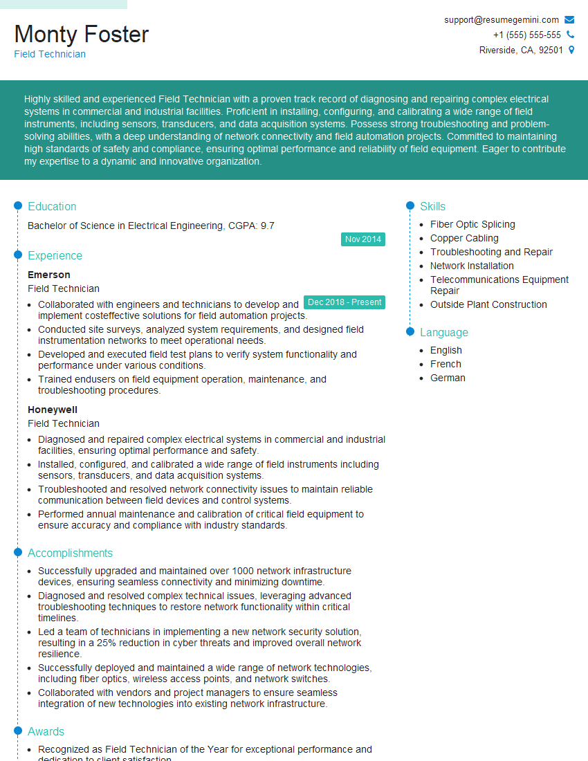
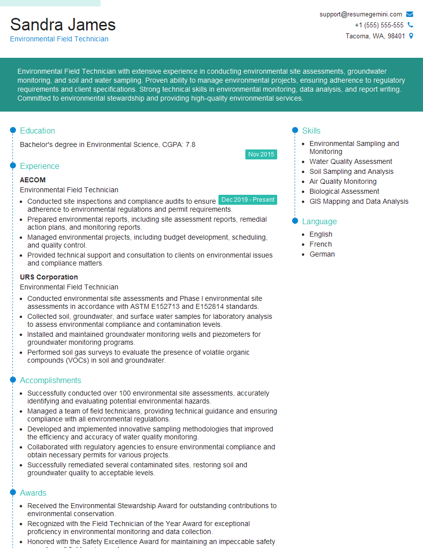
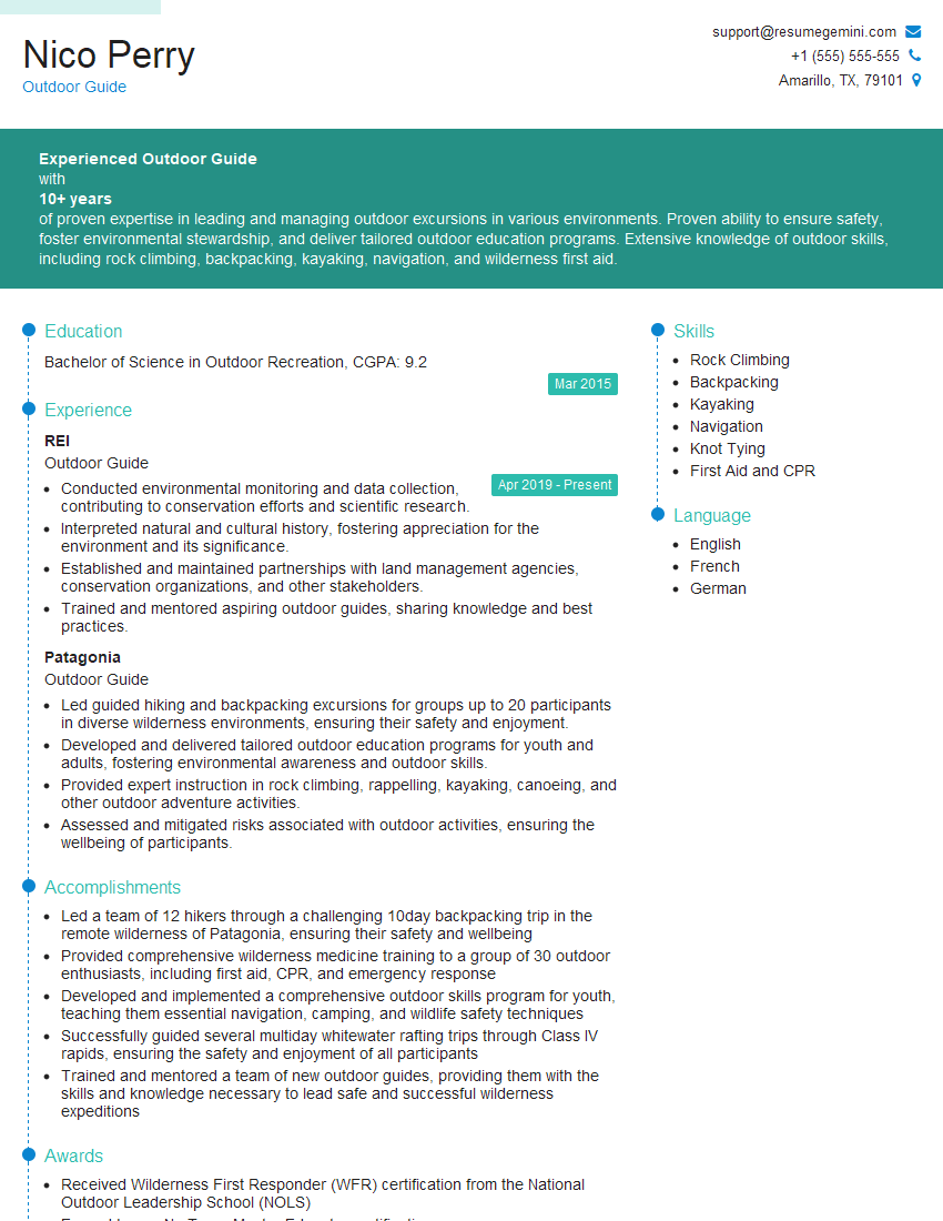
Mastering field navigation is crucial for career advancement in many fields, opening doors to exciting opportunities and demonstrating valuable problem-solving and adaptability skills. To maximize your job prospects, crafting a strong, ATS-friendly resume is essential. ResumeGemini can help you build a professional and impactful resume that highlights your skills and experience. We provide examples of resumes tailored to Field Navigation to help guide you in showcasing your qualifications effectively. Take the next step towards your dream career – build a compelling resume with ResumeGemini today.
Explore more articles
Users Rating of Our Blogs
Share Your Experience
We value your feedback! Please rate our content and share your thoughts (optional).
What Readers Say About Our Blog
Hello,
We found issues with your domain’s email setup that may be sending your messages to spam or blocking them completely. InboxShield Mini shows you how to fix it in minutes — no tech skills required.
Scan your domain now for details: https://inboxshield-mini.com/
— Adam @ InboxShield Mini
Reply STOP to unsubscribe
Hi, are you owner of interviewgemini.com? What if I told you I could help you find extra time in your schedule, reconnect with leads you didn’t even realize you missed, and bring in more “I want to work with you” conversations, without increasing your ad spend or hiring a full-time employee?
All with a flexible, budget-friendly service that could easily pay for itself. Sounds good?
Would it be nice to jump on a quick 10-minute call so I can show you exactly how we make this work?
Best,
Hapei
Marketing Director
Hey, I know you’re the owner of interviewgemini.com. I’ll be quick.
Fundraising for your business is tough and time-consuming. We make it easier by guaranteeing two private investor meetings each month, for six months. No demos, no pitch events – just direct introductions to active investors matched to your startup.
If youR17;re raising, this could help you build real momentum. Want me to send more info?
Hi, I represent an SEO company that specialises in getting you AI citations and higher rankings on Google. I’d like to offer you a 100% free SEO audit for your website. Would you be interested?
Hi, I represent an SEO company that specialises in getting you AI citations and higher rankings on Google. I’d like to offer you a 100% free SEO audit for your website. Would you be interested?
good
