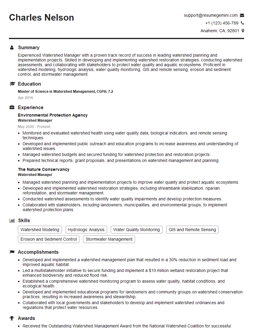
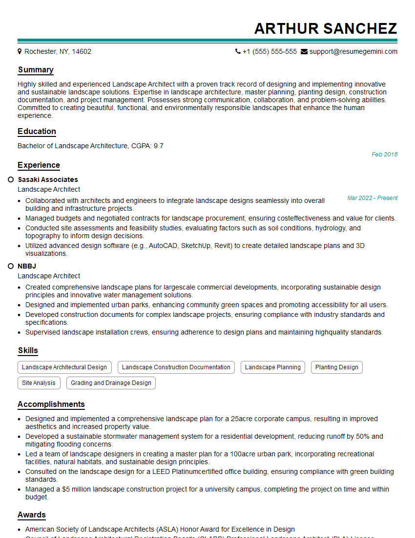
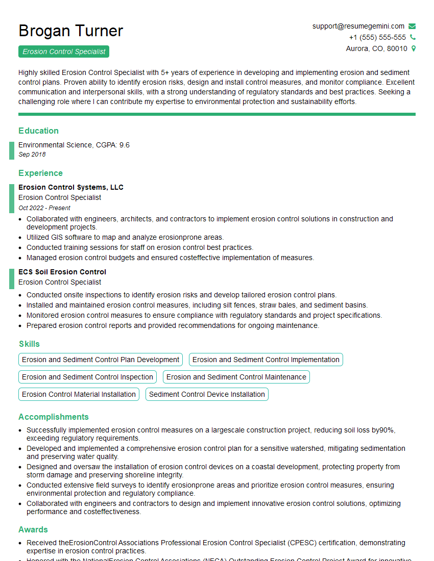
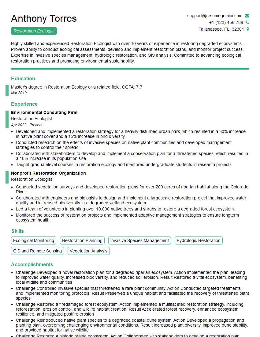
Every successful interview starts with knowing what to expect. In this blog, we’ll take you through the top Terrain Management interview questions, breaking them down with expert tips to help you deliver impactful answers. Step into your next interview fully prepared and ready to succeed.
Questions Asked in Terrain Management Interview
Q 1. Explain the principles of soil erosion and its prevention.
Soil erosion is the process of wearing away soil by natural forces like wind and water, often exacerbated by human activities. It’s like a slow leak draining the lifeblood from our land, reducing fertility and causing significant environmental damage. Prevention hinges on understanding these forces and implementing strategies to mitigate their impact.
- Minimizing Bare Soil Exposure: Leaving soil bare after harvesting or construction invites erosion. Cover crops, mulching, and timely planting are crucial to protect the soil’s surface. Think of it like providing a protective blanket to shield the soil from harsh elements.
- Contour Farming and Terracing: These techniques slow water runoff, preventing it from carving gullies. Contour farming follows the natural contours of the land, while terracing creates level platforms on slopes, effectively reducing the steepness and flow rate of water.
- Windbreaks and Shelterbelts: Planting rows of trees or shrubs acts as a barrier, reducing wind velocity and preventing wind erosion. This is similar to how a building protects its contents from wind damage.
- No-Till Farming: This method minimizes soil disturbance, maintaining soil structure and increasing organic matter, which enhances its ability to resist erosion. It’s like leaving the soil undisturbed, preserving its natural strength and resilience.
- Revegetation: Planting vegetation, especially native species, helps stabilize the soil, anchors it in place, and reduces the impact of rainfall and wind.
For example, in a hilly agricultural region prone to water erosion, implementing contour farming and planting cover crops between harvest cycles significantly reduces soil loss and improves crop yields.
Q 2. Describe different methods for assessing soil health.
Assessing soil health is crucial for effective terrain management. It’s like giving your land a yearly checkup to make sure it’s thriving. We use a variety of methods, both physical and chemical, to get a complete picture.
- Visual Assessment: Observing soil structure, color, and the presence of organic matter gives a quick initial assessment. Healthy soil is typically dark, crumbly, and rich in organic matter.
- Soil Texture Analysis: Determining the proportions of sand, silt, and clay reveals the soil’s drainage and water-holding capacity. This helps us understand the soil’s limitations and strengths.
- Soil pH Testing: Measuring the acidity or alkalinity is critical for determining nutrient availability and plant growth. A balanced pH is essential for optimal plant health.
- Nutrient Analysis: Laboratory tests determine the levels of essential nutrients like nitrogen, phosphorus, and potassium, providing insights into nutrient deficiencies that need to be addressed through fertilization.
- Organic Matter Content: Measuring the amount of organic matter reflects the soil’s biological activity and its ability to retain water and nutrients. High organic matter content usually indicates healthy soil.
- Biological Indicators: Analyzing the soil’s microbial community provides information about its overall health and functioning. Abundant microbial life signifies a healthy soil ecosystem.
For instance, if a soil test reveals low phosphorus levels, we can adjust our fertilization strategy to increase phosphorus application, optimizing crop yields and overall soil health.
Q 3. How do you manage water resources for optimal terrain health?
Managing water resources for optimal terrain health involves a holistic approach, balancing the needs of the landscape with the available water supply. It’s like being a water steward, ensuring equitable distribution and sustainable use.
- Water Harvesting and Storage: Implementing techniques to collect and store rainwater, such as building reservoirs or utilizing swales (shallow channels), provides a supplemental water source during dry periods.
- Irrigation System Optimization: Selecting and efficiently managing irrigation systems such as drip irrigation (precise water delivery directly to plant roots) or sprinkler systems minimizes water waste and optimizes water distribution.
- Water-Wise Landscaping: Choosing drought-tolerant native plants reduces the need for excessive irrigation, conserving water resources.
- Drainage Management: Efficient drainage systems prevent waterlogging, which can damage plant roots and reduce soil aeration. This involves creating channels to divert excess water.
- Monitoring Soil Moisture: Regular monitoring using soil moisture sensors helps us understand the soil’s water status and adjust irrigation accordingly, preventing both overwatering and underwatering.
For example, in arid regions, implementing water harvesting techniques coupled with drought-tolerant landscaping significantly reduces reliance on external water sources and promotes sustainable land management.
Q 4. What are the key considerations for designing a sustainable landscaping plan?
Designing a sustainable landscaping plan is about creating a beautiful and functional space that minimizes environmental impact and promotes long-term ecological health. It’s like building a resilient ecosystem that thrives with minimal intervention.
- Site Assessment: A thorough evaluation of the site’s soil conditions, microclimate, and existing vegetation informs the design choices, ensuring that plant selection and design elements are appropriate.
- Water Conservation: Prioritizing drought-tolerant plants, efficient irrigation systems, and rainwater harvesting reduces reliance on external water sources and promotes water conservation.
- Native Plant Selection: Using native plants requires less maintenance and promotes biodiversity, creating a resilient landscape that is adapted to local conditions.
- Pest and Disease Management: Employing integrated pest management (IPM) techniques minimizes pesticide use, protecting beneficial insects and reducing environmental impact.
- Waste Reduction: Utilizing recycled materials, composting green waste, and minimizing waste generation contribute to a sustainable landscaping approach.
- Soil Health Improvement: Enhancing soil health through soil testing, amending with compost, and minimizing soil disturbance creates a healthy growing medium for plants.
For instance, a sustainable landscaping plan for a residential area might incorporate rainwater harvesting for irrigation, using native drought-tolerant plants, and establishing a composting system for yard waste.
Q 5. Explain your experience with GPS and GIS technologies in terrain management.
GPS and GIS technologies are invaluable tools in terrain management. They provide precise spatial data, transforming how we assess, plan, and manage land. It’s like having a detailed map and a powerful analytical tool combined.
My experience includes using GPS for surveying land boundaries, creating precise topographic maps, and guiding machinery for tasks such as grading, seeding, and fertilizing. GIS software has been used to analyze elevation data, identify areas prone to erosion, and model the impact of different management strategies.
For example, I’ve used GPS data collected during a site survey to create a digital elevation model (DEM) in GIS software. This DEM enabled the analysis of slope gradients to inform the design of terraces to mitigate erosion on a steep hillside.
Furthermore, GIS allows for overlaying different data layers, such as soil types, vegetation cover, and drainage patterns, providing a comprehensive understanding of the terrain and supporting informed decision-making in land management practices.
Q 6. How do you address challenges posed by extreme weather conditions on terrain?
Extreme weather conditions, such as droughts, floods, and wildfires, pose significant challenges to terrain health. Addressing these requires proactive strategies that enhance the landscape’s resilience. It’s like preparing for the unexpected to minimize the damage.
- Drought Management: Implementing drought-resistant landscaping, efficient irrigation systems, and water harvesting techniques minimizes the impact of water scarcity.
- Flood Mitigation: Designing drainage systems, creating retention ponds, and strategically planting vegetation reduces the risk of flooding and erosion during intense rainfall.
- Wildfire Prevention: Creating firebreaks, managing fuel loads (reducing flammable vegetation), and promoting fire-resistant landscaping lessen the risk and impact of wildfires.
- Erosion Control: Implementing erosion control measures, such as terracing, contour farming, and vegetative stabilization, reduces the risk of soil loss during extreme weather events.
- Post-Disaster Recovery: Developing strategies for post-disaster recovery, including revegetation, soil stabilization, and infrastructure repair, are crucial for restoring the terrain after extreme events.
For example, after a wildfire, implementing a revegetation plan using native, fire-resistant species helps restore the ecosystem, prevent erosion, and increase the land’s resilience to future fires.
Q 7. Describe your experience with different types of irrigation systems.
My experience encompasses a range of irrigation systems, each with its own advantages and disadvantages. Selecting the right system depends on factors such as terrain, climate, soil type, and the type of plants being irrigated. It’s like choosing the right tool for the job.
- Drip Irrigation: This method delivers water directly to the plant roots, minimizing water waste and improving water use efficiency. It’s ideal for row crops, orchards, and landscapes with varying water needs.
- Sprinkler Irrigation: This system uses sprinklers to distribute water over a larger area. It’s suitable for large fields and open landscapes but can lead to water loss through evaporation and runoff if not properly managed.
- Surface Irrigation: Water is applied to the soil surface, typically using furrows or borders. It’s a simple system but can lead to significant water loss through infiltration and runoff, particularly on steep slopes.
- Subsurface Irrigation: Water is applied below the soil surface, reducing evaporation and improving water use efficiency. This is best suited for specific soil types and crop needs.
For example, in a landscape with numerous trees and shrubs, a drip irrigation system is often preferred due to its water efficiency and ability to target specific plants. However, for a large agricultural field, a sprinkler system might be more cost-effective, though careful management is needed to minimize water loss.
Q 8. How do you manage invasive plant species in a given terrain?
Managing invasive plant species requires a multi-pronged approach focusing on prevention, early detection, and control. Prevention involves careful planning before introducing new plants and maintaining healthy, competitive native vegetation. Early detection relies on regular monitoring and surveying to identify infestations before they spread widely. Control methods vary depending on the species and the severity of the infestation, but commonly include manual removal, herbicide application, and biological control (introducing natural predators). For example, in a forest setting, we might use a combination of targeted herbicide application to treat heavily infested areas, along with manual removal of smaller infestations and the promotion of native understory plants to outcompete the invasive species. A crucial element is choosing the least environmentally damaging method, considering factors like proximity to water sources or sensitive habitats.
Q 9. What are the best practices for managing stormwater runoff?
Best practices for managing stormwater runoff aim to minimize its impact on water quality and erosion. This involves implementing techniques like bioretention cells (areas filled with vegetation and soil designed to filter pollutants), rain gardens (shallow depressions planted with water-loving plants), permeable pavements (allowing water to seep into the ground), and vegetated swales (shallow channels that direct and filter runoff). Consider a project where we’re managing stormwater runoff from a large parking lot. Instead of relying solely on a piped system, we could design a system using bioretention cells to filter pollutants before the runoff reaches a nearby stream. We’d calculate the size of the bioretention cells based on the amount of runoff expected, select appropriate native plants tolerant to fluctuations in water levels, and ensure proper soil composition for effective filtration.
Q 10. Describe your experience with slope stabilization techniques.
My experience with slope stabilization techniques is extensive. I’ve worked on projects employing various methods, including bioengineering (using vegetation to reinforce slopes), structural solutions (such as retaining walls or rockfall barriers), and soil mechanics approaches (like soil nailing or anchoring). For instance, in a mountainous region prone to landslides, we utilized a combination of methods. We started by terracing the slope to reduce its gradient. Then we installed deep soil anchors for immediate stability. Finally, we planted native, deep-rooted vegetation to further reinforce the slope and prevent future erosion. The selection of the appropriate technique depends on several factors including the slope angle, soil type, geological conditions, and budget constraints. Each method has its strengths and weaknesses, and a holistic approach often yields the best results.
Q 11. How do you assess the environmental impact of terrain management practices?
Assessing the environmental impact of terrain management practices is crucial for sustainability. This involves conducting environmental impact assessments (EIAs), which include identifying potential impacts (e.g., soil erosion, water pollution, habitat loss), evaluating their significance, and proposing mitigation measures. Data collection techniques might involve field surveys, soil sampling, water quality testing, and species inventories. For example, before commencing a construction project on a hillside, we’d conduct an EIA to assess potential impacts on local wildlife and water quality. This would guide us in designing mitigation strategies like constructing sediment basins to trap erosion, using erosion control blankets, and minimizing habitat disturbance. The EIA report would inform decision-making and ensure environmentally sound practices are adopted.
Q 12. Explain your understanding of different soil types and their properties.
Understanding soil types is foundational to effective terrain management. Different soils vary greatly in their physical and chemical properties, influencing their suitability for vegetation, drainage, and structural support. For example, sandy soils are well-drained but poor in nutrients, while clay soils retain water but can become compacted. Loamy soils, a mixture of sand, silt, and clay, are generally considered ideal for plant growth because of their good drainage and nutrient retention. We use soil tests to determine pH, nutrient levels, and texture, enabling us to select appropriate plants, amend the soil with fertilizers or other materials, and design effective drainage systems. For instance, when planning a landscaping project, we’d need to analyze the existing soil type to determine if it’s suitable for the chosen plants. If it’s not, we might need to amend the soil with compost or other organic matter to improve its structure and fertility.
Q 13. What are the key factors to consider when selecting plant species for a specific terrain?
Selecting appropriate plant species is essential for successful terrain management. The choice hinges on various factors including climate (temperature, rainfall, sunlight), soil conditions (type, pH, drainage), desired function (erosion control, aesthetic value, wildlife habitat), and the presence of invasive species. For a coastal dune stabilization project, for instance, we’d select native grasses and shrubs that tolerate salt spray, wind, and shifting sands. These species are typically deep-rooted to prevent erosion and create a stable environment. We’d also consider using species that are less susceptible to diseases or pests, thereby reducing maintenance requirements and ensuring long-term success. Careful consideration ensures a resilient and healthy ecosystem.
Q 14. How do you use data analysis to inform terrain management decisions?
Data analysis plays a vital role in informing terrain management decisions. We use various data sources, including GIS (Geographic Information Systems) data (topographic maps, soil maps, vegetation maps), remotely sensed data (satellite imagery, aerial photography), and ground-based data (soil samples, water quality measurements). This data is analyzed to identify areas prone to erosion, landslides, or flooding; assess the health of vegetation; and monitor the effectiveness of management practices. For instance, using GIS we can overlay different data layers to identify areas at high risk of erosion, allowing for targeted intervention. Remote sensing helps us monitor changes in vegetation cover over time, providing insights into the success of reforestation or revegetation efforts. By integrating diverse data sources and employing statistical and spatial analysis techniques, we make data-driven decisions that optimize outcomes.
Q 15. Describe your experience with budget management and resource allocation in terrain projects.
Budget management and resource allocation are crucial for successful terrain management projects. It’s not just about spending money; it’s about optimizing resources to achieve project goals efficiently and effectively. My approach involves a multi-stage process, starting with a detailed budget breakdown. This includes anticipating all potential costs, from personnel and equipment to materials and permits. I use specialized software to create detailed cost models and projections, factoring in potential contingencies and inflation.
Next, I develop a resource allocation plan, prioritizing tasks based on their importance and urgency. This includes assigning personnel with the appropriate skills and experience to specific tasks. We regularly track spending against the budget and make adjustments as needed, using regular progress reports and variance analysis. For example, on a recent hillside stabilization project, we anticipated potential delays due to weather. By allocating a contingency fund and securing additional equipment early, we were able to mitigate weather-related delays, ultimately saving the project time and money.
Furthermore, I’m adept at negotiating favorable contracts with suppliers and subcontractors, leveraging my experience to secure the best value for money. By meticulously tracking expenses and regularly reviewing the budget, I’ve consistently delivered projects on time and within budget. This involves proactive risk management, identifying potential cost overruns and developing mitigation strategies before they impact the project.
Career Expert Tips:
- Ace those interviews! Prepare effectively by reviewing the Top 50 Most Common Interview Questions on ResumeGemini.
- Navigate your job search with confidence! Explore a wide range of Career Tips on ResumeGemini. Learn about common challenges and recommendations to overcome them.
- Craft the perfect resume! Master the Art of Resume Writing with ResumeGemini’s guide. Showcase your unique qualifications and achievements effectively.
- Don’t miss out on holiday savings! Build your dream resume with ResumeGemini’s ATS optimized templates.
Q 16. How do you ensure the safety of personnel and equipment during terrain management operations?
Safety is paramount in terrain management. My approach to ensuring personnel and equipment safety is proactive and multifaceted. It begins with a thorough risk assessment identifying all potential hazards, from unstable terrain and extreme weather to equipment malfunctions and wildlife encounters. Based on this assessment, we develop comprehensive safety plans tailored to each project. These plans include detailed safety procedures, emergency response protocols, and the use of appropriate safety equipment such as harnesses, hard hats, and specialized machinery.
We provide regular safety training to all personnel, covering topics like hazard identification, safe work practices, and emergency procedures. On-site supervision is crucial, with experienced personnel constantly monitoring work activities and enforcing safety regulations. We use checklists and daily briefings to reinforce safety protocols and address any potential concerns. For example, before commencing any excavation work, we conduct thorough ground surveys to identify potential instability and ensure the appropriate safety measures are in place. We also utilize technology such as GPS tracking and drone surveillance to monitor personnel and equipment in remote or hazardous areas. Furthermore, regular equipment inspections and maintenance are conducted to minimize the risk of malfunctions.
Q 17. Explain your understanding of regulatory compliance related to terrain management.
Regulatory compliance is a critical aspect of terrain management. I have a thorough understanding of all relevant federal, state, and local regulations pertaining to land use, environmental protection, and workplace safety. This includes compliance with the Clean Water Act, Endangered Species Act, and Occupational Safety and Health Administration (OSHA) standards. Before undertaking any project, I conduct a comprehensive review of all applicable regulations to ensure full compliance. This involves obtaining the necessary permits and licenses, adhering to environmental impact assessments, and implementing measures to minimize environmental disruption.
I maintain meticulous records of all permits, inspections, and environmental monitoring activities. I understand that non-compliance can result in hefty fines, project delays, and legal issues. Regular training keeps my team updated on evolving regulations and best practices. For instance, on a recent project involving riparian habitat restoration, we meticulously followed guidelines to protect endangered species and minimize water pollution. We collaborated closely with regulatory agencies throughout the project, ensuring transparency and proactively addressing any concerns.
Q 18. Describe your experience with creating and implementing terrain management plans.
Creating and implementing terrain management plans requires a systematic and comprehensive approach. I begin by gathering all relevant data, including topographical maps, soil surveys, hydrological information, and environmental assessments. This detailed analysis informs the development of a plan that outlines project goals, objectives, timelines, and resource allocation. The plan should be clearly defined, containing specific, measurable, achievable, relevant, and time-bound (SMART) goals.
The plan incorporates risk assessment and mitigation strategies, addressing potential challenges such as weather events, soil erosion, and equipment malfunctions. For example, a plan for a large-scale erosion control project would outline specific methods for stabilizing slopes, implementing vegetation, and managing water runoff. The implementation phase involves meticulous monitoring and evaluation to ensure the plan is effective and any necessary adjustments are made. Progress reports, documenting activities and outcomes, are crucial for ensuring accountability and transparency. I have been involved in numerous projects, from small-scale land restoration projects to large infrastructure developments, successfully implementing plans that ensured projects were executed safely, efficiently, and within budget.
Q 19. How do you communicate effectively with stakeholders regarding terrain management projects?
Effective communication is fundamental to successful terrain management projects. I utilize a variety of communication strategies tailored to the specific needs of various stakeholders. This includes regular meetings with project teams, clients, government agencies, and community members. I use clear and concise language, avoiding technical jargon where possible. Visual aids such as maps, diagrams, and photographs enhance communication and ensure that everyone understands the project’s scope and objectives.
I emphasize active listening, creating a collaborative environment where stakeholders can share their concerns and contribute their insights. Regular progress reports and updates, disseminated through various channels (email, meetings, presentations), keep stakeholders informed of project progress. For example, during a public consultation on a parkland restoration project, I utilized interactive displays and community forums to explain the proposed plan, address concerns, and gather feedback. Transparent and proactive communication ensures that all stakeholders remain informed and engaged, fostering trust and collaboration.
Q 20. What are the ethical considerations in terrain management?
Ethical considerations are integral to terrain management. My approach prioritizes environmental sustainability, social responsibility, and fairness. We strive to minimize environmental impact, adopting practices that preserve biodiversity and protect sensitive ecosystems. We avoid activities that could lead to habitat destruction or pollution. For instance, on a construction project, we prioritized minimizing disturbance to existing vegetation and wildlife habitats, employing mitigation measures like careful site preparation and post-project restoration.
Social responsibility extends to ensuring the well-being of local communities. We engage with communities and consider their concerns during project planning and implementation. Fairness in dealing with stakeholders, including landowners, contractors, and employees, is also paramount. We adhere to ethical procurement practices, ensuring fair wages and safe working conditions for all personnel. Transparency and accountability are key to maintaining ethical standards. We maintain meticulous records and conduct regular audits to ensure compliance with ethical guidelines and legal requirements.
Q 21. How do you adapt terrain management strategies to varying climates and ecosystems?
Adapting terrain management strategies to varying climates and ecosystems is essential. I possess expertise in adapting techniques to diverse environmental conditions, including arid regions, mountainous terrains, and coastal zones. A key element is understanding the unique characteristics of each ecosystem, considering factors such as soil type, vegetation, hydrology, and climate patterns. For example, erosion control techniques in arid regions differ significantly from those employed in humid climates. In arid regions, we might focus on water harvesting and drought-resistant vegetation, whereas in humid climates, the focus might be on drainage management and preventing waterlogging.
My approach involves incorporating climate change considerations into terrain management plans. This includes assessing the vulnerability of the terrain to extreme weather events and incorporating mitigation strategies to enhance resilience. I utilize advanced technologies such as remote sensing and geographic information systems (GIS) to analyze terrain data and model the impact of climate change. This information helps to inform adaptive management strategies, enabling proactive adjustments to address changing conditions. For example, in a coastal zone, we might use GIS to model sea-level rise and inform the design of coastal protection measures.
Q 22. Explain your experience with using remote sensing technologies for terrain analysis.
Remote sensing technologies are invaluable for terrain analysis, providing a bird’s-eye view and detailed data otherwise impossible to gather on foot. My experience encompasses utilizing various platforms, including LiDAR (Light Detection and Ranging), aerial photography, and multispectral satellite imagery.
For instance, on a recent project involving landslide risk assessment, we used LiDAR to create high-resolution digital elevation models (DEMs). These DEMs allowed us to precisely identify areas with steep slopes, unstable geology, and potential drainage issues – all critical factors in predicting landslide susceptibility. Analyzing multispectral imagery helped us further assess vegetation health, identifying areas of stress that might indicate underlying instability.
Another example involved using aerial photography to monitor erosion patterns along a riverbank. By comparing imagery taken at different times, we could quantify the rate of erosion and inform the design of mitigation measures. The precision and efficiency offered by remote sensing significantly enhanced the accuracy and speed of our analysis, leading to better-informed decision-making.
Q 23. Describe your experience with different types of land surveying equipment.
My experience with land surveying equipment spans a wide range of technologies, from traditional methods to the latest advancements in GPS and laser scanning. I’m proficient in using total stations, which provide precise measurements of distances, angles, and elevations. These are indispensable for creating detailed topographic maps and setting out construction works.
I’m also experienced with GPS systems, including both real-time kinematic (RTK) GPS and post-processed kinematic (PPK) GPS. RTK provides real-time, centimeter-level accuracy, essential for tasks like stakeout and boundary surveying. PPK offers high accuracy after post-processing, ideal for large-scale projects or areas with limited satellite coverage.
Furthermore, I’ve worked extensively with laser scanners, which provide high-density point clouds representing the terrain’s three-dimensional surface. This technology is particularly useful for capturing complex terrain features, generating detailed 3D models, and assessing volume changes in earthworks.
Q 24. How do you handle unexpected challenges or problems during terrain management projects?
Unexpected challenges are inevitable in terrain management. My approach prioritizes proactive planning, risk assessment, and a flexible problem-solving strategy. For example, encountering unexpected subsurface conditions during construction is common. In one project, we discovered unexpected bedrock during excavation.
Instead of panicking, we immediately initiated a thorough geotechnical investigation to understand the extent of the problem. We then adapted our construction plans, incorporating new strategies to address the bedrock, minimizing project delays and cost overruns.
Another scenario involved extreme weather conditions delaying aerial surveys. We developed contingency plans, including utilizing ground-based surveying techniques where feasible and rescheduling the aerial work when conditions improved. Effective communication with stakeholders and a willingness to adapt are vital in overcoming these unforeseen circumstances.
Q 25. Describe your experience with project management software used in terrain management.
I’ve extensively utilized various project management software in terrain management, including ArcGIS Pro, AutoCAD Civil 3D, and ProjectWise. ArcGIS Pro is crucial for geospatial data management, analysis, and visualization. I use it for creating and managing geodatabases, analyzing spatial data, and generating maps and reports.
AutoCAD Civil 3D is essential for designing and modeling civil engineering projects, including roads, drainage systems, and earthworks. I utilize its capabilities for creating surface models, designing alignments, and generating construction drawings.
ProjectWise facilitates collaboration and data management throughout the project lifecycle. It allows for centralized document storage, version control, and workflow management, ensuring efficient collaboration among team members and stakeholders.
Q 26. Explain your understanding of the principles of sustainable land use.
Sustainable land use is central to responsible terrain management. It involves balancing the needs of human development with the protection of natural resources and ecosystems. Key principles include minimizing environmental impact, conserving biodiversity, and ensuring the long-term productivity of the land.
For instance, implementing erosion control measures during construction minimizes sediment runoff into waterways, protecting water quality and aquatic habitats. Selecting appropriate planting schemes considers local vegetation and soil conditions to promote biodiversity and soil health.
Furthermore, sustainable land use practices often incorporate principles of integrated water resource management, aiming to balance water demand with its availability and environmental needs. Careful planning and consideration of long-term effects are vital for sustainable land management.
Q 27. How do you monitor and evaluate the effectiveness of terrain management strategies?
Monitoring and evaluating terrain management strategies is a crucial aspect of ensuring their effectiveness. This involves regularly collecting data to assess the impacts of implemented strategies and making necessary adjustments. Methods include field surveys, remote sensing, and data analysis.
For example, following the implementation of erosion control measures, we monitor the sediment load in nearby streams using regular water quality sampling. We also use repeat surveys and remote sensing to assess the stability of slopes and the effectiveness of vegetation establishment.
Data analysis helps us identify trends, assess the success of our interventions, and make informed decisions about future strategies. This iterative process of monitoring, evaluation, and adaptation is essential for ensuring the long-term success of any terrain management project.
Q 28. Describe your experience with using different types of machinery used in terrain management.
My experience encompasses a variety of machinery commonly used in terrain management. This includes excavators, bulldozers, graders, and loaders. Excavators are essential for excavation, trenching, and material handling. Their versatility makes them invaluable for various tasks.
Bulldozers are crucial for earthmoving, site preparation, and land clearing. Their powerful blades allow them to move large volumes of earth efficiently. Graders are used for fine grading, creating smooth surfaces for roads and other infrastructure.
Loaders are essential for material handling, loading trucks, and transporting materials across the site. Safe and efficient operation of this equipment, coupled with understanding its limitations, is crucial for effective terrain management. Regular maintenance and operator training are crucial for maximizing safety and efficiency.
Key Topics to Learn for Terrain Management Interview
- Terrain Data Acquisition & Analysis: Understanding various methods like LiDAR, photogrammetry, and GPS surveying; processing and interpreting this data to create accurate terrain models.
- Terrain Modeling & Visualization: Practical experience with GIS software (ArcGIS, QGIS) to create and manipulate digital elevation models (DEMs), contour maps, and 3D terrain visualizations; applying this to real-world scenarios like site planning or environmental impact assessments.
- Terrain Classification & Analysis: Identifying and classifying different terrain features (slopes, aspects, elevations); using this information for applications such as habitat suitability modeling, hydrological analysis, or infrastructure planning.
- Terrain Impact Assessment & Mitigation: Understanding the environmental and engineering implications of terrain modifications; applying best practices for erosion control, slope stabilization, and minimizing environmental impact.
- Spatial Data Management & Analysis: Proficiency in managing large geospatial datasets; utilizing database management systems and spatial analysis techniques for effective data handling and interpretation.
- Remote Sensing & Image Processing: Interpreting satellite and aerial imagery to extract terrain information; applying image processing techniques to enhance data quality and improve analysis.
- Problem-Solving & Decision-Making in Terrain Management: Demonstrating ability to analyze complex terrain challenges, propose practical solutions, and make informed decisions based on available data.
Next Steps
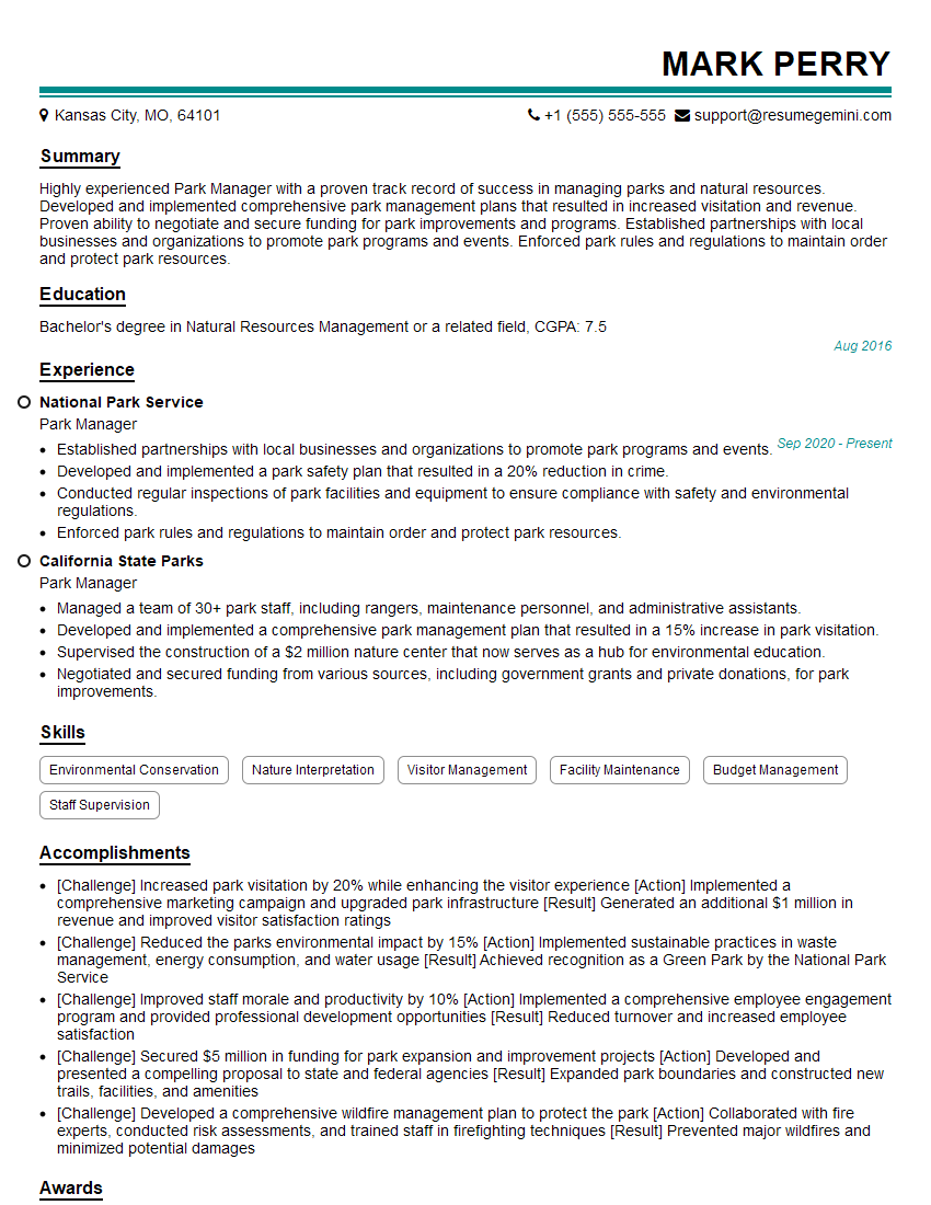
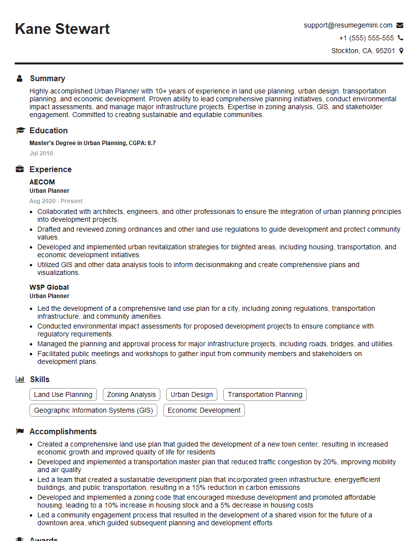
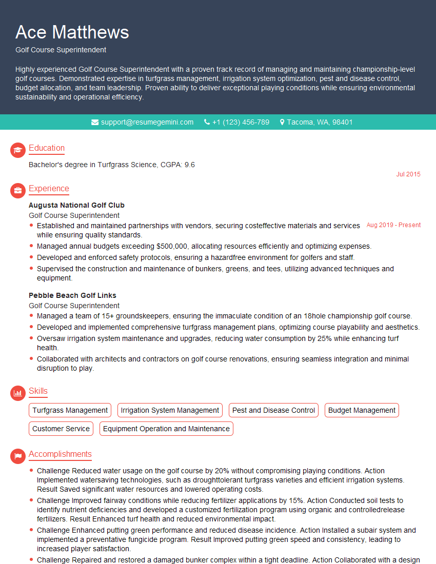
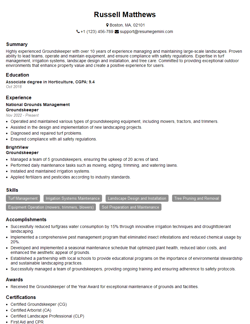
Mastering Terrain Management opens doors to exciting and impactful careers in fields like environmental science, civil engineering, and urban planning. A strong understanding of these concepts is crucial for career advancement and securing your dream role. To maximize your job prospects, crafting an ATS-friendly resume is paramount. ResumeGemini is a trusted resource to help you build a professional and impactful resume that highlights your skills and experience effectively. We offer examples of resumes tailored to Terrain Management to guide you in showcasing your qualifications.
Explore more articles
Users Rating of Our Blogs
Share Your Experience
We value your feedback! Please rate our content and share your thoughts (optional).
What Readers Say About Our Blog
Hello,
We found issues with your domain’s email setup that may be sending your messages to spam or blocking them completely. InboxShield Mini shows you how to fix it in minutes — no tech skills required.
Scan your domain now for details: https://inboxshield-mini.com/
— Adam @ InboxShield Mini
Reply STOP to unsubscribe
Hi, are you owner of interviewgemini.com? What if I told you I could help you find extra time in your schedule, reconnect with leads you didn’t even realize you missed, and bring in more “I want to work with you” conversations, without increasing your ad spend or hiring a full-time employee?
All with a flexible, budget-friendly service that could easily pay for itself. Sounds good?
Would it be nice to jump on a quick 10-minute call so I can show you exactly how we make this work?
Best,
Hapei
Marketing Director
Hey, I know you’re the owner of interviewgemini.com. I’ll be quick.
Fundraising for your business is tough and time-consuming. We make it easier by guaranteeing two private investor meetings each month, for six months. No demos, no pitch events – just direct introductions to active investors matched to your startup.
If youR17;re raising, this could help you build real momentum. Want me to send more info?
Hi, I represent an SEO company that specialises in getting you AI citations and higher rankings on Google. I’d like to offer you a 100% free SEO audit for your website. Would you be interested?
Hi, I represent an SEO company that specialises in getting you AI citations and higher rankings on Google. I’d like to offer you a 100% free SEO audit for your website. Would you be interested?
good
