Every successful interview starts with knowing what to expect. In this blog, we’ll take you through the top Ecosystem Assessment interview questions, breaking them down with expert tips to help you deliver impactful answers. Step into your next interview fully prepared and ready to succeed.
Questions Asked in Ecosystem Assessment Interview
Q 1. Define ecosystem services and provide three examples.
Ecosystem services are the myriad of benefits that humans freely gain from the natural environment and properly functioning ecosystems. Think of them as the ‘goods and services’ nature provides us.
Provisioning services: These are the tangible products we obtain from ecosystems, such as food (e.g., fish from oceans, crops from farms), fresh water, timber, and fuelwood. Imagine your morning coffee – the beans are a provisioning service.
Regulating services: These are the benefits obtained from the regulation of ecosystem processes, including climate regulation (forests absorbing carbon dioxide), water purification (wetlands filtering pollutants), disease control (healthy ecosystems supporting natural pest control), and pollination (insects enabling crop production). Think about the clean air you breathe – that’s a regulating service.
Cultural services: These are the non-material benefits people obtain from ecosystems, such as recreation (hiking in a national park), spiritual enrichment (a sense of connection to nature), aesthetic value (enjoying the beauty of a landscape), and educational opportunities. Think about the joy you feel spending time in a beautiful forest – that’s a cultural service.
Q 2. Explain the difference between alpha, beta, and gamma diversity.
Biodiversity is often categorized into three levels: alpha, beta, and gamma diversity. These levels describe different aspects of species richness and composition.
Alpha diversity: This refers to the species richness within a particular habitat or local community. Imagine a single meadow – alpha diversity would be the number of different plant species found within that meadow.
Beta diversity: This measures the difference in species composition between different habitats or communities. Comparing the plant species in our meadow to those in a nearby forest would reveal the beta diversity – the turnover in species between the two.
Gamma diversity: This represents the overall species richness across a larger landscape or region. It’s the total number of species found across all habitats in a specific geographic area. For example, the total number of plant species within an entire national park would represent its gamma diversity.
Q 3. Describe common methods for assessing ecosystem health.
Assessing ecosystem health is a complex undertaking, requiring a multifaceted approach. Common methods include:
Biotic indices: These use the abundance and diversity of indicator species (e.g., sensitive fish species, specific types of insects) to reflect the overall health of the ecosystem. A decline in these sensitive species suggests possible pollution or habitat degradation.
Physical and chemical monitoring: Measuring water quality parameters (e.g., dissolved oxygen, nutrient levels), soil properties (e.g., organic matter, pH), and air quality provides insights into ecosystem functioning and potential stresses.
Remote sensing: Using satellite imagery and aerial photography allows for large-scale monitoring of vegetation cover, deforestation, and habitat changes over time. This provides a broad overview of ecosystem conditions.
Community-based monitoring: Engaging local communities in data collection can provide valuable insights into ecosystem changes and human impacts. This participatory approach can improve both data quality and community engagement.
Often, a combination of these methods is used to create a comprehensive assessment of ecosystem health.
Q 4. What are the key indicators of ecosystem resilience?
Ecosystem resilience is the capacity of an ecosystem to absorb disturbance and reorganize while undergoing change so as to retain essentially the same function, structure, identity, and feedbacks. Key indicators include:
Species diversity: Higher diversity generally means greater resilience, as different species offer diverse functional roles and responses to disturbances.
Functional diversity: The variety of ecological processes within the ecosystem. A diverse range of processes allows the ecosystem to adapt more effectively to changes.
Connectivity: The degree to which different parts of the ecosystem are linked. Better connectivity allows for greater resilience as organisms and resources can move between areas.
Nutrient cycling efficiency: The efficient cycling of nutrients is crucial for the ecosystem’s ability to recover from disturbances.
Adaptive capacity: The ability of the ecosystem and its components to adjust to changing conditions. This is often influenced by the genetic diversity within populations.
Q 5. How do you assess the impact of human activities on ecosystems?
Assessing the impact of human activities requires a comparative approach, often using control and impacted sites. Methods include:
Before-After Control-Impact (BACI) studies: Monitoring ecosystems before and after a disturbance (e.g., dam construction, pollution event) at both impacted and control sites helps isolate the impact of the human activity.
Impact assessments: These systematically evaluate the potential ecological consequences of planned projects (e.g., new roads, mining operations). These assess potential changes in habitats, species populations, and ecosystem services.
Long-term monitoring programs: Tracking ecosystem changes over extended periods allows for identification of trends and the detection of long-term impacts, such as climate change.
Modeling: Using computer models to simulate the effects of different human activities allows for prediction and management strategies.
It’s crucial to consider multiple factors, such as pollution, habitat fragmentation, overexploitation of resources, and climate change, when assessing the overall impact.
Q 6. Explain the concept of ecosystem thresholds and tipping points.
Ecosystem thresholds represent critical points where a relatively small change in environmental conditions can lead to a large and often irreversible shift in ecosystem structure and function. A tipping point is the moment when this threshold is crossed.
Imagine a ball sitting on top of a hill. Small pushes (minor disturbances) might move the ball slightly, but it remains on the hill. However, if a large enough push (a critical disturbance) occurs, the ball rolls down the other side, representing a sudden shift to a different state. This is analogous to an ecosystem reaching a tipping point.
Examples of ecosystem thresholds include coral reef bleaching (where increasing water temperatures cause widespread coral death), shifts in vegetation types (e.g., forest transitioning to savanna), and changes in lake trophic states (e.g., oligotrophic to eutrophic). Understanding these thresholds is critical for effective ecosystem management and conservation.
Q 7. Describe different approaches to ecosystem mapping and GIS applications.
Ecosystem mapping employs various techniques to visualize and analyze spatial patterns of ecosystems and their components. GIS (Geographic Information Systems) plays a crucial role.
Remote sensing data: Satellite imagery and aerial photos provide information on vegetation cover, land use, and other ecosystem characteristics.
Spectral indices, such as the Normalized Difference Vegetation Index (NDVI), help quantify vegetation health and density.Field data: Ground surveys and field measurements collect detailed information on species composition, habitat structure, and environmental factors. This data is crucial for validating remotely sensed information.
GIS analysis: GIS software allows for spatial analysis such as overlaying different data layers (e.g., vegetation maps, soil maps, elevation data) to understand the relationships between ecosystem components. Spatial statistics help determine the distribution patterns of various ecosystems.
Modeling approaches: Ecosystem models, often integrated with GIS, can simulate ecosystem dynamics and predict responses to environmental changes. These models are useful for projecting future ecosystem changes under different scenarios (e.g., climate change, land-use change).
For example, GIS can be used to create maps of forest cover change, showing deforestation rates over time or identify areas with high biodiversity for conservation efforts.
Q 8. What are the limitations of using remote sensing in ecosystem assessment?
Remote sensing, while a powerful tool in ecosystem assessment, has inherent limitations. Its effectiveness depends heavily on the availability of suitable satellite imagery and the resolution of that imagery. For instance, very fine details, like the presence of specific plant species or the health of individual trees, might be difficult to discern from coarser resolution imagery.
Another limitation lies in atmospheric interference. Clouds, haze, and smoke can obscure the view, leading to incomplete or inaccurate data. Furthermore, interpreting the data requires expertise; correctly identifying vegetation types or assessing the extent of damage from satellite imagery necessitates specialized knowledge and software.
Finally, the cost of acquiring and processing high-resolution imagery can be prohibitive, particularly for large-scale assessments or those in remote locations. For example, assessing deforestation in a vast rainforest using high-resolution imagery would be significantly more expensive than using coarser resolution imagery. This economic constraint often forces a compromise between data quality and geographical coverage.
Q 9. How do you integrate socioeconomic factors into ecosystem assessments?
Integrating socioeconomic factors is crucial for a holistic ecosystem assessment, as human activities profoundly influence ecosystem health. We can achieve this through various methods. One approach involves mapping socioeconomic data (like population density, income levels, and land use practices) onto ecological data using Geographic Information Systems (GIS). This overlay helps visualize the relationship between human activities and ecosystem changes.
Another method involves conducting surveys and interviews with local communities to understand their dependence on ecosystem services (e.g., clean water, timber, fishing). This qualitative data provides invaluable insights into human-ecosystem interactions. For instance, in a coastal community, we might find a strong correlation between overfishing and declining fish stocks, directly impacting local livelihoods. This information can be integrated quantitatively by valuing the lost income from reduced fish catches.
Economic valuation techniques, such as contingent valuation or the travel cost method, are often used to estimate the economic benefits derived from ecosystems. This allows us to put a monetary value on ecosystem services, providing a stronger argument for conservation efforts when considering economic development projects.
Q 10. Explain the role of stakeholder engagement in ecosystem management.
Stakeholder engagement is paramount to successful ecosystem management. It ensures that assessments are relevant, credible, and legitimate, leading to more effective conservation and management strategies. Without actively involving stakeholders, assessments risk being disconnected from real-world concerns and may not be adopted by the people who are directly impacted by ecosystem changes.
Effective stakeholder engagement involves identifying all relevant stakeholders (local communities, government agencies, NGOs, businesses, researchers) and establishing effective communication channels. This could involve public forums, workshops, surveys, and participatory mapping exercises. For example, in a project focusing on watershed management, engaging farmers is essential to understand their agricultural practices and their potential impacts on water quality.
The goal is to create a collaborative process where stakeholders can contribute their knowledge, concerns, and priorities. This collaborative approach increases the likelihood of achieving management goals and builds consensus around conservation actions. Ignoring stakeholder input often leads to resistance, conflict, and ultimately, ineffective management strategies.
Q 11. Describe your experience with different ecosystem assessment frameworks (e.g., RAP, MEA).
I have extensive experience applying various ecosystem assessment frameworks. The Rapid Assessment Programme (RAP) is a valuable tool for quick, preliminary assessments, particularly useful in situations requiring urgent action, like responding to environmental disasters. Its strengths lie in its efficiency and ability to provide a broad overview of ecosystem status. However, it’s limited in its depth of analysis.
Conversely, the Millennium Ecosystem Assessment (MEA) provides a more comprehensive and global perspective. The MEA’s strength lies in its integrated approach, considering ecological, socioeconomic, and governance aspects. I have used the MEA framework to conduct large-scale assessments, drawing on its structured approach to analyze drivers of ecosystem change and evaluate various policy options.
In practice, I often combine elements from different frameworks to tailor the assessment to the specific context and needs. For example, I might use RAP for initial scoping and then integrate findings into a more detailed assessment using aspects of the MEA approach.
Q 12. How do you analyze and interpret ecosystem data using statistical methods?
Analyzing ecosystem data requires a range of statistical methods depending on the nature of the data and research questions. For example, I might use descriptive statistics to summarize key variables, such as species richness or abundance. Inferential statistics, such as t-tests or ANOVA, are used to compare differences between groups or treatments. Regression analysis can be used to model relationships between variables, such as the relationship between rainfall and plant growth.
Spatial analysis techniques are crucial for analyzing geographically referenced data. Spatial autocorrelation analysis, for instance, helps determine if observations are clustered or randomly distributed across the landscape. Geostatistics are used for spatial interpolation and prediction. For example, if we have data on soil nutrient levels at a few sampling points, we can use geostatistics to estimate nutrient levels across the entire area.
Multivariate statistical methods, such as Principal Component Analysis (PCA) and cluster analysis, are useful for reducing data dimensionality and identifying patterns within complex datasets. In a study of forest communities, PCA might be used to identify gradients in species composition related to environmental factors.
Q 13. What are the key challenges in conducting ecosystem assessments in data-scarce environments?
Conducting ecosystem assessments in data-scarce environments presents significant challenges. Limited historical data, inadequate monitoring networks, and lack of resources often hamper the process. In such situations, we must employ creative strategies. One approach involves combining available data from multiple sources, including satellite imagery, local ecological knowledge, and historical records.
Another strategy involves using modelling techniques to fill data gaps. For example, species distribution models can be used to predict the potential occurrence of species based on environmental variables. This is particularly useful in areas where comprehensive species surveys have not been conducted. We might also employ expert elicitation, where experts are asked to provide estimates of key parameters based on their experience and knowledge.
It is crucial to acknowledge the uncertainties associated with data limitations and carefully consider the implications for the assessment findings and recommendations. Transparency about data limitations builds trust and ensures that the results are interpreted cautiously.
Q 14. Explain the concept of ecosystem valuation and its methodologies.
Ecosystem valuation is the process of assigning economic value to the goods and services provided by ecosystems. This helps demonstrate the economic importance of ecosystems, informing decisions about conservation and resource management. Various methodologies exist for ecosystem valuation.
The market-based approach values ecosystem services traded in markets, like timber or fisheries. The revealed preference approach infers values from observed behavior, such as the travel cost method (estimating willingness to pay for recreational use of a park). The stated preference approach uses surveys to elicit people’s willingness to pay for ecosystem services, like the contingent valuation method.
These methodologies are often combined to obtain a comprehensive valuation of ecosystem services. For example, in valuing a wetland, we might combine the market value of harvested fish with the value of flood protection (revealed preference) and the value of recreational use (stated preference). Results provide a holistic picture for supporting policy decisions that balance economic development with ecosystem preservation.
Q 15. How do you communicate complex ecosystem assessment findings to non-technical audiences?
Communicating complex ecosystem assessment findings to non-technical audiences requires translating scientific jargon into clear, concise, and engaging narratives. I employ several strategies. First, I use simple language, avoiding technical terms whenever possible. If a technical term is unavoidable, I provide a clear and simple definition. Second, I rely heavily on visuals – charts, graphs, maps, and even photographs – to illustrate key findings. A picture is truly worth a thousand words, particularly when explaining complex data. Third, I utilize storytelling. Framing the data within a compelling narrative about the ecosystem, its importance, and the potential consequences of its degradation helps to make the information relatable and memorable. For instance, instead of saying ‘species richness decreased by 15%’, I might say, ‘We’ve lost 15% of the plant and animal life in this area, impacting the delicate balance of the ecosystem and potentially threatening the resources we rely on.’ Finally, I actively encourage questions and tailor my explanations to the specific audience’s level of understanding, ensuring everyone leaves with a clear grasp of the key messages.
For example, when presenting findings on water quality degradation to a community group, I would use infographics showing the decline in water quality over time, along with photographs illustrating the visible impact on the local river or lake. I would explain the consequences in terms of human health and economic impacts instead of solely relying on technical parameters. This approach facilitates better understanding and fosters community engagement in conservation efforts.
Career Expert Tips:
- Ace those interviews! Prepare effectively by reviewing the Top 50 Most Common Interview Questions on ResumeGemini.
- Navigate your job search with confidence! Explore a wide range of Career Tips on ResumeGemini. Learn about common challenges and recommendations to overcome them.
- Craft the perfect resume! Master the Art of Resume Writing with ResumeGemini’s guide. Showcase your unique qualifications and achievements effectively.
- Don’t miss out on holiday savings! Build your dream resume with ResumeGemini’s ATS optimized templates.
Q 16. Describe your experience with ecosystem restoration projects.
I have extensive experience in ecosystem restoration, particularly in wetland rehabilitation and forest regeneration projects. In one project, we worked on restoring a degraded coastal wetland impacted by agricultural runoff and invasive species. Our approach involved a multi-phased strategy: first, controlling invasive plant species; second, improving water quality through the construction of bio-swales and buffer zones; third, replanting native vegetation. This required extensive stakeholder engagement, including local farmers, community groups, and government agencies. We monitored the restoration process using various indicators, including water quality parameters, plant species diversity, and bird populations. The success of this project was measured by a significant increase in biodiversity and improvements in water quality, demonstrating the effectiveness of our integrated approach. In another project, I oversaw the restoration of a degraded forest using a combination of active restoration techniques (such as planting native tree saplings) and passive restoration techniques (such as removing invasive species and allowing natural regeneration). We used GIS mapping and remote sensing to monitor forest cover and overall health over time, ensuring successful implementation of the project.
Q 17. What are the ethical considerations in ecosystem assessment and management?
Ethical considerations are paramount in ecosystem assessment and management. They center around equity, transparency, and sustainability. Firstly, there’s the issue of fairness and equity. Assessments should consider the impacts on all stakeholders, including marginalized communities who are often disproportionately affected by environmental degradation. For example, an assessment of a new dam project should account for the displacement and potential loss of livelihoods of indigenous communities. Secondly, transparency is crucial. Data collection methods, analysis techniques, and findings should be openly accessible and subject to peer review to ensure the integrity and credibility of the assessment. Thirdly, sustainability necessitates that assessments consider the long-term environmental, economic, and social consequences of management decisions. We need to prioritize actions that promote the long-term health of ecosystems while ensuring the well-being of current and future generations. For example, advocating for sustainable forestry practices over short-term logging profits aligns with this ethical consideration. Finally, it is essential to avoid conflicts of interest and ensure that assessments are not influenced by biases or vested interests.
Q 18. How do you incorporate climate change impacts into your ecosystem assessments?
Incorporating climate change impacts into ecosystem assessments is crucial for developing effective and adaptive management strategies. This involves assessing current and projected climate change effects (e.g., changes in temperature, precipitation patterns, sea-level rise, increased frequency of extreme weather events) on ecosystem structure and function. I use various methods: climate models to project future climate scenarios; species distribution models to predict changes in species ranges and abundance; vulnerability assessments to identify ecosystems and species most at risk; and scenario planning to explore potential management responses under different climate change futures. For instance, when assessing a coastal ecosystem, I would incorporate projections of sea-level rise to predict the potential loss of habitat and the associated impacts on biodiversity. This information is then used to inform adaptive management strategies, such as habitat restoration or relocation efforts. Moreover, I consider climate change impacts on ecosystem services, evaluating their potential future value and the implications for human well-being.
Q 19. What are the differences between qualitative and quantitative approaches to ecosystem assessment?
Qualitative and quantitative approaches are complementary methods in ecosystem assessment. Quantitative approaches rely on numerical data and statistical analysis to measure ecosystem characteristics and changes. This includes using indices like species richness, biomass, or water quality parameters. For example, measuring the abundance of a specific bird species or assessing the level of pollutants in a river is a quantitative approach. Data is often collected through field surveys, remote sensing, or lab analysis. Qualitative approaches focus on descriptive information and observations, often employing methods like interviews, participatory mapping, and expert knowledge. For instance, assessing local communities’ perceptions of ecosystem changes or documenting the observed effects of a wildfire on plant communities is a qualitative approach. While quantitative methods offer precise measurements, qualitative approaches offer valuable contextual information and local perspectives, enriching our understanding. A comprehensive ecosystem assessment often integrates both approaches for a more holistic understanding.
Q 20. Explain the concept of biodiversity hotspots and their significance.
Biodiversity hotspots are areas with exceptionally high levels of endemic species (species found nowhere else) and that are under significant threat from habitat loss. These are crucial areas for conservation because they contain a disproportionately large fraction of the world’s biodiversity. Their significance lies in their irreplaceable contribution to global biodiversity. Losing these hotspots would mean losing a large number of unique and often highly specialized species, triggering cascading effects on ecosystem services and functions. Conservation efforts in these regions prioritize habitat protection, restoration, and sustainable resource management. Examples include the Amazon rainforest, the Mediterranean Basin, and the Western Ghats of India. Identifying and protecting these hotspots is a major strategy in global conservation efforts, as they are exceptionally vulnerable to habitat destruction and climate change. Conservation efforts often focus on establishing protected areas, promoting sustainable land management practices, and combating illegal activities such as deforestation and poaching.
Q 21. Describe the importance of long-term monitoring in ecosystem assessments.
Long-term monitoring is essential for understanding ecosystem dynamics and evaluating the effectiveness of management actions. It provides a baseline for detecting changes over time, identifying trends, and assessing the impacts of both natural events and human activities. For example, monitoring water quality parameters in a river over several decades allows us to identify long-term trends, such as increasing nutrient levels or declining dissolved oxygen, and to evaluate the effectiveness of pollution control measures. Similarly, tracking the population dynamics of key species can reveal long-term changes in their abundance, distribution, and habitat use, providing critical insights into ecosystem health. Long-term monitoring data enables adaptive management strategies and helps predict future ecosystem changes, allowing for more informed decision-making and more effective conservation efforts. This data also offers valuable insights into ecosystem resilience, helping us understand the extent to which ecosystems can recover from disturbances and the factors influencing their ability to do so. Without long-term monitoring data, it is difficult to truly assess the effectiveness of restoration efforts and to evaluate the long-term consequences of management decisions.
Q 22. How do you address uncertainty and variability in ecosystem data?
Uncertainty and variability are inherent in ecosystem data due to natural fluctuations and limitations in monitoring techniques. Addressing this requires a multifaceted approach.
- Employing robust statistical methods: We use techniques like Bayesian statistics to incorporate prior knowledge and quantify uncertainty around parameter estimates. For example, instead of reporting a single value for biodiversity, we might report a range reflecting the confidence interval.
- Scenario planning: We develop multiple scenarios based on different assumptions about future conditions (climate change, land-use change). This helps us understand the range of potential outcomes and the robustness of management decisions.
- Sensitivity analysis: We explore how model outputs change in response to variations in input parameters. This identifies which data points have the greatest influence on our conclusions, highlighting areas where further research or data collection is needed.
- Transparency and reporting: Clearly documenting all uncertainties and assumptions in our assessment reports is crucial. This allows stakeholders to understand the limitations of the data and the implications for management decisions.
For instance, in a fisheries assessment, we might account for uncertainty in fish population size by using Bayesian methods incorporating catch data and survey estimates, providing a probability distribution instead of a single point estimate of abundance.
Q 23. What are the key steps in developing an ecosystem management plan?
Developing a robust ecosystem management plan involves a systematic process.
- Defining the scope and objectives: Clearly articulate the geographical area, the ecosystem components of interest, and the specific goals of the plan (e.g., improving water quality, restoring habitat, increasing biodiversity).
- Data collection and assessment: Gather relevant data on ecosystem structure, function, and services. This might involve fieldwork, remote sensing, and literature reviews.
- Identifying threats and stressors: Determine the key factors affecting ecosystem health (e.g., pollution, habitat loss, invasive species). This often involves stakeholder engagement to identify local pressures.
- Setting targets and indicators: Establish specific, measurable, achievable, relevant, and time-bound (SMART) targets for ecosystem restoration or conservation, and choose indicators to track progress towards these targets.
- Developing management strategies: Design actions to address the identified threats and achieve the set targets. This might include policy changes, habitat restoration projects, or community-based conservation initiatives.
- Implementation and monitoring: Put the management plan into action and regularly monitor progress using the chosen indicators. Adapt the plan as needed based on monitoring results.
- Evaluation and adaptive management: Periodically evaluate the effectiveness of the management actions and adjust strategies based on learnings and new information.
Imagine creating a plan for a coastal wetland. You’d start by assessing water quality, biodiversity, and the impacts of coastal development. You’d then set targets (e.g., improved water quality by X% in Y years), implement actions (e.g., wetland restoration, pollution control), and continually monitor progress, adapting the plan as needed.
Q 24. Describe your experience with using modeling tools in ecosystem assessments (e.g., InVEST).
I have extensive experience using modeling tools in ecosystem assessments, particularly InVEST (Integrated Valuation of Ecosystem Services and Tradeoffs). InVEST is a powerful suite of spatial models that allows us to quantify ecosystem services and assess the impacts of land-use change.
For instance, I’ve used InVEST’s carbon storage model to estimate carbon sequestration potential in different forest management scenarios. This involved inputting data on forest cover, biomass, and soil carbon, and then comparing carbon stocks under various land-use plans. The outputs helped stakeholders make informed decisions about sustainable forestry practices.
Beyond InVEST, I’m also familiar with other modeling approaches such as agent-based modeling and hydrodynamic models, selecting the most appropriate tool based on the specific research question and data availability. The key is to understand the model’s limitations and assumptions and to use the results carefully, always alongside field data and expert judgment.
Q 25. How do you ensure the accuracy and reliability of ecosystem assessment data?
Ensuring the accuracy and reliability of ecosystem assessment data is paramount. This requires a rigorous approach from data collection to analysis and reporting.
- Quality control and quality assurance (QA/QC): Implement rigorous QA/QC protocols at every stage, from data acquisition to processing and analysis. This involves regularly checking for errors, inconsistencies, and biases.
- Data validation: Compare data from multiple sources and use independent methods to verify the accuracy and consistency of information.
- Data calibration and validation: For models, calibrate them using existing data, and validate their predictions using independent data sets.
- Metadata management: Maintain comprehensive metadata for all data sets, including information on data sources, collection methods, and processing steps. This ensures transparency and reproducibility.
- Use of appropriate statistical methods: Apply statistically sound methods to analyze data, accounting for uncertainties and variations.
- Peer review: Subject all data and analysis to rigorous peer review before publication or use in decision-making.
For example, in a biodiversity assessment, we might compare species lists from multiple surveys, use camera traps to validate species presence, and conduct statistical analyses to account for sampling bias. Transparent documentation and peer review are crucial to maintain the integrity of the results.
Q 26. What are some emerging technologies impacting ecosystem assessment?
Several emerging technologies are transforming ecosystem assessment.
- Remote sensing: High-resolution satellite imagery, drones, and LiDAR are providing increasingly detailed information on ecosystem structure and function, allowing for large-scale monitoring and mapping. This improves our ability to track deforestation, monitor habitat changes, and assess biodiversity at scales previously impossible.
- Environmental DNA (eDNA): eDNA techniques are revolutionizing biodiversity monitoring by detecting species through their DNA in environmental samples (water, soil). This offers a non-invasive and cost-effective way to monitor elusive or rare species.
- Artificial intelligence (AI) and machine learning: AI and machine learning are being used to analyze large datasets, automate data processing, and improve the accuracy of predictive models. These techniques can help identify patterns and trends in ecosystem data that would be difficult to detect manually.
- Citizen science: Engaging citizens in data collection enhances the scale and scope of monitoring efforts. Smartphone apps and online platforms are facilitating data contribution from diverse groups.
Imagine using drone imagery to map the extent of mangrove deforestation, combining it with AI-powered image analysis to estimate the loss of carbon storage capacity. Such an approach facilitates rapid assessments and informs policy responses.
Q 27. Explain the importance of adaptive management in ecosystem conservation.
Adaptive management is crucial for ecosystem conservation because ecosystems are complex and dynamic. It’s a systematic approach that embraces uncertainty and allows for adjustments in management strategies based on ongoing monitoring and evaluation.
Instead of implementing a fixed management plan, adaptive management involves a cyclical process of: 1) planning, 2) implementing actions, 3) monitoring the effects, 4) evaluating the results, and 5) adapting management strategies. This continuous feedback loop helps refine management approaches and increases the likelihood of achieving conservation goals.
For example, in a watershed restoration project, you might implement different water management strategies in different areas, monitor water quality and stream flow in each area, and then adjust strategies based on the results. Areas showing improvement might continue with the current approach, whereas areas with little or no progress could see alternative methods implemented.
Adaptive management acknowledges that our understanding of ecosystems is always incomplete, and that flexibility is essential to deal with unforeseen events and changing conditions. It’s a crucial tool for navigating the complexities of conservation in a dynamic world.
Q 28. Describe your experience with collaborating with interdisciplinary teams on ecosystem projects.
My experience working in interdisciplinary teams on ecosystem projects has been extensive and rewarding. Successful ecosystem assessments and management require expertise from a wide range of disciplines, including ecology, hydrology, economics, sociology, and policy.
In one project focused on coastal zone management, I collaborated with ecologists, economists, social scientists, and local community members. The ecologists provided data on coastal habitats, the economists conducted cost-benefit analyses of various management options, the social scientists assessed community perspectives, and the community members provided local knowledge crucial to the plan’s effectiveness. The integrated approach ensured a holistic and locally appropriate management plan.
Effective collaboration hinges on clear communication, mutual respect, and shared understanding of goals. I facilitate this through regular meetings, workshops, and joint data analysis. This collaborative approach leads to more robust and impactful ecosystem assessments and management plans that are more likely to be accepted and implemented by stakeholders.
Key Topics to Learn for Ecosystem Assessment Interview
- Ecosystem Services Valuation: Understanding the economic and social value of ecosystem services (e.g., carbon sequestration, water purification) and methods for their assessment (e.g., market-based, hedonic pricing, contingent valuation).
- Biodiversity Assessment and Monitoring: Techniques for assessing species richness, diversity indices, habitat quality, and the impacts of human activities on biodiversity. Practical application: Designing and implementing biodiversity monitoring programs.
- Habitat Mapping and Spatial Analysis: Utilizing GIS and remote sensing technologies for mapping habitats, analyzing spatial patterns, and modeling ecosystem dynamics. Practical application: Creating habitat suitability models for endangered species.
- Environmental Impact Assessment (EIA): Understanding the principles and methodologies of EIA, including scoping, baseline studies, impact prediction, mitigation measures, and reporting. Practical application: Conducting an EIA for a proposed development project.
- Ecosystem Modeling and Simulation: Familiarity with different ecosystem models (e.g., agent-based, individual-based) and their application in predicting ecosystem responses to environmental change. Practical application: Using models to assess the impact of climate change on a specific ecosystem.
- Data Analysis and Interpretation: Proficiency in statistical analysis techniques for interpreting ecological data, including hypothesis testing, regression analysis, and multivariate analysis. Practical application: Analyzing data from a long-term ecological monitoring program.
- Sustainability and Conservation Strategies: Understanding different approaches to ecosystem management and conservation, including protected area management, restoration ecology, and sustainable resource management. Practical application: Developing a conservation plan for a threatened ecosystem.
Next Steps
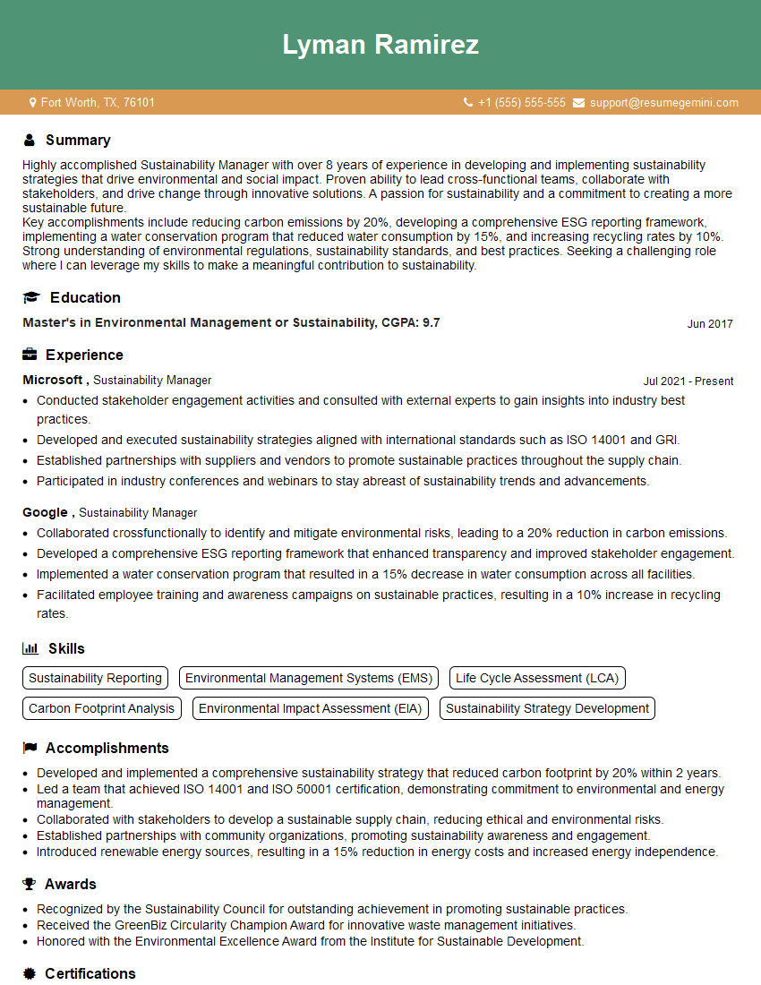
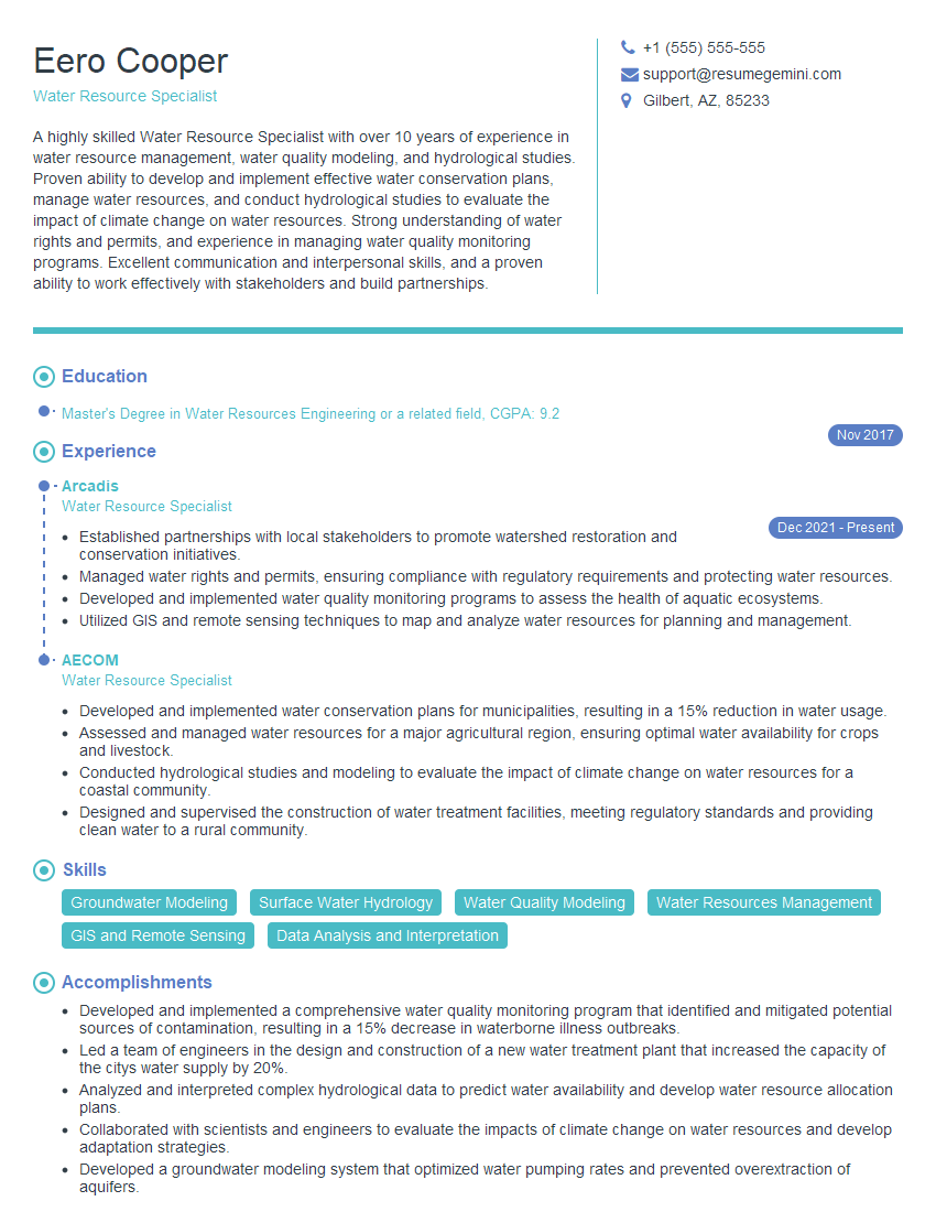
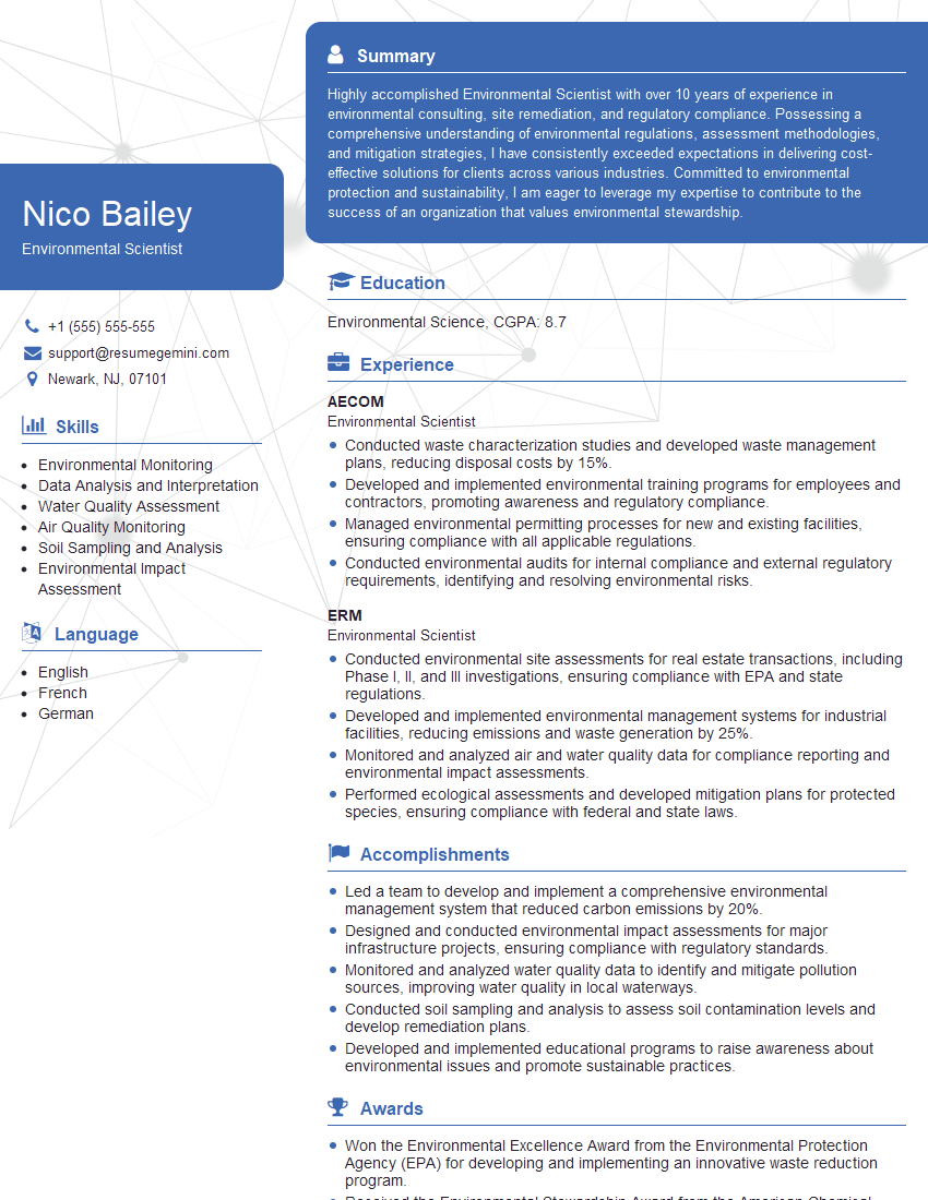
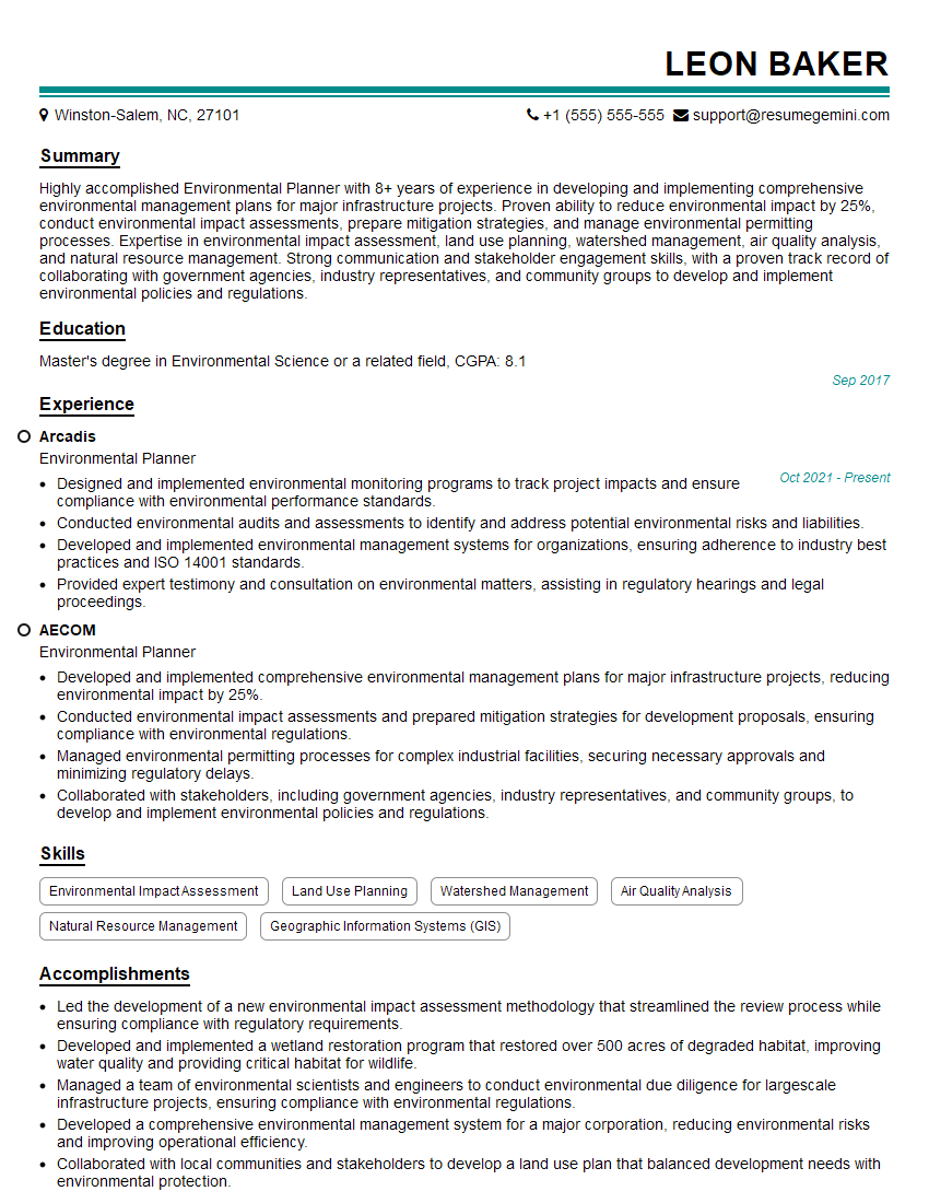
Mastering Ecosystem Assessment is crucial for a successful and rewarding career in environmental science, conservation, and sustainability. A strong understanding of these principles opens doors to diverse and impactful roles within government agencies, non-profit organizations, and the private sector. To maximize your job prospects, focus on building an ATS-friendly resume that effectively highlights your skills and experience. ResumeGemini is a trusted resource that can help you create a professional and impactful resume tailored to the specific requirements of Ecosystem Assessment roles. Examples of resumes tailored to this field are available to guide your resume creation process.
Explore more articles
Users Rating of Our Blogs
Share Your Experience
We value your feedback! Please rate our content and share your thoughts (optional).
What Readers Say About Our Blog
good
