The right preparation can turn an interview into an opportunity to showcase your expertise. This guide to Exploration and Development Geology interview questions is your ultimate resource, providing key insights and tips to help you ace your responses and stand out as a top candidate.
Questions Asked in Exploration and Development Geology Interview
Q 1. Explain the difference between exploration and development geology.
Exploration geology focuses on finding and evaluating the economic potential of undiscovered hydrocarbon accumulations. It’s like being a treasure hunter, searching for promising areas where oil and gas might reside. This involves regional-scale studies, geological mapping, geophysical surveys (like seismic), and geochemical analyses to identify potential traps and reservoirs. Development geology, on the other hand, takes over once a discovery has been made. It’s the engineering phase where we optimize extraction. This involves detailed reservoir characterization, well planning, production monitoring, and reservoir management to maximize hydrocarbon recovery. Think of exploration as finding the gold mine, and development as efficiently extracting the gold.
Q 2. Describe your experience with geological mapping and interpretation.
My experience in geological mapping and interpretation spans over ten years, encompassing various scales from regional reconnaissance mapping to detailed prospect-scale studies. I’ve utilized various techniques, including field mapping using GPS and geological compasses, remote sensing (satellite imagery and aerial photos), and GIS (Geographic Information Systems) for data integration and analysis. For example, during a project in the Bakken formation, I used detailed outcrop mapping to understand the stratigraphy and structural geology, integrating this with well logs and seismic data to build a 3D geological model. This helped define the distribution and geometry of reservoir units and ultimately improved drilling success rates.
Interpretation involves analyzing geological data to understand the subsurface. This includes identifying structural features like faults and folds, interpreting stratigraphic patterns to understand depositional environments, and understanding the relationships between different rock units. I’m proficient in using various software packages, such as Petrel and ArcGIS, for data visualization and interpretation.
Q 3. How do you evaluate the economic viability of a potential exploration target?
Evaluating the economic viability of an exploration target is a complex process that involves a multitude of factors. It’s not just about the presence of hydrocarbons; it’s about whether extracting them will be profitable. I typically use a multi-stage approach:
- Resource estimation: Determining the volume of hydrocarbons in place using geological models and geophysical data. This often involves using volumetric calculations and uncertainty analysis.
- Cost estimation: Projecting all costs associated with exploration, development (drilling wells, pipelines, processing facilities), and production. This requires considering factors like drilling costs, operating expenses, and regulatory compliance.
- Price forecasting: Predicting future hydrocarbon prices, accounting for market volatility and long-term trends. This is crucial as price fluctuations directly impact profitability.
- Risk assessment: Identifying and quantifying the geological, technical, and commercial risks associated with the project. This could include uncertainties in resource estimation, drilling success rates, and operational challenges.
- Economic analysis: Using Discounted Cash Flow (DCF) analysis or other economic models to assess the project’s profitability. This involves calculating Net Present Value (NPV) and Internal Rate of Return (IRR) to determine if the project meets the company’s financial criteria.
Ultimately, the decision to proceed with development hinges on a careful evaluation of all these factors and a sound understanding of the uncertainties involved.
Q 4. What are the key factors influencing reservoir quality?
Reservoir quality refers to the ability of a rock formation to store and transmit hydrocarbons. Several key factors influence this:
- Porosity: The percentage of void space in the rock. Higher porosity generally means more storage capacity.
- Permeability: The interconnectedness of the pore spaces, determining how easily fluids can flow through the rock. High permeability is essential for efficient hydrocarbon production.
- Lithology: The type of rock and its composition. Sandstones are typically excellent reservoir rocks due to their high porosity and permeability, while shales can also be productive but require advanced extraction techniques.
- Fluid saturation: The proportion of hydrocarbons versus water in the pore spaces. Higher hydrocarbon saturation translates to greater recoverable resources.
- Depth and pressure: Reservoir pressure and temperature influence the physical properties of the hydrocarbons and the rock matrix.
- Fractures: Natural fractures can significantly enhance permeability, particularly in tight reservoirs.
For example, a sandstone with high porosity and permeability, high hydrocarbon saturation, and located at a depth that allows for economic extraction would represent a high-quality reservoir.
Q 5. Explain your understanding of different types of traps (structural, stratigraphic).
Hydrocarbon traps are geological formations that prevent hydrocarbons from migrating to the surface. There are two main types:
- Structural traps: These are formed by deformation of the earth’s crust, creating folds (anticlines and synclines) and faults that act as barriers to hydrocarbon migration. Imagine a bowl-shaped structure where hydrocarbons accumulate at its apex.
- Stratigraphic traps: These are formed by variations in rock layers, such as unconformities, pinch-outs, and permeability changes within the reservoir. For instance, hydrocarbons could be trapped where a porous sandstone lens is surrounded by impermeable shale.
Often, traps are a combination of structural and stratigraphic elements, creating complex accumulation patterns. Understanding trap types is fundamental in exploration, as it directly influences drilling location and success rates.
Q 6. Describe your experience with well log interpretation.
Well log interpretation is crucial for understanding subsurface properties and reservoir characteristics. I’m experienced in interpreting various types of well logs, including:
- Gamma ray logs: Measure natural radioactivity and help identify lithology.
- Neutron porosity logs: Determine porosity based on neutron interactions.
- Density logs: Measure bulk density, also providing porosity information.
- Resistivity logs: Measure the electrical conductivity of the formation, helping to differentiate between hydrocarbons and water.
By integrating data from different logs, we can build detailed reservoir models showing porosity, permeability, hydrocarbon saturation, and other crucial parameters. For example, I once used well log data to identify a previously unrecognized reservoir zone, increasing the reserve estimate for a producing field by 15%. This involved identifying a subtle change in resistivity logs that indicated the presence of hydrocarbons in a thin sandstone layer. Software like Interactive Petrophysics (IP) is vital for this kind of advanced analysis.
Q 7. How do you use seismic data in exploration and development?
Seismic data is a cornerstone of exploration and development geology. It provides a 3D image of the subsurface, allowing us to identify structural features like faults and folds, map stratigraphic layers, and locate potential hydrocarbon traps. In exploration, seismic data helps identify promising areas for drilling, reducing exploration risk. For example, I used 3D seismic data to map a complex fault system in a deepwater setting, allowing us to accurately delineate the extent of a potential reservoir and optimize well placement.
In development, seismic data improves our understanding of reservoir architecture, helping optimize well placement and production strategies. We can use seismic attributes, such as amplitude and reflectivity, to characterize reservoir properties and identify areas of potential bypassed oil or gas. Seismic inversion techniques are also used to create higher-resolution images of the subsurface, allowing for more precise reservoir modelling. The integration of seismic data with geological models and well log data creates a comprehensive understanding of the reservoir, enhancing efficiency and increasing production.
Q 8. What are your preferred methods for subsurface modeling?
Subsurface modeling is the process of creating a three-dimensional representation of the subsurface geology, including rock properties, fluid content, and structural features. My preferred methods depend on the data available and the specific geological problem, but generally involve a combination of techniques.
Structural Modeling: I frequently use techniques like fault interpretation and horizon mapping, often employing software like Petrel or Kingdom. For example, I might use seismic interpretation to define major fault planes and then create a 3D model that incorporates these faults and their impact on reservoir geometry. This is crucial for understanding fluid flow pathways.
Property Modeling: This involves assigning properties like porosity, permeability, and saturation to the 3D model. This often utilizes geostatistical methods like kriging or sequential Gaussian simulation, which consider the spatial correlation of data. For instance, if we have well log data showing high porosity in a specific zone, we can use geostatistics to predict porosity in the surrounding areas based on the geological context.
Geocellular Modeling: This creates a grid-based model, dividing the subsurface into cells with assigned properties. This is essential for reservoir simulation and numerical modeling of fluid flow. I’ve extensively used this for optimizing well placement strategies, predicting production performance, and assessing reserves.
Ultimately, the goal is to create a geologically realistic and quantitatively accurate representation of the subsurface that can be used for decision-making in exploration and development.
Q 9. How do you assess reservoir uncertainty and risk?
Assessing reservoir uncertainty and risk is crucial for making informed decisions. We employ a multi-faceted approach that combines:
Probabilistic Modeling: This involves assigning probability distributions to key parameters like porosity, permeability, and hydrocarbon saturation. Monte Carlo simulations are frequently used to generate multiple realizations of the reservoir model, each with different property values. This gives a range of possible outcomes, rather than just a single ‘best guess’.
Sensitivity Analysis: We identify the parameters that most strongly influence the reservoir’s performance. This helps focus efforts on data acquisition and further analysis where it’s most impactful. For example, identifying a parameter with high uncertainty and a significant influence on production is a top priority for risk mitigation.
Risk Assessment: We use techniques like qualitative risk assessment (e.g., identifying potential hazards and assigning probabilities) and quantitative risk assessment (e.g., calculating the expected monetary value of different outcomes). This provides a clear picture of the potential upside and downside of a particular project.
Scenario Planning: We explore different scenarios – optimistic, pessimistic, and most likely – to fully understand the range of potential outcomes. This allows for more robust decision-making, even under uncertainty.
For example, in one project we used probabilistic modeling to demonstrate that the risk of low permeability was outweighed by the potential for significant reserves, leading to investment in further appraisal drilling.
Q 10. Explain your experience with geological data analysis and interpretation software.
I’m proficient in several geological data analysis and interpretation software packages. My experience includes:
Petrel: Extensive experience in building 3D geological models, seismic interpretation, well log analysis, and reservoir simulation workflows. I’ve used it for everything from prospect generation to reservoir management.
Kingdom: Proficient in seismic interpretation, attribute analysis, and structural modeling. I’ve used this particularly for complex structural settings and the integration of various seismic data types.
PowerLog: Expert in well log analysis, including log interpretation, petrophysical calculations, and facies analysis. I regularly use this to derive key reservoir properties from well logs.
IHS Kingdom: Experienced in accessing and utilizing large datasets from this platform, including well data, seismic data, and geological reports.
My expertise extends beyond just using these tools; I understand the underlying geological principles and the limitations of each software package. I’m capable of integrating data from diverse sources, ensuring consistency and accuracy in my interpretations.
Q 11. Describe your experience with different types of drilling techniques.
My experience encompasses various drilling techniques, each tailored to specific geological conditions and objectives:
Rotary Drilling: This is the most common method, using a rotating drill bit to penetrate the earth. I’ve worked on projects utilizing both air and mud drilling systems, understanding the advantages and disadvantages of each for different formations and wellbore stability concerns.
Directional Drilling: This allows for the deviation of a wellbore from the vertical, enabling access to multiple targets from a single surface location, maximizing reservoir contact. I’ve been involved in planning and monitoring directional drilling operations, including the use of measurement while drilling (MWD) tools for precise wellbore placement.
Horizontal Drilling: This technique involves drilling a wellbore horizontally through a reservoir, significantly increasing contact with the productive formation. I have experience in designing and evaluating horizontal well completions for enhanced oil recovery.
Underbalanced Drilling: This involves maintaining a lower pressure in the wellbore than the formation pressure, which can help reduce formation damage and improve productivity, especially in sensitive formations. I understand the risks and operational complexities involved.
My understanding extends to the selection of appropriate drilling fluids, casing programs, and drilling parameters to minimize risks and optimize drilling efficiency.
Q 12. How do you manage geological data effectively?
Effective geological data management is critical for efficient exploration and development. My approach involves:
Database Management: I utilize relational databases (e.g., SQL Server) and specialized geological databases (e.g., Petrel databases) to store and organize geological data, ensuring data integrity and accessibility. This facilitates efficient querying and reporting.
Data Standardization: I implement standardized data formats and naming conventions to ensure consistency and compatibility between different datasets. This minimizes errors and allows for seamless data integration.
Data Validation: I employ quality control measures to ensure accuracy and completeness of data. This involves checking for inconsistencies, errors, and outliers. For example, I’d check for conflicts between well log data and seismic interpretations.
Data Visualization: I create maps, cross-sections, and other visualizations to facilitate data interpretation and communication of results. This helps to identify patterns and trends that might be missed by just looking at raw data.
Cloud Storage and Collaboration: I utilize cloud-based platforms to store and share data securely and efficiently. This promotes collaboration among team members and stakeholders.
A well-organized and easily accessible database is fundamental to efficient and effective decision-making in exploration and development.
Q 13. Describe your experience with reservoir simulation.
Reservoir simulation is a powerful tool for predicting reservoir behavior and optimizing production strategies. My experience involves:
Black Oil Simulation: I’ve used this method for simulating oil and gas reservoirs, particularly for understanding fluid flow and pressure depletion.
Compositional Simulation: For more complex reservoirs with volatile components, I’ve utilized compositional simulation to accurately model phase behavior and predict production performance.
Thermal Simulation: I have experience simulating enhanced oil recovery (EOR) processes such as steam injection, where temperature changes significantly affect reservoir properties and fluid flow.
History Matching: This crucial step involves calibrating simulation models against historical production data to ensure accuracy and reliability. This often requires iterative adjustment of reservoir parameters.
I understand the limitations of reservoir simulation and the need to incorporate uncertainty analysis to account for the inherent variability in reservoir properties. For example, in one project, history matching was used to improve the accuracy of a model used to evaluate the potential of a steam-assisted gravity drainage (SAGD) project.
Q 14. Explain your understanding of different types of sedimentary rocks and their implications for reservoir properties.
Understanding different types of sedimentary rocks is fundamental to reservoir characterization. Their properties directly influence reservoir quality and production potential. Here are some key examples:
Sandstones: These are often excellent reservoir rocks, characterized by high porosity and permeability due to their granular nature. However, the size and sorting of sand grains, as well as the presence of cement, significantly affect reservoir quality. Well-sorted, coarse-grained sandstones with minimal cement typically exhibit superior reservoir properties.
Carbonates: These rocks (limestones and dolomites) can be excellent reservoirs, but their porosity and permeability are often controlled by diagenetic processes (post-depositional changes) like dolomitization and fracturing. Fractured carbonates can exhibit excellent flow properties despite potentially low matrix permeability.
Shales: These fine-grained rocks usually have low permeability and act as seals or barriers to fluid flow. However, recent advancements in unconventional reservoir development have exploited the significant hydrocarbon potential locked within shale formations through hydraulic fracturing. Understanding shale mineralogy and organic matter content is critical in such projects.
In exploration, identifying the rock type and understanding its diagenetic history is critical in assessing a prospect’s potential. Poorly cemented sandstones or highly fractured carbonates, for example, would represent favorable reservoir targets.
Q 15. How do you integrate geological data with other disciplines (e.g., geophysics, engineering)?
Integrating geological data with other disciplines is crucial for successful exploration and development. It’s like assembling a puzzle where each piece represents different data types. Geology provides the foundational framework – the rock types, structures, and stratigraphy. Geophysics offers subsurface images and properties (seismic, gravity, magnetic data) that help us visualize what’s beneath the surface. Engineering contributes the practical considerations for drilling, well construction, and production optimization.
- Example: We might use seismic data (geophysics) to identify potential reservoir structures. Geological analysis of well cuttings and cores then confirms the lithology and porosity of the reservoir rocks. This information is then used by reservoir engineers to model fluid flow and optimize production strategies.
- Software Integration: Tools like Petrel, Kingdom, and OpenWorks allow for seamless integration of different data types into a 3D model, facilitating interpretation and analysis.
- Collaboration: Effective integration requires strong collaboration. Regular meetings and data sharing among geologists, geophysicists, and engineers are essential for successful project execution.
Career Expert Tips:
- Ace those interviews! Prepare effectively by reviewing the Top 50 Most Common Interview Questions on ResumeGemini.
- Navigate your job search with confidence! Explore a wide range of Career Tips on ResumeGemini. Learn about common challenges and recommendations to overcome them.
- Craft the perfect resume! Master the Art of Resume Writing with ResumeGemini’s guide. Showcase your unique qualifications and achievements effectively.
- Don’t miss out on holiday savings! Build your dream resume with ResumeGemini’s ATS optimized templates.
Q 16. Describe your experience with resource estimation and reporting.
My experience in resource estimation and reporting spans various projects, from conventional to unconventional reservoirs. I’m proficient in using industry-standard software and methodologies to assess hydrocarbon reserves and resources. The process typically involves:
- Data Compilation: Gathering all relevant geological, geophysical, and engineering data (e.g., well logs, core data, production data).
- Geological Modeling: Creating 3D geological models representing the subsurface reservoir geometry and properties.
- Petrophysical Analysis: Determining reservoir rock properties like porosity, permeability, and water saturation from well log data.
- Reserve Estimation: Using volumetric or material balance methods to estimate hydrocarbon volumes in place, recoverable reserves, and uncertainties.
- Reporting: Preparing comprehensive reports following industry standards (e.g., SPE PRMS) that clearly present the estimation results, associated uncertainties, and limitations.
I have personally been involved in several projects where I’ve successfully estimated reserves for both oil and gas fields, leading to informed decision-making regarding field development planning and investment decisions.
Q 17. How do you handle conflicting geological interpretations?
Conflicting geological interpretations are common and often arise due to limited data, ambiguities in data interpretation, or the complexity of subsurface systems. Resolving these conflicts requires a systematic and objective approach:
- Data Review: Thoroughly review all available data to identify potential sources of error or bias.
- Alternative Hypotheses: Develop multiple interpretations considering different geological scenarios.
- Quantitative Analysis: Use quantitative methods (e.g., statistical analysis) to evaluate the validity of different interpretations.
- Peer Review: Seek input from other experienced geologists for an independent assessment.
- Additional Data Acquisition: If uncertainties remain, acquiring additional data (e.g., new wells, seismic surveys) may be necessary to resolve the conflicts.
The key is to remain open-minded and consider all available evidence. Sometimes a compromise or integrated interpretation is necessary, acknowledging the uncertainties involved.
Q 18. Describe a challenging geological problem you’ve solved.
One challenging project involved a fractured carbonate reservoir with complex faulting. Initial interpretations suggested poor reservoir quality, leading to a low resource estimate. However, I noticed inconsistencies between seismic data and well test results.
Problem-Solving Approach:
- Detailed Seismic Analysis: I performed a more detailed analysis of the 3D seismic data, focusing on subtle features that indicated the presence of fractures.
- Fracture Characterization: I incorporated image logs and core data to characterize the fracture network’s orientation, density, and aperture.
- Reservoir Simulation: Using a reservoir simulation model, I integrated the fracture network data to assess its impact on reservoir productivity.
The revised model, incorporating the fracture network, significantly improved the resource estimate, resulting in a successful field development plan.
Q 19. Explain your understanding of hydrocarbon migration and accumulation.
Hydrocarbon migration and accumulation are fundamental processes in petroleum geology. Imagine hydrocarbons as bubbles rising through a layer cake.
Generation: Hydrocarbons are generated from organic matter buried within sedimentary rocks under specific temperature and pressure conditions. Think of this as the baking process.
Migration: Once generated, hydrocarbons migrate through porous and permeable rocks until they encounter a trap. This is like the bubbles rising through the cake layers.
Accumulation: A trap is a geological structure that prevents further migration, allowing hydrocarbons to accumulate. Think of this as the bubbles getting trapped within the cake layers, forming pockets.
Key Elements:
- Source Rock: Rock containing sufficient organic matter to generate hydrocarbons.
- Reservoir Rock: Porous and permeable rock that can store and transmit hydrocarbons.
- Seal Rock: Impermeable rock that prevents the upward migration of hydrocarbons.
- Trap: Geological structure that traps hydrocarbons (e.g., anticline, fault trap).
Understanding these processes is crucial for successful exploration as it helps identify potential hydrocarbon accumulations.
Q 20. How do you ensure the accuracy and reliability of geological data?
Ensuring the accuracy and reliability of geological data is paramount. It’s like building a house – a shaky foundation will lead to a weak structure.
- Data Acquisition and Processing: Employing rigorous quality control procedures during data acquisition (e.g., well logging, core analysis, seismic surveys) and processing.
- Data Validation: Verifying data against independent sources and cross-checking for consistency.
- Uncertainty Analysis: Quantifying the uncertainties associated with the data and their impact on interpretations.
- Data Management: Implementing a robust data management system to ensure data integrity and accessibility.
- Calibration and Verification: Regularly calibrating and verifying equipment and methods used for data acquisition and analysis.
By following these steps, we can minimize errors and biases, ensuring the geological data provides a reliable basis for decision-making.
Q 21. What are the key geological factors that control the production of hydrocarbons?
Several key geological factors control hydrocarbon production. They all interact, making it a complex system. Imagine a complex plumbing system where each part plays a vital role:
- Reservoir Rock Properties: Porosity (storage capacity) and permeability (flow capacity) directly impact how easily hydrocarbons can be extracted. A high porosity and permeability reservoir is more productive.
- Reservoir Pressure and Temperature: These factors affect the phase behavior of hydrocarbons (oil, gas) and drive the flow of fluids to the wellbore.
- Fluid Properties: The viscosity, density, and composition of the hydrocarbons affect their mobility and flow characteristics.
- Drive Mechanisms: The forces that drive hydrocarbons to the wellbore, such as water drive, gas cap drive, or solution gas drive, significantly impact production rates.
- Fractures and Faults: These features enhance permeability, sometimes significantly increasing productivity. But, they can also compartmentalize the reservoir making it more challenging to produce.
- Seal Integrity: A good seal is essential to prevent hydrocarbon leakage. A compromised seal may lead to reduced reserves.
Understanding the interplay of these factors is essential for predicting and optimizing hydrocarbon production.
Q 22. Describe your experience with environmental regulations related to exploration and development.
Environmental regulations are paramount in exploration and development geology. My experience encompasses a thorough understanding and application of regulations like the National Environmental Policy Act (NEPA) in the US, and equivalent legislation in other regions. This includes conducting environmental impact assessments (EIAs), preparing environmental management plans (EMPs), and ensuring compliance throughout the project lifecycle. I’ve been directly involved in:
- Permitting: Working with regulatory agencies to obtain necessary permits for exploration activities such as seismic surveys, drilling, and waste disposal.
- Mitigation Strategies: Developing and implementing strategies to mitigate potential environmental impacts, such as habitat disturbance, water pollution, and greenhouse gas emissions. For example, on a recent project in a sensitive wetland area, we employed directional drilling techniques to minimize surface disturbance and implemented robust water treatment systems to prevent contamination.
- Monitoring and Reporting: Conducting regular environmental monitoring, collecting data, and preparing reports to demonstrate compliance with regulations. This often involves collaborating with environmental specialists and ensuring transparent reporting to stakeholders.
A key aspect of my work is proactively identifying potential environmental risks and incorporating best practices to prevent issues before they arise. This preventative approach minimizes delays, costs, and potential reputational damage.
Q 23. Explain your experience with different types of geological software (e.g., Petrel, Kingdom).
I’m proficient in several geological software packages, including Petrel and Kingdom, which are industry standards for subsurface modeling and interpretation. My experience with these programs includes:
- Petrel: I’ve utilized Petrel extensively for seismic interpretation, well log analysis, reservoir modeling, and creating 3D geological models. I’m comfortable working with various data types and applying different workflows to achieve accurate subsurface representations. For instance, I used Petrel to build a detailed reservoir model for a recent carbonate reservoir project, incorporating seismic data, well logs, and core data to predict reservoir properties and optimize well placement.
- Kingdom: I’ve used Kingdom for its powerful capabilities in structural interpretation and mapping, particularly in complex geological settings. It excels in handling large datasets and generating high-quality visualizations, essential for communicating geological interpretations to a wider audience. For example, I leveraged Kingdom’s capabilities to interpret complex fault systems in a shale gas play, which was crucial for identifying sweet spots and optimizing drilling locations.
Beyond Petrel and Kingdom, I have also worked with other software like ArcGIS for geospatial analysis and Leapfrog Geo for 3D geological modeling in challenging terrains.
Q 24. How do you stay up-to-date with the latest advancements in Exploration and Development Geology?
Staying current in Exploration and Development Geology requires continuous learning. I actively engage in several strategies to remain up-to-date:
- Professional Societies: I am an active member of the American Association of Petroleum Geologists (AAPG) and the Society of Exploration Geophysicists (SEG), attending conferences and workshops to learn about the latest research and technologies.
- Publications and Journals: I regularly read peer-reviewed journals like the AAPG Bulletin, the Journal of Petroleum Geology, and other relevant publications to stay informed about advancements in geological techniques and interpretations.
- Online Courses and Webinars: I participate in online courses and webinars offered by various universities and professional organizations to enhance my skills in specific areas, such as advanced seismic interpretation or reservoir simulation.
- Industry Conferences and Events: Attending conferences and workshops provides invaluable opportunities for networking and learning about emerging trends directly from experts.
By combining these methods, I maintain a robust understanding of the latest advancements in my field and ensure my skillset remains relevant and competitive.
Q 25. Describe your experience with health and safety procedures in field operations.
Health and safety are paramount in field operations. My experience includes a strong understanding and adherence to industry best practices and regulatory requirements. This includes:
- Risk Assessment: Participating in detailed risk assessments before any field operation to identify and mitigate potential hazards. This often includes considering geological hazards (e.g., unstable ground, gas emissions) and environmental factors (e.g., extreme weather).
- Emergency Response Planning: Developing and participating in emergency response plans, including procedures for dealing with incidents such as well control events, medical emergencies, and equipment failures. I’ve participated in several emergency response drills, ensuring readiness and competency in such situations.
- Personal Protective Equipment (PPE): Ensuring consistent and appropriate use of PPE such as hard hats, safety glasses, and hearing protection, and enforcing safety regulations on-site. This also includes familiarity with emergency shut-down procedures and evacuation protocols.
- Safety Training: I’ve completed relevant safety training courses, including those covering hazard identification, risk assessment, and emergency response procedures. I also proactively participate in safety meetings and provide safety-related training to colleagues.
My commitment to safety stems from the understanding that a safe working environment is essential for the successful completion of any project and most importantly, the well-being of everyone involved.
Q 26. What are your career goals in Exploration and Development Geology?
My career goals center around becoming a recognized expert in unconventional resource exploration and development. I aim to contribute to the advancement of geological understanding and technology in this rapidly evolving field. Specifically, I am interested in:
- Leadership Roles: I aspire to take on leadership positions where I can mentor junior geologists and contribute to the strategic direction of exploration and development projects.
- Research and Innovation: I would like to be involved in research projects focusing on improving geological modeling techniques and developing new technologies for characterizing and exploiting unconventional reservoirs.
- International Collaboration: I’m eager to collaborate with international teams on complex geological projects, expanding my understanding of diverse geological settings and contributing to global energy security.
Ultimately, I want to leverage my skills and experience to contribute to sustainable and responsible energy resource management.
Q 27. Explain your understanding of different types of geological structures (e.g., faults, folds).
Geological structures are fundamental to understanding subsurface geology and their influence on hydrocarbon accumulation. My understanding encompasses various types, including:
- Faults: Faults are fractures in the Earth’s crust where rocks on either side have moved past each other. Understanding fault geometry (e.g., dip, strike, displacement) is crucial for reservoir characterization. Fault types, such as normal, reverse, and strike-slip faults, control fluid flow and compartmentalization within reservoirs. For example, in a recent project, detailed fault mapping helped us to delineate reservoir compartments, optimizing well placement strategies.
- Folds: Folds are bends or curves in rock layers, often formed during tectonic compression. Different fold types, such as anticlines (upward folds) and synclines (downward folds), create structural traps for hydrocarbons. Understanding fold geometry and kinematics is critical in identifying potential hydrocarbon accumulations. For example, interpreting the geometry of a large anticline helped locate a significant hydrocarbon reservoir.
- Other Structures: Beyond faults and folds, I also possess expertise in interpreting other geological structures like unconformities (erosional surfaces), salt diapirs (upward intrusions of salt), and stratigraphic traps (hydrocarbon traps formed by variations in rock layers).
My approach to analyzing geological structures involves integrating data from various sources, such as seismic data, well logs, and outcrop studies, to create accurate and comprehensive geological models.
Q 28. Describe your experience with core analysis and thin section interpretation.
Core analysis and thin section interpretation are essential for detailed reservoir characterization. My experience involves:
- Core Analysis: I’ve conducted various core analyses, including porosity and permeability measurements, capillary pressure measurements, and rock mechanical testing. These analyses provide crucial data for understanding reservoir properties, such as fluid flow and storage capacity. For instance, I’ve used core analysis data to determine the relative permeability of different fluids in a reservoir, which is critical for optimizing production strategies.
- Thin Section Interpretation: I have significant experience interpreting petrographic thin sections under a microscope, identifying different rock types, determining their depositional environment, and assessing their diagenetic history. This information provides insight into the reservoir’s formation, its potential for hydrocarbon accumulation, and its overall quality. For example, using thin section analysis, I identified microfractures in a reservoir rock, indicating enhanced permeability and production potential.
My approach to core analysis and thin section interpretation is always integrated with other geological data, such as well logs and seismic data, to build a comprehensive understanding of the reservoir’s characteristics.
Key Topics to Learn for Exploration and Development Geology Interview
- Sedimentary Basin Analysis: Understanding depositional environments, stratigraphy, and basin modeling to predict subsurface geology and resource potential. Practical application includes interpreting well logs and seismic data to identify prospective hydrocarbon traps.
- Structural Geology: Analyzing fault systems, folds, and other tectonic features to understand reservoir geometry and potential for fluid migration. Practical application involves using geological mapping and structural interpretation software to model subsurface structures.
- Reservoir Characterization: Defining the physical properties of hydrocarbon reservoirs, including porosity, permeability, and fluid saturation. Practical application includes integrating well test data, core analysis, and seismic attributes to create reservoir models.
- Petrophysics: Interpreting well log data to determine lithology, porosity, permeability, and fluid saturation. Practical application involves using petrophysical software to quantify reservoir properties and estimate hydrocarbon reserves.
- Exploration Geophysics: Understanding seismic surveys, gravity surveys, and magnetic surveys to image subsurface structures and identify potential hydrocarbon traps. Practical application includes interpreting seismic data to identify potential drilling locations.
- Geological Modeling: Building 3D geological models to integrate various datasets and predict subsurface geology. Practical application includes using geological modeling software to create realistic representations of reservoirs.
- Resource Estimation and Reserve Evaluation: Quantifying the amount of hydrocarbons in a reservoir using volumetric and probabilistic methods. Practical application involves using industry-standard software and techniques to assess the economic viability of a project.
- Drilling and Completion: Understanding the process of drilling and completing wells to access hydrocarbon reservoirs. Practical application includes optimizing well placement and completion strategies to maximize production.
- Environmental Considerations: Understanding the environmental impact of exploration and production activities and implementing mitigation strategies. Practical application includes adhering to environmental regulations and minimizing the ecological footprint.
Next Steps
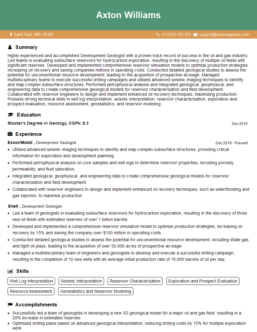
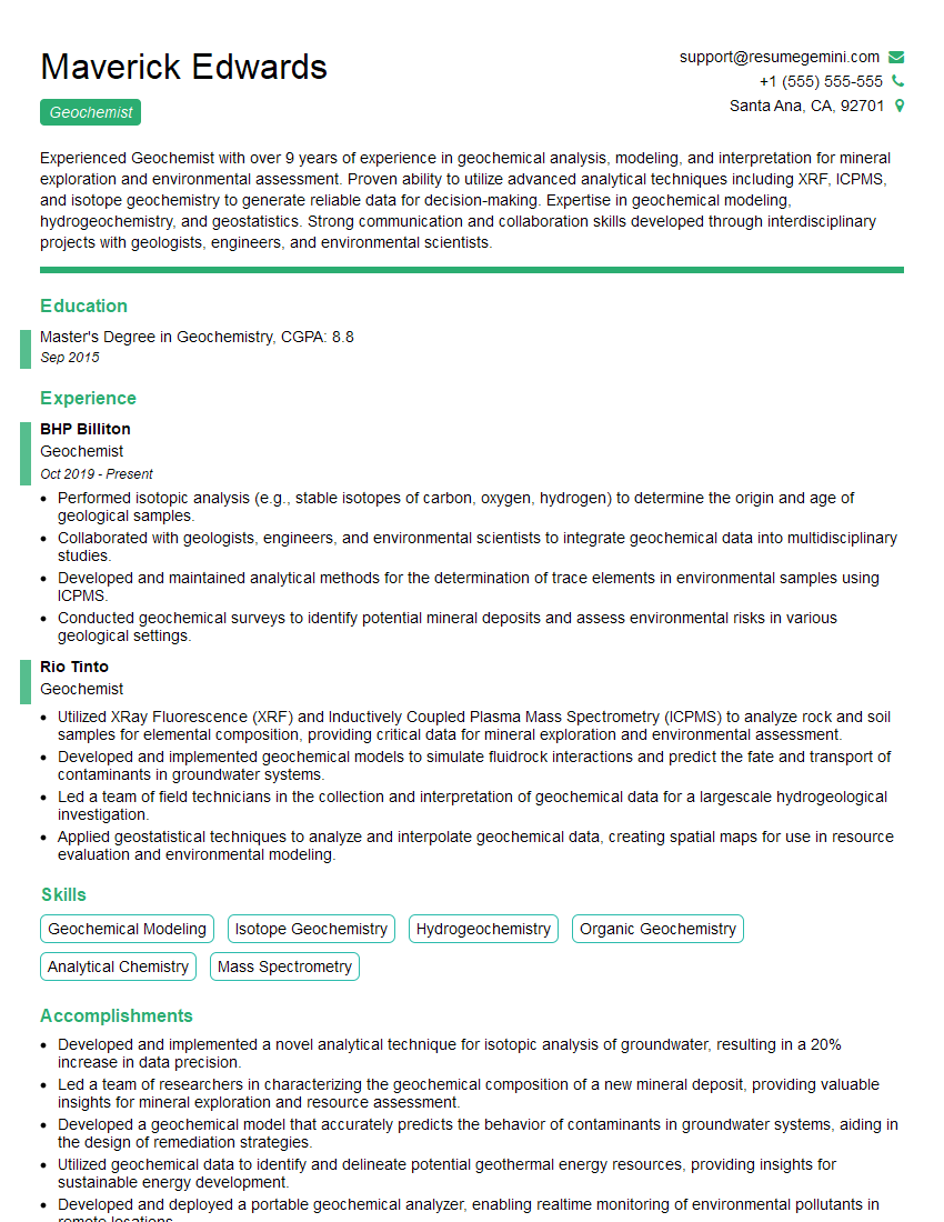
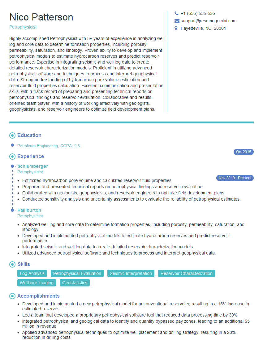
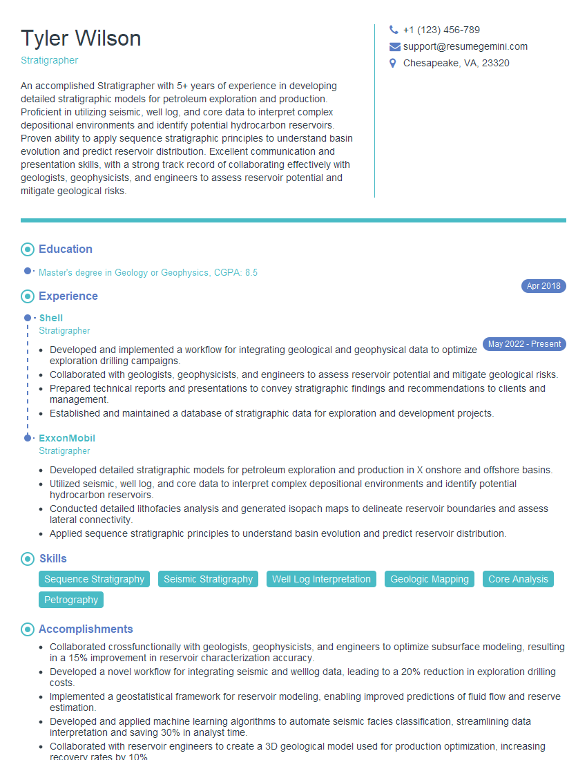
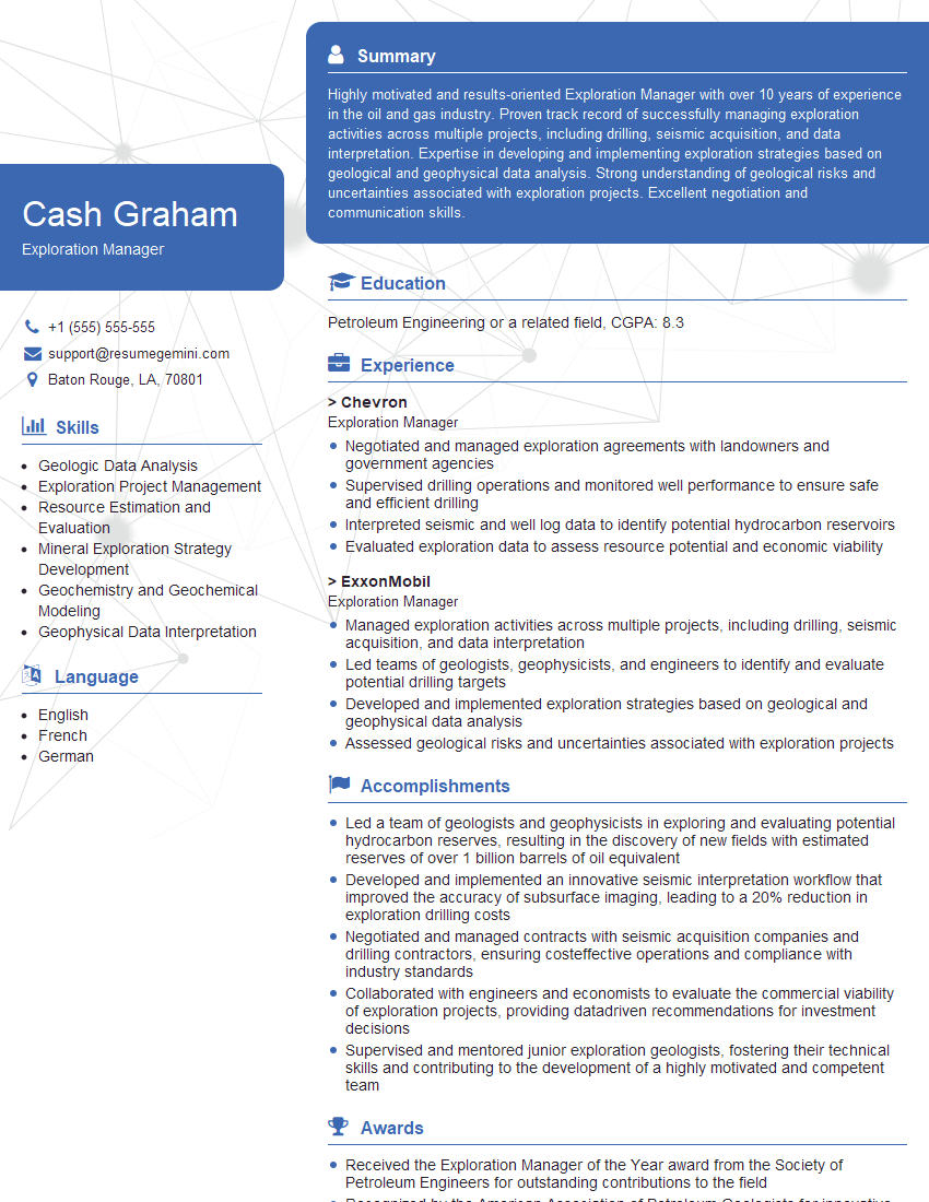
Mastering Exploration and Development Geology is crucial for a successful and rewarding career in the energy industry. A strong understanding of these key concepts will significantly enhance your interview performance and open doors to exciting opportunities. To further improve your job prospects, creating a compelling and ATS-friendly resume is paramount. ResumeGemini is a trusted resource to help you build a professional and effective resume that highlights your skills and experience. Examples of resumes tailored to Exploration and Development Geology are available to guide you.
Explore more articles
Users Rating of Our Blogs
Share Your Experience
We value your feedback! Please rate our content and share your thoughts (optional).
