Interviews are opportunities to demonstrate your expertise, and this guide is here to help you shine. Explore the essential Geology and Natural History Interpretation interview questions that employers frequently ask, paired with strategies for crafting responses that set you apart from the competition.
Questions Asked in Geology and Natural History Interpretation Interview
Q 1. Explain the rock cycle and its significance.
The rock cycle is a fundamental concept in geology illustrating the continuous transformation of rocks from one type to another through various geological processes. Imagine it as a never-ending loop, with rocks constantly being formed, broken down, and reformed over millions of years.
The three main rock types involved are:
- Igneous rocks: Formed from the cooling and solidification of molten rock (magma or lava). Examples include granite (from magma) and basalt (from lava). Their texture often reflects cooling rate: slow cooling leads to larger crystals (like granite), while rapid cooling results in fine-grained or glassy textures (like obsidian).
- Sedimentary rocks: Formed from the accumulation and cementation of sediments (fragments of pre-existing rocks, minerals, or organic matter). Think of a river carrying sand and pebbles—over time, these deposits compact and harden into sedimentary rock like sandstone (from sand) or shale (from mud). These rocks often show layering (stratification), reflecting periods of deposition.
- Metamorphic rocks: Formed from the transformation of pre-existing rocks (igneous, sedimentary, or even other metamorphic rocks) due to intense heat and pressure. Marble (from limestone) and slate (from shale) are excellent examples. These rocks often exhibit foliation, a banding pattern created by the alignment of mineral crystals under pressure.
Significance: Understanding the rock cycle is crucial for interpreting Earth’s history, understanding mineral resource formation, and predicting geological hazards. For instance, knowing the rock type can help us assess the stability of a slope for construction or understand the potential for groundwater resources in a particular area.
Q 2. Describe different types of geological maps and their uses.
Geological maps are essential tools for visualizing and interpreting the distribution of rocks, structures, and geological features on the Earth’s surface. Different types cater to specific needs:
- Topographic maps: Show the elevation of the land surface using contour lines. While not strictly geological, they are foundational; geological features are often superimposed on them.
- Geological maps: Show the distribution of different rock types and geological formations. Colors and symbols represent different rock units and geological structures (faults, folds). These maps are fundamental for understanding geological history and resource exploration.
- Geophysical maps: Depict subsurface structures and properties based on geophysical surveys (e.g., gravity, magnetic, seismic). These are invaluable for exploration of oil, gas, and mineral deposits as well as understanding tectonic processes.
- Hydrogeological maps: Focus on groundwater resources, showing aquifer locations, water table levels, and groundwater flow directions. They are critical for water resource management and environmental protection.
- Engineering geological maps: Assess the engineering properties of rocks and soils for construction and infrastructure projects. They provide information crucial for site selection and design.
Uses: Geological maps are used extensively in various applications, including mineral exploration, environmental impact assessments, urban planning, infrastructure development, and geological research. For example, a geologist might use a geological map to identify potential locations for a new mine, while a civil engineer might use an engineering geological map to assess the stability of a proposed dam site.
Q 3. What are the key principles of stratigraphy?
Stratigraphy is the branch of geology that deals with the study of rock layers (strata) and their chronological relationships. Key principles guide its interpretation:
- Superposition: In an undisturbed sequence of rocks, the oldest rocks are at the bottom, and the youngest are at the top. This is a fundamental principle for relative dating.
- Original Horizontality: Sedimentary rocks are originally deposited in horizontal layers. Tilted or folded strata indicate subsequent deformation.
- Lateral Continuity: Sedimentary layers extend laterally in all directions until they thin out or terminate against the edge of a depositional basin. This means that similar strata found in different locations likely originated from the same source.
- Cross-cutting relationships: A geological feature (e.g., fault, dike) that cuts across other features is younger than the features it cuts. This is crucial for determining the relative timing of events.
- Fossil succession: Fossils succeed each other vertically in a specific, reliable order that can be identified over wide horizontal distances. This principle allows for correlation of rock units across vast geographical areas.
Practical Application: Stratigraphic principles are used to construct geological time scales, correlate rock units across regions, and understand the geological history of an area. For example, using fossil succession and superposition, geologists can determine the relative ages of rock layers and reconstruct the environmental changes that occurred over time.
Q 4. How do you identify different types of minerals?
Mineral identification involves a combination of observational and analytical techniques. Key properties to consider include:
- Physical properties:
- Crystal habit: The characteristic shape of a mineral’s crystals (e.g., cubic, prismatic).
- Cleavage: The tendency of a mineral to break along specific planes. The type and quality of cleavage are important.
- Fracture: How a mineral breaks when it does not exhibit cleavage (e.g., conchoidal, uneven).
- Hardness: Resistance to scratching, measured using the Mohs Hardness Scale (1-10, talc to diamond).
- Luster: The way a mineral reflects light (e.g., metallic, vitreous, pearly).
- Color: Can be diagnostic for some minerals, but unreliable for many.
- Streak: The color of the powder produced when a mineral is scratched on a porcelain plate.
- Specific gravity: The ratio of the mineral’s density to the density of water.
- Chemical properties:
- Chemical tests: Specific tests can identify certain elements or chemical compounds within a mineral.
- Optical properties:
- Refractive index: The measure of how much light bends when it passes through a mineral.
- Birefringence: The property of exhibiting double refraction.
In practice: Geologists often use a combination of these properties to identify minerals. A hand lens, a hardness scale, and a streak plate are common tools. More sophisticated techniques like X-ray diffraction can provide definitive identification.
Q 5. Explain the process of fossilization.
Fossilization is the process by which organic remains are preserved in the geological record. It’s a rare event, requiring specific conditions to prevent complete decomposition.
Key steps:
- Rapid burial: Quick covering by sediment is critical to protect the organism from scavengers and decay.
- Lack of oxygen: Oxygen inhibits decomposition; anaerobic (oxygen-free) environments favor preservation.
- Permineralization: Minerals precipitate within the pore spaces of the organism’s remains, filling them with minerals like silica or calcite, creating a hardened fossil.
- Replacement: Original organic material is gradually replaced by minerals, resulting in a fossil that is a mineral replica of the original.
- Molds and casts: The organism decays, leaving a cavity (mold) in the surrounding sediment. This cavity can be filled with minerals (cast), creating a three-dimensional representation.
- Carbonization: Volatile components of the organism escape, leaving behind a thin carbon film.
Examples: The famous dinosaur fossils often represent permineralization, while leaf fossils might be examples of carbonization. Understanding fossilization helps us reconstruct past ecosystems and understand the evolution of life on Earth.
Q 6. Describe the different types of geological time scales.
Geological time scales are representations of Earth’s history, divided into hierarchical units reflecting major geological and biological events. Two main types exist:
- Relative time scale: Organizes geological events chronologically, based on their relative ages (older versus younger). This relies heavily on stratigraphic principles and fossil succession, with units defined by major events or rock formations (e.g., Paleozoic, Mesozoic, Cenozoic Eras).
- Absolute time scale: Provides numerical ages for geological events, usually in millions of years (Ma). This is determined using radiometric dating techniques (e.g., uranium-lead, potassium-argon dating), which measure the decay of radioactive isotopes within minerals. The absolute time scale calibrates the relative time scale, giving numerical ages to the boundaries between geological periods.
The two scales are interconnected: Relative dating provides the framework (the order of events), while absolute dating adds numerical precision. Together, they provide a comprehensive picture of Earth’s history.
Q 7. How do you interpret geological cross-sections?
Geological cross-sections are two-dimensional representations of subsurface geology, showing the arrangement of rock units and geological structures beneath the Earth’s surface. Interpreting them requires careful observation and application of geological principles.
Interpretation steps:
- Identify rock units: Recognize different rock types based on their symbols and patterns.
- Identify geological structures: Recognize faults, folds, and unconformities (gaps in the geological record). Observe their geometry and orientation.
- Apply stratigraphic principles: Use principles of superposition, original horizontality, and cross-cutting relationships to determine the relative ages of rock units and structures.
- Consider the geological context: Integrate information from surface geology maps, well logs, and geophysical data to refine the interpretation.
- Construct a geological history: Based on the interpretation, reconstruct the sequence of events that led to the formation of the observed geological features.
Example: A cross-section might reveal a sequence of sedimentary layers deformed by a fault, indicating tectonic activity following deposition. By carefully analyzing the geometry of the fault and the relationship between the rock units, geologists can infer the timing and nature of the tectonic event.
Q 8. Explain plate tectonics and its impact on geological formations.
Plate tectonics is the theory that Earth’s outer shell is divided into several plates that glide over the mantle, the rocky inner layer above the core. These plates are constantly moving, albeit very slowly – a few centimeters per year. This movement is driven by convection currents in the mantle, where hotter, less dense material rises and cooler, denser material sinks. The interactions at the boundaries of these plates are responsible for most of Earth’s major geological features.
The impact on geological formations is profound. Convergent boundaries, where plates collide, can lead to the formation of mountain ranges (like the Himalayas, formed by the collision of the Indian and Eurasian plates), volcanic arcs (like the Ring of Fire), and deep ocean trenches. Divergent boundaries, where plates move apart, create mid-ocean ridges (like the Mid-Atlantic Ridge) where new crust is formed through volcanic activity. Transform boundaries, where plates slide past each other, cause earthquakes (like those along the San Andreas Fault).
For example, the Appalachian Mountains in North America are a result of ancient continental collisions, a testament to the power of plate tectonics to shape the Earth’s surface over millions of years. Understanding plate tectonics is crucial for predicting earthquakes and volcanic eruptions, managing natural resources, and understanding the distribution of mineral deposits.
Q 9. What are the different types of weathering and erosion?
Weathering and erosion are distinct but related processes that break down and transport Earth’s materials. Weathering is the breakdown of rocks, soils, and minerals at or near the Earth’s surface, while erosion is the transportation of those broken-down materials by natural forces.
- Types of Weathering:
- Physical weathering (also called mechanical weathering) involves the physical disintegration of rocks without changing their chemical composition. Examples include freeze-thaw cycles (water expands when it freezes, fracturing rocks), abrasion (rocks grinding against each other), and exfoliation (peeling away of layers due to pressure release).
- Chemical weathering involves the alteration of the chemical composition of rocks. Examples include oxidation (rusting of iron-bearing minerals), hydrolysis (reaction with water), and carbonation (reaction with carbonic acid).
- Types of Erosion:
- Water erosion is the most significant, involving rainfall, rivers, and ocean waves. Rivers carve valleys and canyons, while ocean waves erode coastlines.
- Wind erosion is prevalent in arid regions, transporting sand and dust over long distances, creating features like sand dunes.
- Glacial erosion involves the movement of glaciers, which can carve out vast landscapes, transporting immense amounts of sediment. The Great Lakes were formed by glacial erosion.
- Biological erosion involves the breakdown of rocks by living organisms, such as plant roots growing into cracks or burrowing animals.
Understanding weathering and erosion is crucial for fields like soil science, civil engineering (for example, designing stable slopes), and environmental management (for example, mitigating erosion in agricultural lands).
Q 10. Describe the methods used in paleontological excavation.
Paleontological excavation is a meticulous process requiring careful planning and execution. The goal is to recover fossils – the preserved remains or traces of ancient life – in the best possible condition. The methods employed depend on the type of fossil, the environment, and the preservation state.
- Site preparation: This includes surveying the site, documenting its stratigraphy (the layering of rock strata), and setting up a grid system for precise mapping and location of finds.
- Excavation: This is done using small tools like brushes, dental picks, and trowels. The surrounding sediment is carefully removed, often layer by layer, to avoid damaging the fossils. Large fossils may require heavy machinery, but this is used cautiously.
- Fossil preservation: Fragile fossils might be stabilized using consolidants or encased in plaster jackets for transport. Excavated fossils are usually documented meticulously with photos and detailed field notes.
- Laboratory analysis: After the fossils are transported to the lab, they undergo further cleaning, preparation (removing surrounding rock), and analysis. Techniques such as scanning electron microscopy (SEM) can provide detailed information about the fossil’s structure and composition.
A famous example of a meticulously conducted paleontological excavation is the work done on Tyrannosaurus rex fossils, where each bone fragment was carefully documented and preserved for future study. These techniques ensure the scientific integrity of the discovered specimens and provide valuable data about extinct organisms.
Q 11. How do you analyze sedimentary rock layers to understand past environments?
Sedimentary rocks are formed from the accumulation and lithification (compaction and cementation) of sediments – particles of weathered rocks, minerals, and organic matter. The layers in these rocks, known as strata, record a history of past environments. Analyzing these layers allows us to reconstruct past climates, landscapes, and life forms.
- Grain size and composition: The size and type of sediment particles provide clues about the energy of the depositional environment. Fine-grained sediments (like clay and silt) typically accumulate in calm environments like lakes or deep oceans, while coarse-grained sediments (like sand and gravel) suggest higher-energy environments like rivers or beaches.
- Sedimentary structures: Features like cross-bedding (angled layers), ripple marks, and mud cracks indicate the direction and strength of ancient currents or the presence of fluctuating water levels.
- Fossil content: The types of fossils present indicate the past environment. For example, the presence of marine fossils suggests a past marine environment.
- Chemical composition: The chemical composition of the sediment can provide information about the water chemistry or atmospheric conditions during deposition.
For instance, finding layers of coal in a rock formation indicates a past environment rich in vegetation, likely a swamp or forest. Conversely, layers rich in marine fossils and fine-grained sediments suggest a past marine environment.
Q 12. Explain the significance of index fossils.
Index fossils are the fossilized remains of organisms that existed for a relatively short period of geological time and were geographically widespread. Their presence in a rock layer provides a valuable tool for dating that layer and correlating it with other layers in different locations. They act like time markers within Earth’s geological history.
Several criteria are essential for a fossil to be considered an index fossil. They must have:
- A short lifespan: This ensures that the fossil is only found within a specific, narrow time range.
- Wide geographic distribution: This allows us to correlate strata across vast distances.
- Distinctive features: This makes them easy to identify and differentiate from other fossils.
- Abundant occurrence: Sufficient numbers of the fossils must be found to be useful for correlation.
Trilobites, ammonites, and certain types of foraminifera are classic examples of index fossils used in stratigraphy (the study of rock layers). Their presence in a rock layer can help researchers determine the age of the layer with remarkable precision.
Q 13. What are the different methods used in geological dating?
Geological dating techniques are used to determine the age of rocks and geological events. There are two main categories: relative dating and absolute dating.
- Relative dating methods determine the relative order of events, without providing numerical ages. Examples include:
- Superposition: In an undisturbed sequence of sedimentary rocks, the oldest layers are at the bottom and the youngest at the top.
- Cross-cutting relationships: A geological feature that cuts across another is the younger of the two.
- Fossil correlation: Using index fossils to correlate rock layers of similar age.
- Absolute dating methods provide numerical ages. Examples include:
- Radiometric dating: This technique uses the decay of radioactive isotopes in rocks to determine their age. Different isotopes have different half-lives (the time it takes for half of the parent isotope to decay into the daughter isotope). Commonly used isotopes include uranium-lead, potassium-argon, and carbon-14. Carbon-14 dating is useful for organic material up to about 50,000 years old, while other methods are used for older materials.
- Dendrochronology: Counting tree rings to determine the age of wood samples, providing very precise dating for recent events.
The choice of dating method depends on the type of material being dated and the age range in question. Combining relative and absolute dating techniques offers the most comprehensive understanding of geological events and processes.
Q 14. Describe the principles of hydrogeology and groundwater flow.
Hydrogeology is the study of the distribution and movement of groundwater. Groundwater is water that is found underground in the spaces between soil particles and cracks in rocks. Understanding groundwater flow is crucial for managing water resources, predicting groundwater contamination, and designing groundwater remediation strategies.
Several principles govern groundwater flow:
- Porosity and permeability: Porosity refers to the amount of void space in a rock or soil, while permeability is the ability of water to flow through that void space. High porosity and permeability are essential for good aquifers (underground layers capable of storing and transmitting significant quantities of groundwater).
- Hydraulic gradient: Groundwater flows from areas of high hydraulic head (water pressure) to areas of low hydraulic head. The hydraulic gradient is the slope of the water table (the upper surface of the saturated zone).
- Darcy’s law: This fundamental law describes the rate of groundwater flow, relating it to the hydraulic gradient, permeability, and the cross-sectional area of the aquifer.
- Recharge and discharge: Groundwater is recharged (added to) through infiltration of precipitation and discharge (removed from) through springs, wells, and evapotranspiration.
Imagine groundwater as flowing through an underground sponge. The sponge’s texture (porosity and permeability) determines how easily the water can move, and the slope of the ground determines the direction and speed of the flow. Hydrogeological modeling uses computer simulations to predict the movement of groundwater, allowing us to manage water resources more sustainably and assess potential pollution risks.
Q 15. How do you assess geological hazards like landslides or earthquakes?
Assessing geological hazards like landslides and earthquakes involves a multi-faceted approach combining field investigation, remote sensing, and sophisticated modeling. For landslides, we analyze factors like slope angle, soil type, vegetation cover, and historical landslide data. We might use techniques like LiDAR (Light Detection and Ranging) to create high-resolution topographic maps revealing subtle slope changes indicative of instability. Furthermore, we investigate the subsurface geology through boreholes and geophysical surveys to determine the strength and composition of the earth materials. This data feeds into stability models that predict the likelihood of future landslides under various scenarios, such as heavy rainfall or seismic activity.
Earthquake hazard assessment is similar, but focuses on seismic activity. We analyze historical earthquake records, fault locations and their activity (using paleoseismology techniques to examine past earthquakes), and the geological structure of the region. We use seismic hazard maps, which illustrate the probability of ground shaking of a certain intensity within a given timeframe. These maps incorporate various factors including distance to active faults, earthquake recurrence intervals, and the local geology’s influence on ground motion amplification.
Ultimately, the goal is to identify areas at high risk and recommend mitigation measures, which could include land-use planning restrictions, engineering solutions (like retaining walls or improved drainage), and early warning systems.
Career Expert Tips:
- Ace those interviews! Prepare effectively by reviewing the Top 50 Most Common Interview Questions on ResumeGemini.
- Navigate your job search with confidence! Explore a wide range of Career Tips on ResumeGemini. Learn about common challenges and recommendations to overcome them.
- Craft the perfect resume! Master the Art of Resume Writing with ResumeGemini’s guide. Showcase your unique qualifications and achievements effectively.
- Don’t miss out on holiday savings! Build your dream resume with ResumeGemini’s ATS optimized templates.
Q 16. Explain the role of GIS in geological mapping and analysis.
Geographic Information Systems (GIS) are indispensable tools in geological mapping and analysis. They allow us to integrate diverse spatial data sets—topographic maps, satellite imagery, geological surveys, geochemical data, and geophysical measurements—onto a common platform. This integrated approach allows for powerful spatial analysis.
For instance, we can use GIS to overlay a geological map with data on soil types and slope gradients to identify areas susceptible to landslides. We can also model groundwater flow patterns based on elevation and permeability data. Further, GIS allows for the creation of thematic maps, such as mineral resource potential maps, which highlight areas with a high probability of containing specific minerals based on geological characteristics and exploration data. These maps greatly enhance our ability to interpret and communicate complex geological information visually and efficiently.
Specific GIS software, such as ArcGIS or QGIS, provides tools for spatial analysis, data visualization, and map creation, all crucial for effective geological interpretation. For example, using spatial statistics within GIS, we can determine the spatial autocorrelation of mineral occurrences and predict potential zones for future exploration.
Q 17. Describe the different types of geological resources and their extraction methods.
Geological resources are broadly categorized into energy resources (like oil, natural gas, coal, and uranium) and mineral resources (metals such as iron, copper, gold, and non-metals like sand, gravel, and phosphate). The extraction methods vary greatly depending on the resource type and geological setting.
- Fossil fuels: Oil and gas extraction involves drilling wells, often horizontally to access reservoirs. Coal mining can be surface mining (strip mining) for shallow deposits or underground mining for deeper seams.
- Metallic minerals: Open-pit mining is often used for large, near-surface deposits, while underground mining techniques, such as room and pillar or longwall mining, are employed for deeper deposits. The choice depends on factors like ore grade, depth, and environmental considerations.
- Non-metallic minerals: Sand and gravel are typically extracted through surface mining, while phosphate mining can involve both surface and underground methods depending on the deposit.
Each extraction method has environmental impacts that need careful consideration during the planning and operation phases. Sustainable practices, such as minimizing land disturbance, reclaiming mined areas, and managing water resources, are crucial to reduce the environmental footprint of resource extraction.
Q 18. What are the ethical considerations in geological fieldwork and resource management?
Ethical considerations in geological fieldwork and resource management are paramount. These considerations center around environmental protection, social responsibility, and economic sustainability.
- Environmental Impact: Minimizing the ecological damage caused by exploration and extraction is critical. This includes careful site selection, habitat protection, waste management, and water resource management. We must adhere to environmental regulations and conduct thorough Environmental Impact Assessments (EIAs).
- Social Responsibility: We must engage with local communities, respecting their land rights and cultural heritage. Open communication and transparency about project impacts are crucial to fostering trust and mitigating potential conflicts.
- Economic Sustainability: Geological resource management needs to ensure long-term benefits for both present and future generations. This entails responsible resource extraction to avoid depletion, and strategies to create economic opportunities for local communities, while mitigating the environmental impact.
For example, a project might face ethical challenges if it threatens a culturally significant site or impacts a fragile ecosystem. Thorough ethical assessments are critical in decision-making processes.
Q 19. How do you communicate complex geological information to a non-specialist audience?
Communicating complex geological information to a non-specialist audience requires clear, concise language and effective visual aids. I avoid technical jargon and instead use relatable analogies and simple explanations.
For example, instead of saying ‘the fault plane dips 30 degrees to the northwest,’ I might explain it as ‘imagine a sloping surface; the fault is tilted at an angle, and it slopes down towards the northwest.’ Visual aids, such as diagrams, maps, and cross-sections, are vital in simplifying complex geological concepts. Using storytelling, perhaps explaining the formation of a rock type through a narrative of geological events, can also significantly improve engagement and comprehension. I also frequently use interactive demonstrations or models to help people visualize abstract geological concepts.
Tailoring the communication to the specific audience is crucial. A presentation to schoolchildren will differ greatly from one to a community meeting about a local mining project. Active listening and feedback are crucial for ensuring effective communication.
Q 20. Describe your experience with geological software and data analysis.
My experience with geological software encompasses a wide range of applications used in data acquisition, processing, interpretation, and visualization. I’m proficient in GIS software such as ArcGIS and QGIS, and I have extensive experience using specialized geological modeling software for tasks such as 3D geological modeling, structural analysis, and reservoir simulation. I have also used various geophysical data processing and interpretation packages. I’m also familiar with programming languages like Python, which are valuable for automating tasks, conducting data analysis, and creating custom workflows.
My data analysis skills involve statistical analysis (e.g., geostatistics for resource estimation), spatial analysis (e.g., kriging and interpolation), and the development of custom algorithms using programming languages such as Python, incorporating libraries such as NumPy and SciPy. I’m comfortable handling large datasets and ensuring data integrity throughout the workflow.
Q 21. Explain your understanding of environmental impact assessments related to geological projects.
Environmental Impact Assessments (EIAs) are crucial for evaluating the potential environmental consequences of geological projects. They involve a systematic identification and evaluation of all potential impacts—both positive and negative—on the environment. The process begins with a comprehensive baseline study of the existing environmental conditions. This involves surveying flora and fauna, assessing water quality, and characterizing the geology and soils.
Next, the project’s potential impacts are predicted using various models and expert judgment. The EIA then proposes mitigation measures to minimize or eliminate negative impacts. For example, if a mining operation is predicted to pollute a nearby water source, the EIA might recommend installing water treatment facilities or implementing alternative mining methods that reduce water usage. Finally, the EIA will outline a monitoring plan to track the actual environmental impacts during and after the project. This monitoring data provides crucial feedback for adapting mitigation strategies and ensuring the project adheres to environmental standards. A robust EIA is essential for securing project approvals and ensuring environmentally responsible resource management.
Q 22. How would you approach interpreting a complex geological problem with limited data?
Interpreting geological problems with limited data requires a systematic and creative approach. It’s like being a detective with incomplete clues – you need to carefully analyze what you do have and make informed inferences.
- Prioritize available data: Begin by meticulously examining the existing data, focusing on its quality and reliability. This might involve rock samples, geophysical surveys, or historical records. Identify any inconsistencies or gaps.
- Develop a working hypothesis: Based on the available data, formulate a preliminary hypothesis about the geological processes involved. This will guide further investigation.
- Employ analogous examples: Look for similar geological settings or events in the literature to aid in interpretation. This comparison can provide valuable insights into potential scenarios.
- Utilize modeling techniques: Numerical or conceptual models can help simulate various geological processes and test the validity of your hypothesis, even with incomplete data. For example, a simple cross-section model can help to visualize subsurface structures.
- Acknowledge uncertainties: It’s crucial to transparently acknowledge the limitations imposed by the scarcity of data. Quantify the uncertainties associated with your interpretation wherever possible.
For instance, if investigating a potential ore deposit with limited drilling data, I would integrate geophysical surveys (e.g., magnetics, gravity) to infer subsurface structures and combine this with geochemical analyses of surface samples to refine the target area. I would clearly state the uncertainties in my report, focusing on the areas where more data is needed.
Q 23. Describe a time you had to troubleshoot a geological instrument or equipment malfunction.
During a field study investigating paleomagnetism, our portable magnetometer experienced a sudden calibration drift. The instrument was displaying erratic readings, rendering the data unusable. Troubleshooting involved several steps.
- Initial checks: I first verified that the instrument was properly powered and that the sensor was securely attached. I also checked for obvious signs of damage.
- Environmental factors: Since paleomagnetism is sensitive to external magnetic fields, I investigated potential sources of interference, such as nearby power lines or metallic objects.
- Calibration procedure: The instrument’s manual detailed a specific calibration procedure involving rotating the sensor in a known magnetic field. I carefully followed this procedure, noting any deviations. The problem persisted.
- Internal diagnostics: The magnetometer had built-in self-diagnostics. I ran these tests, which indicated a faulty internal sensor.
- Contacting support: After exhausting all on-site troubleshooting options, I contacted the manufacturer’s technical support. They provided guidance on advanced diagnostics and ultimately arranged for repair.
This experience highlighted the importance of understanding instrument limitations, performing routine maintenance, and having a clear plan for handling malfunctions in the field. It also emphasized the value of a well-written manual and manufacturer support.
Q 24. What is your experience with geological field techniques, such as sampling and surveying?
My experience with geological field techniques is extensive and encompasses a wide range of methodologies.
- Sampling: I am proficient in various sampling techniques, including hand sampling, channel sampling, and drilling core logging, adapted to the specific geological context. This includes proper documentation, sample preparation, and chain-of-custody procedures for laboratory analysis.
- Surveying: I am experienced in using GPS equipment for precise location mapping, as well as traditional surveying techniques using compass and clinometer for creating geological maps and cross-sections. I also have experience with total stations and drone-based surveying for larger-scale projects.
- Mapping: I’m comfortable with both producing geological maps (both in the field and digitally) and interpreting existing geological maps. I understand the principles of stratigraphic correlation, structural analysis, and geomorphological mapping.
- Other techniques: My field experience includes geophysical techniques, such as resistivity surveys, and using specialized equipment like rock hammers, chisels, and safety gear.
For example, during a project mapping a fault zone, I combined GPS surveying to create a detailed base map, structural measurements (strike and dip) to define the fault geometry, and rock sampling to analyze fault-related alteration and mineralization. This allowed for a comprehensive characterization of the fault zone.
Q 25. How do you stay updated on the latest advancements in geology and natural history?
Staying current in geology and natural history requires a multifaceted approach.
- Peer-reviewed journals: I regularly read leading journals like Geology, Journal of Sedimentary Research, and Palaeontology to keep abreast of significant discoveries and methodological advancements.
- Scientific conferences: Attending conferences allows for direct interaction with researchers, exposure to the latest findings, and networking opportunities. I also present my own research at these events.
- Online resources: I utilize online databases like GeoRef and Scopus for literature searches and stay informed through reputable online science news sources.
- Professional societies: Membership in professional societies, such as the Geological Society of America and the Paleontological Society, provides access to publications, workshops, and networking events.
- Continuing education: I participate in workshops and short courses to refine my skills in specific areas, such as geochronology or GIS.
Furthermore, I find that actively engaging in discussions and collaborations with colleagues fosters a dynamic learning environment and helps to broaden my perspective.
Q 26. Describe your experience working collaboratively on geological research projects.
Collaborative research is essential in geology and paleontology. My experience includes working on several multidisciplinary projects.
- Project management: I’ve been involved in projects requiring the coordination of fieldwork, laboratory analysis, and data interpretation, often with teams of geologists, paleontologists, and other scientists.
- Data sharing: Effective data sharing and communication are crucial. I employ cloud-based platforms and utilize clear communication protocols to ensure transparency and efficiency.
- Diverse skill sets: Collaborating allows me to leverage the expertise of others and learn new techniques. For example, a recent project involved working with a geochemist to interpret isotopic data, expanding my understanding of geochemical analysis.
- Conflict resolution: Constructive discussion and compromise are vital to overcoming disagreements and ensuring successful project completion.
- Publication and dissemination: Working collaboratively often culminates in the production of joint publications and presentations, sharing research findings with a wider audience.
One particular project involved reconstructing the paleoecology of a late Cretaceous ecosystem. I collaborated with paleobotanists, micropaleontologists, and sedimentologists. Each person contributed their expertise in the analysis of fossil plants, microfossils, and sedimentary facies. This resulted in a richer, more nuanced understanding than could have been achieved individually.
Q 27. Explain your understanding of the principles of museum curation and exhibit design.
Museum curation and exhibit design are closely linked. Successful exhibits require careful consideration of collection management, conservation, and visitor engagement.
- Collection management: This involves cataloging, storing, and preserving specimens using appropriate methods. This includes environmental control (temperature, humidity), pest management, and proper handling techniques to prevent damage.
- Conservation: Specimens require ongoing conservation to prevent deterioration. This could involve cleaning, stabilizing, or repairing damaged fossils or artifacts.
- Exhibit design: Designing effective exhibits requires storytelling and engaging presentation. This involves choosing appropriate artifacts, creating narratives, employing effective visual aids, and considering accessibility for diverse audiences.
- Educational goals: Exhibits should be designed to meet specific educational goals, communicating scientific information in an accessible and engaging way. This often involves integrating interactive elements.
- Visitor experience: The overall visitor experience needs to be considered: flow, lighting, text panels, and accessibility for various age groups and physical abilities.
For instance, designing an exhibit on dinosaur evolution might involve showcasing a timeline of fossil discoveries, incorporating interactive displays (touchscreens, models), and incorporating video presentations, thus making the scientific information accessible to a wide audience.
Q 28. How do you engage visitors of different age groups and backgrounds in natural history exhibits?
Engaging visitors of different age groups and backgrounds requires a thoughtful and multifaceted approach to exhibit design and interpretation.
- Multi-sensory experiences: Incorporating tactile elements (e.g., replica fossils for children to touch), audio components (soundscapes, narration), and visual aids (models, illustrations) caters to different learning styles and sensory preferences.
- Age-appropriate content: Text panels and accompanying information should be tailored to different age groups, using simpler language and focusing on key concepts for younger visitors. More detailed and complex information can be provided for older audiences.
- Interactive elements: Interactive displays such as touchscreens, quizzes, and hands-on activities can make the learning process more engaging and increase knowledge retention, particularly for younger audiences.
- Diverse perspectives: It’s important to include diverse cultural perspectives and avoid perpetuating biases. This may involve partnering with community groups and incorporating perspectives from different cultures.
- Accessibility: Exhibits should be accessible to individuals with disabilities, including those with visual or auditory impairments. This includes clear signage, braille, and audio descriptions.
For example, an exhibit on local geology might include a simplified version of geological time for younger children, interactive mapping exercises for middle schoolers, and detailed scientific discussions for adults, accompanied by clear labeling, ensuring accessibility for all visitors. This method ensures that everyone has an opportunity to appreciate and learn from the natural history presented.
Key Topics to Learn for Geology and Natural History Interpretation Interview
- Geological Processes: Understanding plate tectonics, rock formation, weathering, erosion, and sedimentation. Consider how these processes shape landscapes and influence natural history.
- Paleontology & Fossil Interpretation: Knowledge of fossil identification, dating techniques, and the evolutionary history of life. Be prepared to discuss how fossils contribute to our understanding of past environments.
- Geomorphology & Landscape Evolution: Analyzing landforms, understanding their origins, and interpreting the processes that shaped them. Think about how to communicate these complex geological processes to a diverse audience.
- Environmental Geology: Familiarity with natural hazards (e.g., earthquakes, volcanoes, landslides), resource management, and environmental impact assessments. Be ready to discuss the intersection of geology and environmental stewardship.
- Natural History Interpretation Techniques: Understanding principles of effective communication, audience engagement, and storytelling within a natural history context. Consider how to make complex geological concepts accessible to the public.
- Data Analysis & Presentation: Proficiency in interpreting geological maps, cross-sections, and other data visualizations. Practice explaining your findings clearly and concisely.
- Ethical Considerations: Understanding the ethical responsibilities of geologists and natural history interpreters, including responsible resource management and the accurate representation of scientific information.
Next Steps
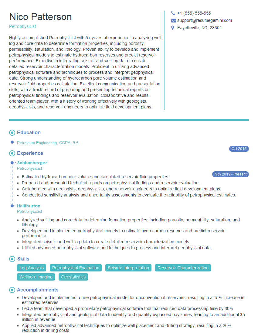
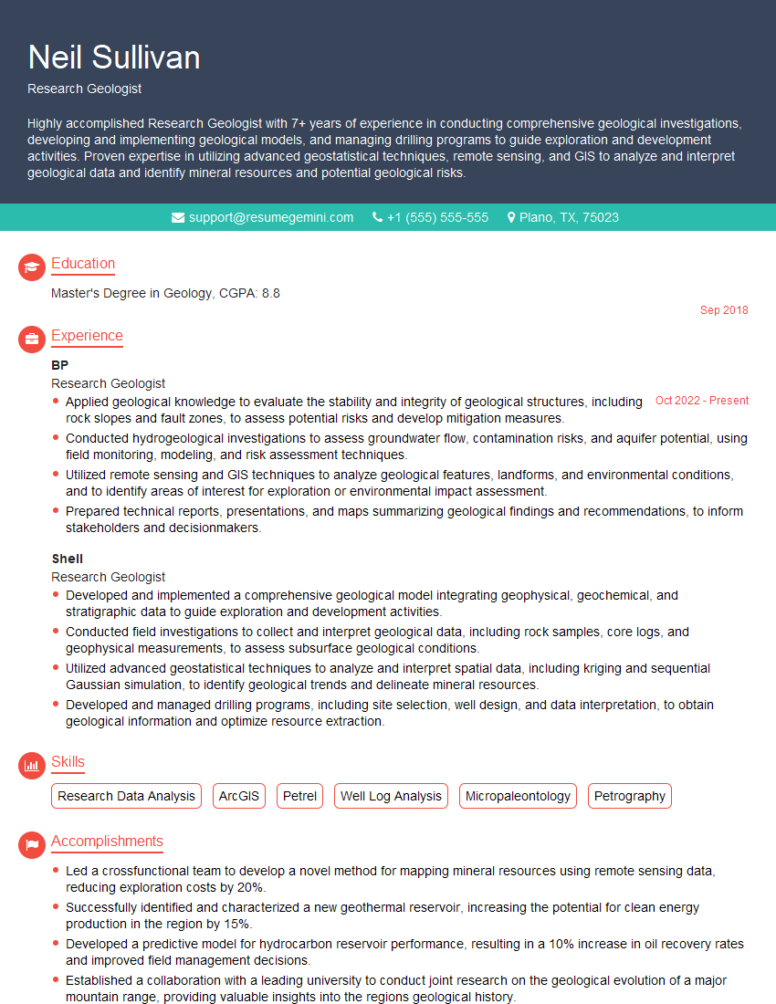
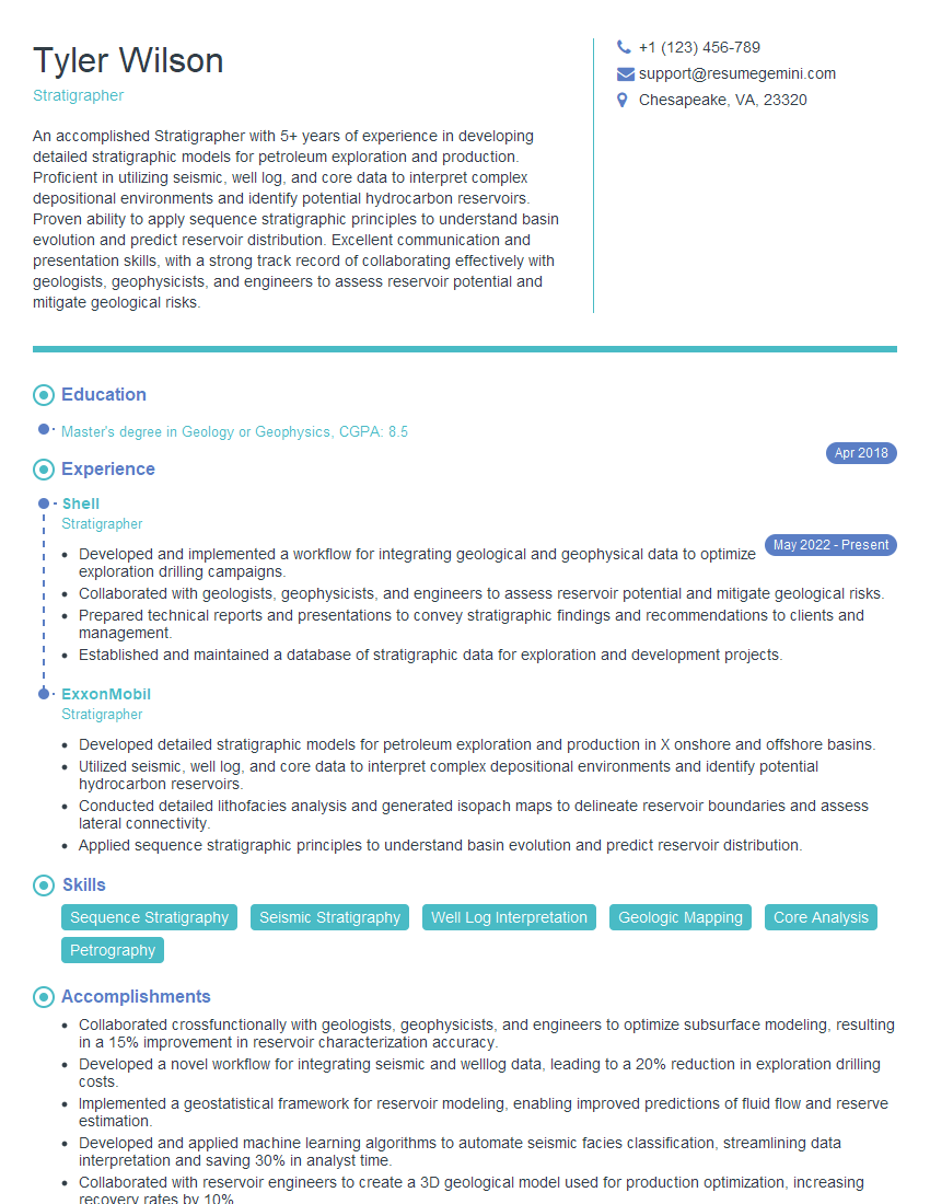
Mastering Geology and Natural History Interpretation opens doors to exciting careers in research, education, conservation, and public outreach. A strong foundation in these areas significantly enhances your job prospects. To maximize your chances of landing your dream role, it’s crucial to create a compelling and ATS-friendly resume that effectively highlights your skills and experience. We strongly recommend leveraging ResumeGemini to build a professional and impactful resume. ResumeGemini offers a user-friendly platform and provides examples of resumes tailored specifically to Geology and Natural History Interpretation, ensuring your qualifications shine. Take this opportunity to create a resume that speaks volumes about your abilities and helps you secure your next career advancement.
Explore more articles
Users Rating of Our Blogs
Share Your Experience
We value your feedback! Please rate our content and share your thoughts (optional).


