The thought of an interview can be nerve-wracking, but the right preparation can make all the difference. Explore this comprehensive guide to Geodetic Calculations interview questions and gain the confidence you need to showcase your abilities and secure the role.
Questions Asked in Geodetic Calculations Interview
Q 1. Explain the difference between geodetic and plane surveying.
Geodetic and plane surveying differ fundamentally in how they handle the Earth’s curvature. Plane surveying assumes the Earth is flat over the survey area, a valid approximation for small areas. Calculations are simplified using plane geometry and trigonometry. Think of mapping a small town – the Earth’s curvature is negligible. Geodetic surveying, on the other hand, explicitly accounts for the Earth’s curvature. It uses an ellipsoidal model of the Earth, a more accurate representation, and employs complex mathematical formulas to perform calculations. This is crucial for large-scale projects like mapping entire countries or continents, where ignoring the Earth’s curvature leads to significant errors.
In essence, plane surveying is a simplified subset of geodetic surveying, suitable only for limited areas. Geodetic surveying provides higher accuracy for larger areas but requires more sophisticated techniques and computations.
Q 2. Describe the various datums used in geodetic calculations.
Datums are fundamental reference systems in geodetic calculations. They define the shape and orientation of the Earth, serving as the basis for coordinate systems. Several datums exist, each with its own reference ellipsoid and origin point. Some prominent examples include:
- North American Datum of 1983 (NAD83): A geocentric datum, meaning its origin is at the Earth’s center of mass. It’s widely used in North America.
- World Geodetic System 1984 (WGS84): Another geocentric datum, it’s the foundation for the Global Positioning System (GPS) and is globally used.
- European Datum 1950 (ED50): A local datum, its origin is fixed to a specific point on the Earth’s surface. It’s used in parts of Europe.
The choice of datum is crucial because different datums yield different coordinates for the same point on Earth. This is due to variations in the reference ellipsoid and its orientation. The consequences of using the wrong datum can be significant, resulting in positional errors in mapping, navigation, and other geospatial applications.
Q 3. How do you handle ellipsoid approximations in geodetic computations?
The Earth isn’t a perfect sphere; it’s more accurately represented by an ellipsoid—a slightly flattened sphere. However, even the ellipsoid is a simplification. In geodetic computations, we handle ellipsoid approximations through several methods:
- Geodetic Coordinate Systems: These systems use latitude, longitude, and ellipsoidal height to define a point’s position on the ellipsoid. Formulas are used to convert between these coordinates and Cartesian coordinates for computational ease.
- Projection Methods: These methods transform the curved surface of the ellipsoid onto a flat plane, facilitating calculations in a 2D Cartesian system. Popular projections like UTM (Universal Transverse Mercator) and Lambert Conformal Conic minimize distortion within specific zones. The choice of projection significantly impacts accuracy, so selecting the appropriate one for the survey area is vital.
- Numerical Techniques: For complex calculations involving geodesics (shortest distances on the ellipsoid) or accurate transformations between coordinate systems, numerical methods like iterative algorithms are employed. These algorithms gradually refine the solution until the desired accuracy is achieved.
Choosing the correct method depends on the application’s accuracy requirements and the size of the area being surveyed. For small areas, simpler approximations are acceptable, but large-scale projects necessitate more rigorous methods.
Q 4. What are the different coordinate systems used in geodesy?
Several coordinate systems are employed in geodesy, each with its strengths and weaknesses:
- Geodetic Coordinates (Latitude, Longitude, Ellipsoidal Height): These coordinates define a point’s position on the reference ellipsoid. Latitude and longitude specify the location, while ellipsoidal height indicates the altitude above the ellipsoid.
- Cartesian Coordinates (X, Y, Z): These three-dimensional coordinates represent a point’s location in a three-dimensional space relative to the Earth’s center. These are often used in computations involving vectors and transformations.
- Plane Coordinates (Easting, Northing): These two-dimensional coordinates are derived from map projections. They represent a point’s location on a projected plane and are commonly used for local surveying.
- UTM (Universal Transverse Mercator) Coordinates: A widely used plane coordinate system that divides the Earth into 60 longitudinal zones. Each zone uses a transverse Mercator projection, minimizing distortion within the zone.
The selection of the appropriate coordinate system is dependent on the application. While geodetic coordinates provide a global reference, plane coordinates are more convenient for local mapping tasks. Conversions between these systems are routinely performed using appropriate transformation formulas.
Q 5. Explain the concept of geoid and its significance in geodetic leveling.
The geoid is an equipotential surface of the Earth’s gravity field that best approximates mean sea level. Imagine it as a global ‘mean sea level’ extended under continents. It’s an irregular surface influenced by variations in the Earth’s gravity due to mass distributions in the Earth’s crust and mantle. Geoid height represents the difference between the geoid and the reference ellipsoid at a specific point.
In geodetic leveling, we aim to determine the height difference between points. Since leveling measurements are typically made along the geoid, we use geoid models to convert orthometric heights (heights above the geoid) to ellipsoidal heights (heights above the ellipsoid). This conversion is crucial for integrating leveling data with GPS measurements, which provide ellipsoidal heights.
For example, without considering geoid height, a GPS-measured elevation might appear significantly different from the elevation obtained through traditional leveling. Accurate geoid models ensure consistency and compatibility between different height systems.
Q 6. Describe the process of transforming coordinates between different datums.
Transforming coordinates between different datums involves converting coordinates from one datum’s reference system to another. This process is essential when integrating data from various sources, each using a different datum. Several methods are available:
- Molodensky-Badekas Transformation: A mathematical model that uses seven parameters (three translations, three rotations, and a scale factor) to map coordinates between datums. This approach is relatively simple but may not be as accurate as other techniques for large-scale transformations.
- Coordinate Frame Transformations: This involves using a set of transformation parameters derived from a comparison of the two datum’s coordinate systems. These parameters can be obtained from various sources, including geodetic agencies. Sophisticated software packages and algorithms are commonly used for accurate implementation.
- Datum-Specific Transformations: Some software packages offer built-in transformations for specific datum pairs. These often use sophisticated algorithms optimized for the particular datum transformation. This approach simplifies the process, providing a convenient way to perform conversions.
Accuracy is paramount. The choice of method depends on the required precision and available resources. For example, for integrating data from older maps with modern GPS data, a carefully chosen transformation is crucial to ensure accurate overlay and analysis.
Q 7. How do you account for atmospheric refraction in GPS measurements?
Atmospheric refraction significantly affects GPS measurements by bending the signal as it travels through the atmosphere. The atmosphere’s density isn’t uniform, causing the signal’s path to deviate from a straight line. This leads to errors in the calculated position.
We account for atmospheric refraction using several techniques:
- Atmospheric Models: Models like the Saastamoinen model estimate the atmospheric delay based on meteorological data (temperature, pressure, humidity). These models provide a reasonable estimate of the delay, though their accuracy can vary depending on atmospheric conditions.
- Differential GPS (DGPS): By using a reference station with a known position, DGPS techniques can mitigate the effects of atmospheric refraction. Differences in the signals received at the reference station and the receiver are used to correct for the atmospheric delays.
- Real-Time Kinematic (RTK) GPS: RTK GPS uses carrier-phase measurements and precise real-time corrections from a base station to achieve centimeter-level accuracy, effectively mitigating the effects of refraction and other errors.
The best method depends on the application. For high-accuracy applications like surveying or construction, RTK GPS is preferred. For less demanding applications, atmospheric models combined with DGPS can be sufficient.
Q 8. Explain the concept of least squares adjustment in geodetic surveying.
Least squares adjustment is a fundamental technique in geodetic surveying used to reconcile discrepancies between observed measurements and a mathematical model. Imagine you’re trying to build a perfectly square table, but your measurements of the sides are slightly off. Least squares helps you find the ‘best-fitting’ square that minimizes the overall error in your measurements. It works by finding the set of corrections to your observations that minimizes the sum of the squares of the residuals (the differences between observed and computed values). This minimization is achieved using matrix algebra and iterative techniques. The result is a set of adjusted values that are statistically the most likely to represent the true values.
In geodetic surveying, this means adjusting the coordinates of points to best fit the observed distances, angles, and elevations. For example, if we measure the distances between three points, slight errors in measurement will likely result in a triangle that doesn’t quite close. Least squares adjustment helps us find the optimal positions for these points that minimize the inconsistency. Software packages readily perform these complex calculations.
Q 9. What are the sources of error in GPS measurements, and how can they be mitigated?
GPS measurements are susceptible to various errors. These can be broadly categorized into:
- Atmospheric Errors: Ionospheric and tropospheric delays caused by the signal passing through the Earth’s atmosphere. These delays are affected by weather conditions and can be significant.
- Multipath Errors: Signals reflecting off buildings, trees, or other surfaces before reaching the receiver. This creates multiple signals arriving at different times, distorting the true signal.
- Receiver Noise: Random errors associated with the receiver’s electronics and processing.
- Satellite Clock Errors: Inaccuracies in the atomic clocks onboard the satellites.
- Satellite Orbital Errors: Errors in the satellite’s known position.
Mitigation strategies include:
- Differential GPS (DGPS): Using a reference station with known coordinates to correct for atmospheric and satellite errors.
- Real-Time Kinematic (RTK) GPS: A more precise technique employing carrier-phase measurements and precise base station data for real-time centimeter-level accuracy.
- Precise Point Positioning (PPP): Using precise satellite orbit and clock information from global networks for high-accuracy positioning even with a single receiver.
- Advanced signal processing techniques: Software algorithms designed to filter out noise and multipath effects.
By employing appropriate mitigation techniques, the impact of these errors can be significantly reduced, achieving the desired level of accuracy.
Q 10. Describe different types of GPS receivers and their applications.
GPS receivers vary significantly in their capabilities and applications. They range from simple handheld units to sophisticated geodetic receivers:
- Handheld GPS Receivers: These are portable and inexpensive, suitable for recreational navigation and basic surveying tasks. Accuracy is typically in the meter range.
- Mapping-Grade GPS Receivers: Designed for surveying and mapping applications, these receivers offer higher accuracy (centimeter-level) and utilize more sophisticated signal processing techniques. They often have multiple channels for tracking multiple satellites simultaneously.
- Geodetic-Grade GPS Receivers: The most accurate type of receiver, used for high-precision geodetic surveys and scientific applications. These receivers are highly sensitive, capable of tracking weak signals and precisely measuring carrier phases. They often incorporate features for precise antenna calibration and data logging.
Applications are diverse: Handheld units are used by hikers and outdoors enthusiasts; mapping-grade receivers are employed in construction, agriculture, and GIS data collection; while geodetic-grade receivers are critical in establishing geodetic control networks, monitoring crustal deformation, and precise engineering projects requiring sub-centimeter accuracy.
Q 11. How do you determine the accuracy of geodetic measurements?
Determining the accuracy of geodetic measurements involves several steps:
- Internal Consistency Checks: Analyzing the internal consistency of the measurements themselves. This involves checking for gross errors and assessing the precision (repeatability) of the measurements.
- External Comparisons: Comparing measurements against known values or control points. For instance, in a survey, comparing measured distances to known distances from existing maps or data.
- Statistical Analysis: Employing statistical techniques to assess the accuracy of the measurements. This includes calculating standard deviations, confidence intervals, and other statistical measures. Root Mean Square Error (RMSE) is a commonly used metric.
- Error Propagation Analysis: Evaluating how errors in individual measurements propagate through calculations to affect the final results.
The accuracy is typically expressed as a standard deviation or a confidence interval. A smaller standard deviation indicates higher accuracy. The choice of accuracy assessment methods depends on the specific type of geodetic measurement and the desired level of precision.
Q 12. Explain the principles of trilateration and triangulation.
Trilateration and triangulation are fundamental surveying techniques for determining the relative positions of points.
Trilateration: This method involves measuring the distances between points. Imagine you have three points and you measure the distances between each pair. With these three distances, you can determine the positions of the three points uniquely in a plane (or in 3D space if you use more points). It’s like having three circles intersecting – the intersection defines the point’s position. GPS relies heavily on trilateration, measuring the distances (pseudoranges) to multiple satellites.
Triangulation: This technique involves measuring angles between points. Imagine you’re standing at one point and measure the angles to two other points with known coordinates. Using trigonometry, you can calculate the location of the third point. Triangulation is useful when measuring distances is difficult or impractical. Historically, triangulation was a cornerstone of large-scale geodetic surveys, establishing networks of precisely located points across entire countries.
Both techniques can be combined and are often used in conjunction with least squares adjustment to improve the accuracy of the determined positions.
Q 13. How do you perform geodetic calculations using software like ArcGIS or AutoCAD?
Software like ArcGIS and AutoCAD provide tools for geodetic calculations. They are not specialized geodetic computation packages like some others, but they do offer many capabilities.
ArcGIS: ArcGIS utilizes spatial reference systems (coordinate systems) to store and manipulate geospatial data. It allows for coordinate transformations (e.g., converting between UTM and latitude/longitude), geoprocessing tasks involving distance and area calculations, and integration with GPS data. It relies on underlying libraries and algorithms to perform the calculations. Specific tools will depend on the extensions available.
AutoCAD: AutoCAD, while primarily a CAD program, has functionalities for coordinate geometry, distance calculations, and area computations. It offers tools for creating and manipulating points, lines, and polygons within defined coordinate systems. However, the geodetic capabilities are more limited than in a dedicated GIS software like ArcGIS.
In both cases, the user typically defines the input data (coordinates, distances, angles), specifies the coordinate system, and selects the appropriate tools to perform the calculations. The software then uses internal algorithms to generate results, often integrating with external libraries for more advanced calculations.
Q 14. What are the common applications of geodetic calculations in engineering projects?
Geodetic calculations are crucial in numerous engineering projects:
- Construction and Engineering: Establishing precise control networks for large-scale projects like bridges, dams, and tunnels. This ensures accurate positioning of structures and minimizes errors during construction.
- Land Surveying and Mapping: Creating accurate maps and property boundaries. Geodetic calculations are essential for defining coordinates, distances, and areas.
- Mining and Resource Management: Determining the precise locations of mineral deposits and managing resources efficiently. This often involves establishing high-precision control networks.
- Environmental Monitoring: Tracking changes in land elevation, shoreline movement, or glacial retreat. This often uses GPS or other geodetic techniques for precise measurements over time.
- Infrastructure Monitoring: Monitoring the stability and deformation of structures (e.g., bridges, buildings) over time. GPS-based techniques are used to detect subtle movements.
Essentially, any project requiring high-accuracy spatial referencing and precise measurements benefits greatly from the application of geodetic calculations.
Q 15. Describe your experience with different geodetic instruments (e.g., total station, GPS receiver).
My experience with geodetic instruments spans over a decade, encompassing both traditional and modern technologies. I’m proficient in using total stations for precise distance and angle measurements, crucial for tasks like boundary surveys and construction layout. I’ve extensively utilized various total stations, from basic models to those with robotic features and advanced data logging capabilities. For instance, I’ve used Leica TS16 and Trimble M3 total stations for large-scale infrastructure projects, appreciating their accuracy and efficiency in data collection. Furthermore, I’m highly experienced with GPS receivers, ranging from single-frequency to multi-frequency receivers with RTK (Real-Time Kinematic) capabilities. These are essential for precise positioning and applications such as geospatial mapping and deformation monitoring. I’ve worked extensively with Trimble R8s and Topcon GR-3 receivers, often integrating them with post-processing software for centimeter-level accuracy. This combination of traditional and GNSS technologies allows for a flexible and highly accurate approach to various surveying tasks.
Career Expert Tips:
- Ace those interviews! Prepare effectively by reviewing the Top 50 Most Common Interview Questions on ResumeGemini.
- Navigate your job search with confidence! Explore a wide range of Career Tips on ResumeGemini. Learn about common challenges and recommendations to overcome them.
- Craft the perfect resume! Master the Art of Resume Writing with ResumeGemini’s guide. Showcase your unique qualifications and achievements effectively.
- Don’t miss out on holiday savings! Build your dream resume with ResumeGemini’s ATS optimized templates.
Q 16. Explain your understanding of the Global Navigation Satellite System (GNSS).
The Global Navigation Satellite System (GNSS) is a constellation of satellites that provide positioning, navigation, and timing (PNT) services globally. The most well-known GNSS is the US-based GPS, but others include GLONASS (Russia), Galileo (Europe), and BeiDou (China). Each system comprises multiple satellites broadcasting signals that GNSS receivers use to determine their location. The basic principle involves measuring the time it takes for signals to travel from multiple satellites to the receiver. By knowing the satellite positions and the signal travel times, the receiver can calculate its three-dimensional coordinates (latitude, longitude, and height). However, the accuracy isn’t perfect out-of-the-box; atmospheric effects, multipath errors (signals bouncing off buildings), and receiver clock errors all introduce inaccuracies. To improve precision, techniques like Differential GNSS (DGNSS) and RTK are employed, using a base station with a known position to correct for errors. This enables centimeter-level accuracy, making GNSS indispensable for various applications, including precision agriculture, autonomous vehicles, and high-precision mapping.
Q 17. How do you handle data inconsistencies in geodetic datasets?
Data inconsistencies in geodetic datasets are common and can stem from various sources, including measurement errors, data entry mistakes, and discrepancies between different data sources. My approach to handling these involves a multi-step process. Firstly, I conduct a thorough data validation, checking for outliers and inconsistencies using statistical methods and visual inspection. Secondly, I identify the source of the inconsistencies. This could involve examining field notes, instrument calibration records, or metadata associated with the data. For example, I may find that a particular GPS measurement was significantly affected by atmospheric conditions or multipath. Thirdly, I apply appropriate corrections or data cleaning techniques. This might involve removing outliers, applying corrections based on identified error sources, or using data fusion techniques to combine multiple datasets and reduce inconsistencies. If significant inconsistencies remain after this process, I will often conduct further field investigations to verify the data or re-process the data using different methods. Proper documentation of all data cleaning steps is crucial for maintaining transparency and reproducibility.
Q 18. What is the role of ellipsoidal height and orthometric height in geodetic surveying?
Ellipsoidal height and orthometric height are two different types of height measurements used in geodetic surveying. Ellipsoidal height (h) refers to the height above the reference ellipsoid, a mathematical model approximating the Earth’s shape. It’s directly derived from GNSS measurements. Orthometric height (H) represents the height above the geoid, which is an equipotential surface approximating mean sea level. It’s considered the true height above sea level. The difference between these two heights is the geoid undulation (N = h – H). Understanding this distinction is crucial because different applications require different height systems. For example, GNSS applications typically use ellipsoidal heights, while topographic maps and hydrological studies often use orthometric heights. Converting between the two requires geoid models, which provide the geoid undulation at various locations. Without proper consideration of this conversion, significant errors can arise in applications requiring elevation information.
Q 19. Describe your experience with geodetic data processing and analysis.
My experience in geodetic data processing and analysis involves using various software packages and techniques. I’m proficient in processing GNSS data using software like Leica GeoOffice and Trimble Business Center, incorporating RTK post-processing and precise point positioning (PPP) techniques to achieve high accuracy. I’ve also used data processing software such as TerraScan and ArcGIS to perform tasks such as terrain modeling, surface analysis, and three-dimensional coordinate transformations. This includes working with large geospatial datasets and applying various geostatistical methods for interpolation and analysis. For example, I’ve successfully processed and analyzed GNSS data from multiple base stations to create high-precision georeferenced maps used in urban planning. This also involves rigorously applying quality control measures throughout the processing workflow.
Q 20. How do you ensure the quality and accuracy of geodetic data?
Ensuring the quality and accuracy of geodetic data is paramount. My approach encompasses several key aspects. Firstly, I employ rigorous quality control (QC) procedures at each stage of the data acquisition, processing, and analysis. This involves checking for outliers, assessing data precision and accuracy, and verifying data consistency. Secondly, I meticulously maintain and calibrate geodetic instruments, ensuring their proper functioning and compliance with relevant standards. Thirdly, I carefully select appropriate processing techniques and parameters based on the project requirements and the characteristics of the data. For instance, I might select different parameters for the RTK processing of a high-accuracy survey compared to a less precise topographic survey. Fourthly, I leverage independent data sources and validation methods to verify the accuracy of my results. This could involve comparing my data against existing topographic maps or conducting independent measurements using different instruments. Finally, thorough documentation of all procedures, including instrument calibration records and data processing parameters, is essential for traceability and reproducibility.
Q 21. Explain your understanding of map projections and their applications.
Map projections are mathematical transformations that represent the three-dimensional Earth’s surface onto a two-dimensional map. Since it’s impossible to perfectly represent a curved surface on a flat plane without distortion, different projections are designed to minimize specific types of distortions, such as area, shape, distance, or direction. The choice of projection depends entirely on the application. For example, the Mercator projection is well-known for preserving angles, making it suitable for navigation, but it significantly distorts area at higher latitudes. Equal-area projections like Albers equal-area conic preserve area but distort shape. Understanding the strengths and limitations of different projections is crucial for interpreting and using maps accurately. For instance, I’ve used UTM (Universal Transverse Mercator) projections for regional mapping projects because of its relatively low distortion across smaller areas. Other projections, such as the Lambert conformal conic, are selected based on the specific region and project requirements, often using geographic information systems (GIS) software to manage and manipulate data within various map projections.
Q 22. How do you use geodetic calculations for boundary determination?
Geodetic calculations are fundamental to precise boundary determination. We use them to accurately define and represent the location and shape of land parcels, considering the Earth’s curvature. This isn’t as simple as using a flat map; the Earth is an oblate spheroid, meaning its shape is slightly flattened at the poles and bulging at the equator. Therefore, we rely on geodetic coordinate systems (like latitude and longitude) and datums (reference ellipsoids) to accurately represent positions.
The process typically involves:
- Establishing control points: High-precision GPS measurements are used to establish a network of control points with known coordinates. These points serve as the basis for all subsequent calculations.
- Traversing and triangulation: Using total stations or GPS, we measure distances and angles between points to create a detailed network of points defining the boundary.
- Coordinate transformation: Measurements are often made in one coordinate system, and need to be transformed to the system required by the land registry or client. This often involves applying datum transformations, accounting for the differences between various reference ellipsoids.
- Area calculation: Once the boundary points are accurately defined, we use geodetic algorithms to calculate the area of the parcel. This is important for legal and property valuation purposes.
- Boundary demarcation: The final step involves physically marking the boundaries on the ground using markers or other permanent features, guided by the precise coordinates determined through calculations.
For example, I once worked on a project involving a disputed boundary between two large properties near a coastline. Using precise geodetic calculations incorporating tidal corrections, we were able to definitively resolve the dispute and provide legally sound boundary documentation.
Q 23. Describe the different types of errors encountered in geodetic surveying.
Geodetic surveying is susceptible to various errors, broadly categorized into:
- Systematic errors: These are consistent and repeatable errors that follow a predictable pattern. Examples include instrument calibration errors (e.g., a misaligned theodolite), systematic errors in atmospheric refraction affecting GPS measurements, and errors due to using an incorrect datum or ellipsoid.
- Random errors: These are unpredictable errors due to chance variations in measurements. Examples include errors in reading instruments, human error in data recording, and small, unpredictable variations in atmospheric conditions.
- Gross errors: These are significant errors caused by mistakes in observation or data processing. Examples include misreading a scale, incorrectly recording data, or errors in data entry or computation. These are often detected by outlier analysis.
Understanding these error types is crucial for quality control. We employ techniques like least squares adjustment to minimize the impact of random errors and rigorous quality checks to identify and correct gross errors. Careful instrument calibration and atmospheric modeling helps to reduce systematic errors.
Imagine surveying a large area with multiple GPS receivers. Atmospheric conditions, like variations in temperature and pressure, can systematically affect GPS measurements. We use atmospheric models and corrections to mitigate such systematic errors and ensure high accuracy.
Q 24. What are your skills in using geodetic software packages?
I’m proficient in several geodetic software packages, including:
- ArcGIS Pro: For geospatial data management, analysis, and cartography. I have extensive experience using its geoprocessing tools for tasks such as coordinate transformations, surface modeling, and network analysis.
- AutoCAD Map 3D: For precise CAD-based mapping and surveying calculations. I use it for creating and editing digital terrain models (DTMs) and performing coordinate geometry (COGO) calculations.
- Trimble Business Center (TBC): For post-processing and analyzing data from Trimble GPS receivers. This involves dealing with large datasets, performing precise coordinate transformations, and generating comprehensive reports.
- LGO (Leica Geo Office): Similar functionality to TBC for processing Leica GPS data and managing survey projects.
My skills extend beyond simple data entry; I can develop customized scripts and workflows within these packages to automate repetitive tasks and enhance efficiency. I’m comfortable working with various data formats (e.g., SHP, GeoJSON, DXF) and integrating data from multiple sources.
Q 25. How would you approach a problem involving datum transformation?
Datum transformation is crucial when dealing with data from different coordinate systems. It involves converting coordinates from one datum to another, accounting for differences in the reference ellipsoid and its orientation. A common example is transforming coordinates from NAD83 to WGS84.
My approach to a datum transformation problem involves:
- Identifying the source and target datums: Knowing precisely which datums are involved is the first and most critical step. A misunderstanding here can lead to significant errors.
- Choosing the appropriate transformation method: Several methods exist, including grid-based transformations (e.g., using a NTv2 grid file) and 7-parameter transformations. The choice depends on the accuracy required, the geographic area, and the availability of transformation parameters.
- Applying the transformation: I use geodetic software to apply the chosen transformation method, using appropriate transformation parameters. This can involve using software functions or writing custom scripts, depending on the complexity of the task.
- Validating the results: After transformation, it’s crucial to validate the results. This can involve comparing transformed coordinates with known coordinates in the target datum or using independent verification methods.
For instance, I once had to transform a historical land survey dataset from a legacy datum to the current national datum. This involved finding and applying the correct transformation parameters using a grid-based method to ensure the historical data would accurately align with modern surveys.
Q 26. Explain the concept of georeferencing and its importance.
Georeferencing is the process of assigning geographic coordinates (latitude and longitude) to points in a dataset, such as an image or map. It’s essentially about connecting a spatial dataset to a known geographic location.
Imagine you have an old aerial photograph of a city. Georeferencing allows you to precisely place this photo onto a map by identifying control points—features that appear in both the photo and a reference map—and then using transformation algorithms to accurately align the photo to the map’s coordinate system.
Its importance lies in:
- Spatial analysis: Georeferenced data can be analyzed in a geographic context. This allows for overlaying different datasets, identifying spatial relationships, and performing geographic queries.
- Data integration: Georeferencing facilitates combining data from diverse sources, such as satellite imagery, aerial photos, and vector data layers, into a unified geographic information system (GIS).
- Map creation: Georeferencing is essential for creating accurate and geographically referenced maps.
- Decision support: Georeferenced data is invaluable for informed decision-making in various fields, including urban planning, environmental management, and disaster response.
Without georeferencing, datasets would remain isolated and lack the vital context provided by geographic coordinates, significantly limiting their usability and analytical power.
Q 27. Describe your experience with working with large geospatial datasets.
I have extensive experience working with large geospatial datasets, often exceeding terabytes in size. My experience includes managing and processing datasets from various sources, including satellite imagery (Landsat, Sentinel), LiDAR point clouds, and large vector datasets containing millions of features.
My approach involves:
- Data partitioning and processing: I employ techniques such as data tiling and parallel processing to efficiently handle large datasets, avoiding memory limitations. This might involve breaking a large raster dataset into smaller tiles, processing each tile independently, and then reassembling the results.
- Database management: I am proficient in using spatial databases (e.g., PostGIS) to efficiently store, manage, and query large geospatial datasets. This allows for fast data retrieval and complex spatial analysis.
- Cloud computing: I utilize cloud computing platforms (e.g., AWS, Google Cloud) to leverage their scalable resources for processing and storing extremely large datasets. This often includes using cloud-based GIS platforms to manage and process datasets efficiently.
- Data compression and optimization: I employ techniques such as lossless and lossy compression to reduce storage space and improve processing speeds without compromising the data’s essential integrity.
A recent project involved processing a massive LiDAR point cloud to create a high-resolution digital elevation model (DEM) for a large national park. This required careful planning and execution, employing parallel processing techniques and cloud-based resources to efficiently manage and process the data within reasonable timeframes.
Key Topics to Learn for Geodetic Calculations Interview
- Coordinate Systems and Datums: Understanding different coordinate systems (e.g., geographic, projected) and datums is fundamental. Be prepared to discuss their differences and applications in various geodetic tasks.
- Geodetic Transformations: Mastering transformations between different coordinate systems (e.g., UTM to latitude/longitude) is crucial. Practice solving problems involving datum transformations and coordinate conversions.
- Ellipsoid Geometry: A solid grasp of ellipsoid geometry, including calculations related to distances, areas, and azimuths on the ellipsoid, is essential. Be prepared to explain the underlying mathematical principles.
- Geodesy Software and Tools: Familiarity with common geodetic software packages and tools will demonstrate practical experience. Be ready to discuss your proficiency with specific software and their applications.
- Error Analysis and Propagation: Understanding sources of error in geodetic measurements and how to analyze and propagate these errors is critical for accurate results. Practice solving problems involving error analysis.
- Applications in Surveying and Mapping: Be prepared to discuss practical applications of geodetic calculations in surveying, mapping, and other related fields. Examples include boundary determination, control network design, and spatial data analysis.
- Height Systems and Vertical Datum: Understanding different height systems (orthometric, ellipsoidal) and their transformations is important, especially in applications involving precise elevation data.
Next Steps
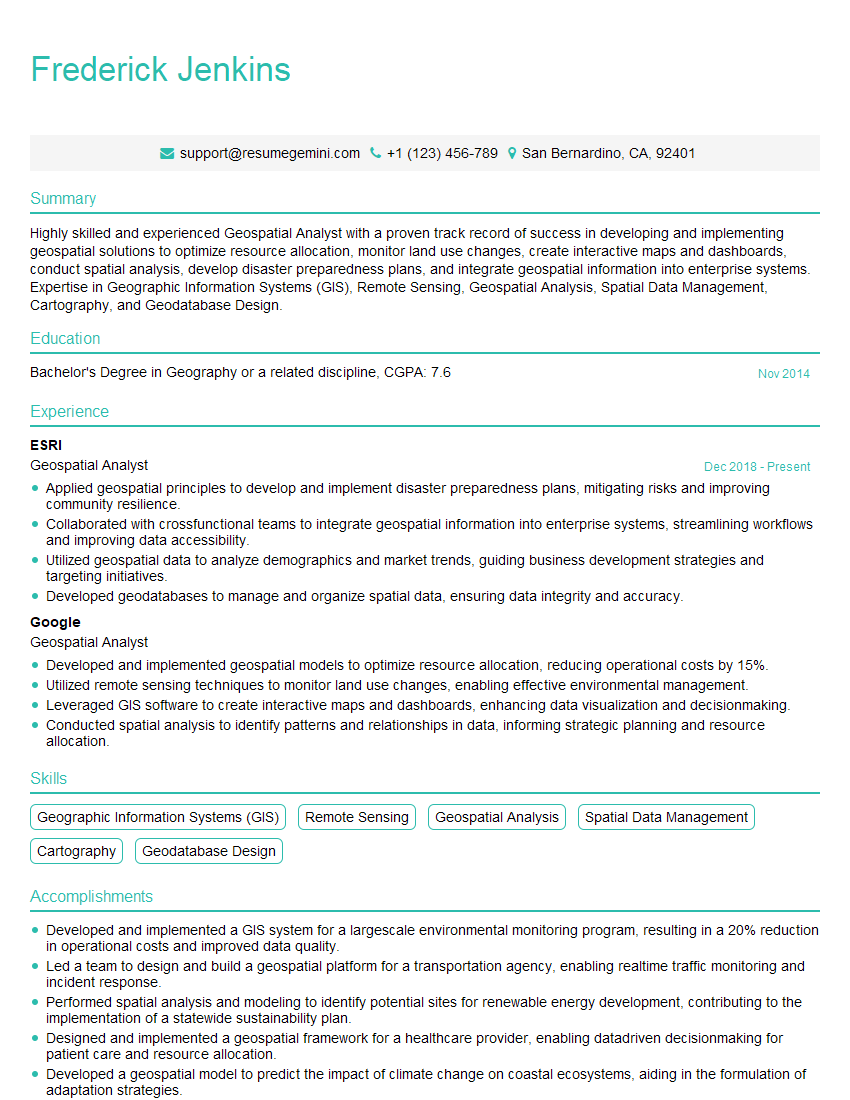
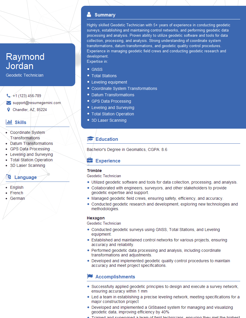
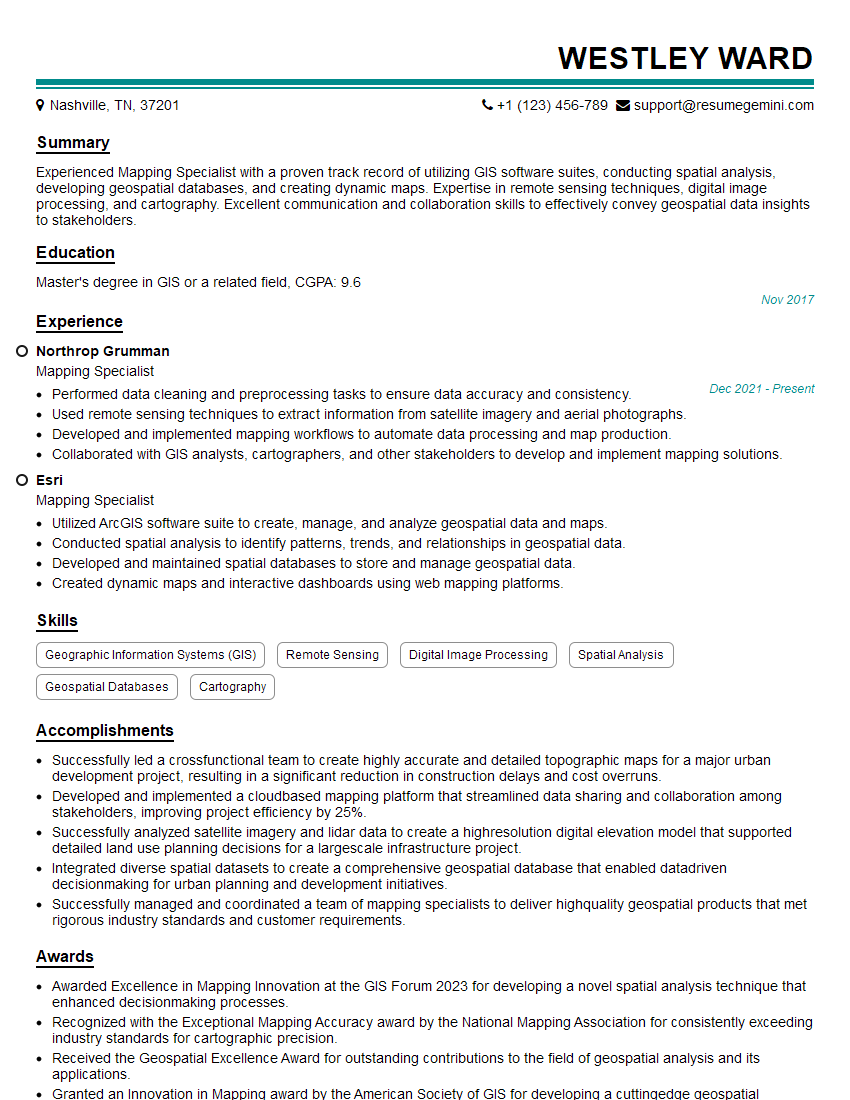
Mastering geodetic calculations opens doors to exciting career opportunities in surveying, GIS, mapping, and related fields, offering rewarding challenges and professional growth. To maximize your job prospects, creating a strong, ATS-friendly resume is essential. ResumeGemini can help you craft a compelling resume that highlights your skills and experience effectively. ResumeGemini provides examples of resumes tailored to Geodetic Calculations to help you create a standout application. Take the next step in your career journey – build a resume that reflects your expertise and secures your dream job.





Explore more articles
Users Rating of Our Blogs
Share Your Experience
We value your feedback! Please rate our content and share your thoughts (optional).
What Readers Say About Our Blog
Very informative content, great job.
good